MyTopo
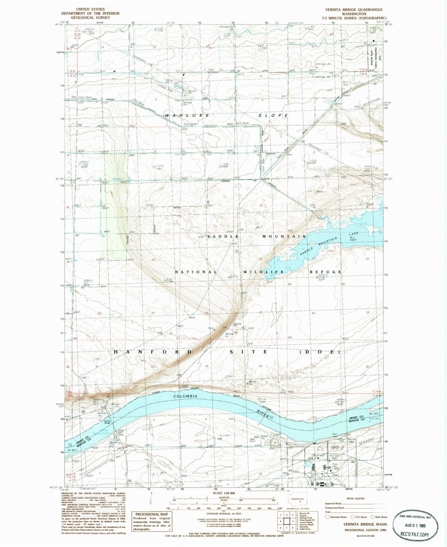
Classic USGS Vernita Bridge Washington 7.5'x7.5' Topo Map
Regular price
$16.95
Regular price
Sale price
$16.95
Unit price
per
Couldn't load pickup availability
Historical USGS topographic quad map of Vernita Bridge in the state of Washington. Map scale may vary for some years, but is generally around 1:24,000. Print size is approximately 24" x 27"
This quadrangle is in the following counties: Benton, Grant.
The map contains contour lines, roads, rivers, towns, and lakes. Printed on high-quality waterproof paper with UV fade-resistant inks, and shipped rolled.
Contains the following named places: Grant County Fire District 8 Station 83, Haven, Mattawa Air Strip, Saddle Mountain Lake, Saddle Mountain Wasteway, Vernita Bridge, Wahatis Wasteway, ZIP Code: 99349