MyTopo
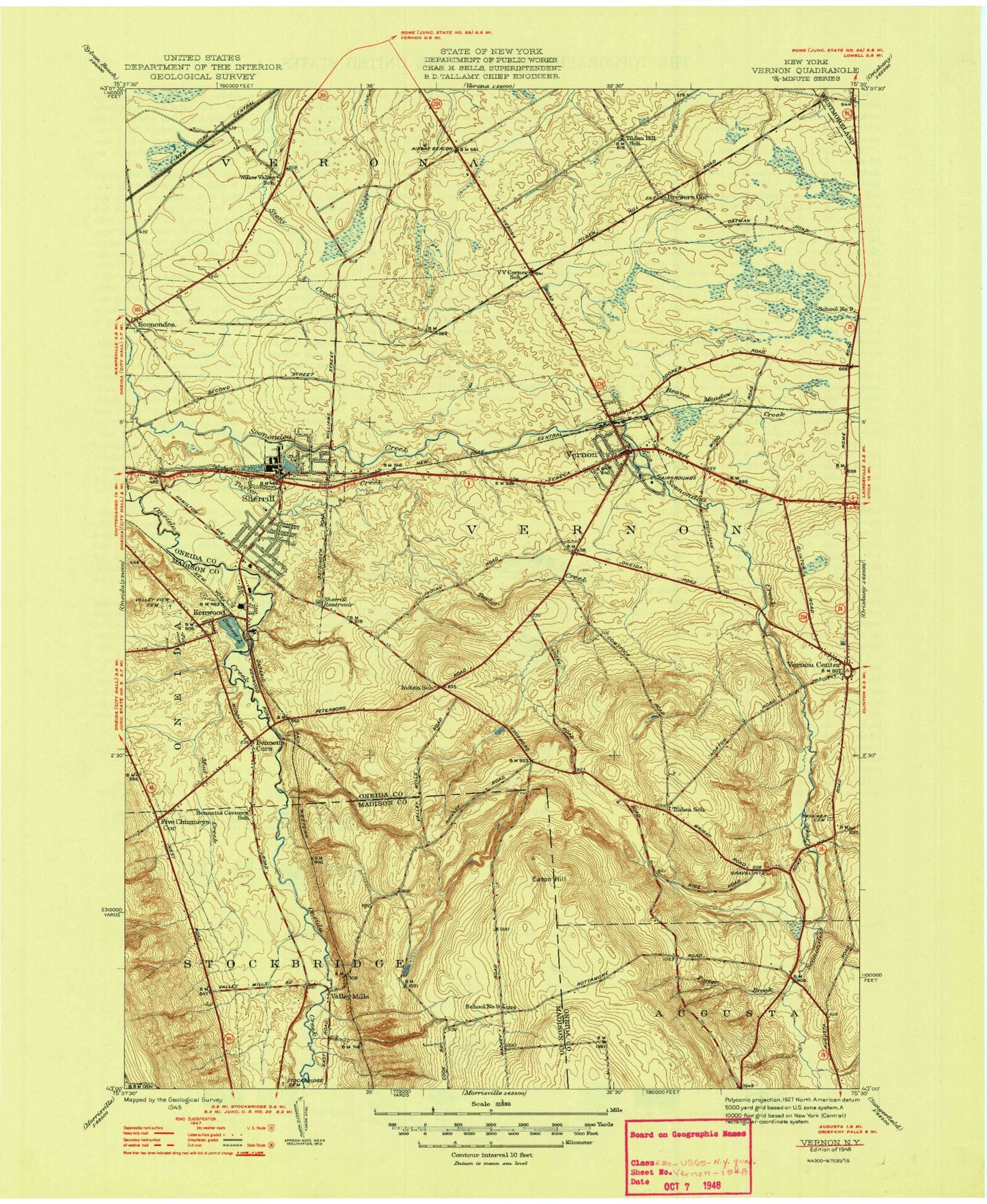
Classic USGS Vernon New York 7.5'x7.5' Topo Map
Couldn't load pickup availability
Historical USGS topographic quad map of Vernon in the state of New York. Map scale may vary for some years, but is generally around 1:24,000. Print size is approximately 24" x 27"
This quadrangle is in the following counties: Madison, Oneida.
The map contains contour lines, roads, rivers, towns, and lakes. Printed on high-quality waterproof paper with UV fade-resistant inks, and shipped rolled.
Contains the following named places: Beacon Light Baptist Church, Beaver Meadow Creek, Bennetts Corners, Brewers Corner, Christ United Methodist Church, City of Sherrill, E A McAllister Elementary School, Eaton Hill, Five Chimneys Corner, Gethsemane Episcopal Church, Green Acres Mobile Home Park, Holy Family Church, Indian Church, Kenwood, Mount Vernon Presbyterian Church, Mud Creek, Oneida Castle Volunteer Fire Department, Oneida Community Cemetery, Oneida Community Golf Club, Oneida Community Mansion House, Our Lady of Good Counsel Church, Plymouth Alliance Church, Porter Brook, Quiet Valley Trailer Park, Saint Helena's Church, Sconondoa, Sherrill, Sherrill - Kenwood Free Library, Sherrill - Kenwood Volunteer Fire Department, Sherrill City Sewage Treatment Plant, Sherrill Post Office, Sherrill Reservoir, Skinner Cemetery, Stockbridge Cemetery, Stockbridge Valley, Sunset Lake, Sweet Grass Farm, Taylor Creek, The Church of Jesus Christ of Latter Day Saints, Town of Vernon, Valley Mills, Valley View Cemetery, Vernon, Vernon Baptist Church, Vernon Center, Vernon Center Methodist Church, Vernon Center Post Office, Vernon Center Volunteer Fire Department, Vernon Downs, Vernon Downs Mobile Home Park, Vernon Post Office, Vernon Public Library, Vernon Sewage Treatment Plant, Vernon-Verona-Sherrill Senior High School, Village of Vernon, Volunteer Fire Company of Vernon, VVS Central School, W A Wettel Elementary School, Willow Place, Windex Farms, ZIP Codes: 13461, 13476, 13477


