MyTopo
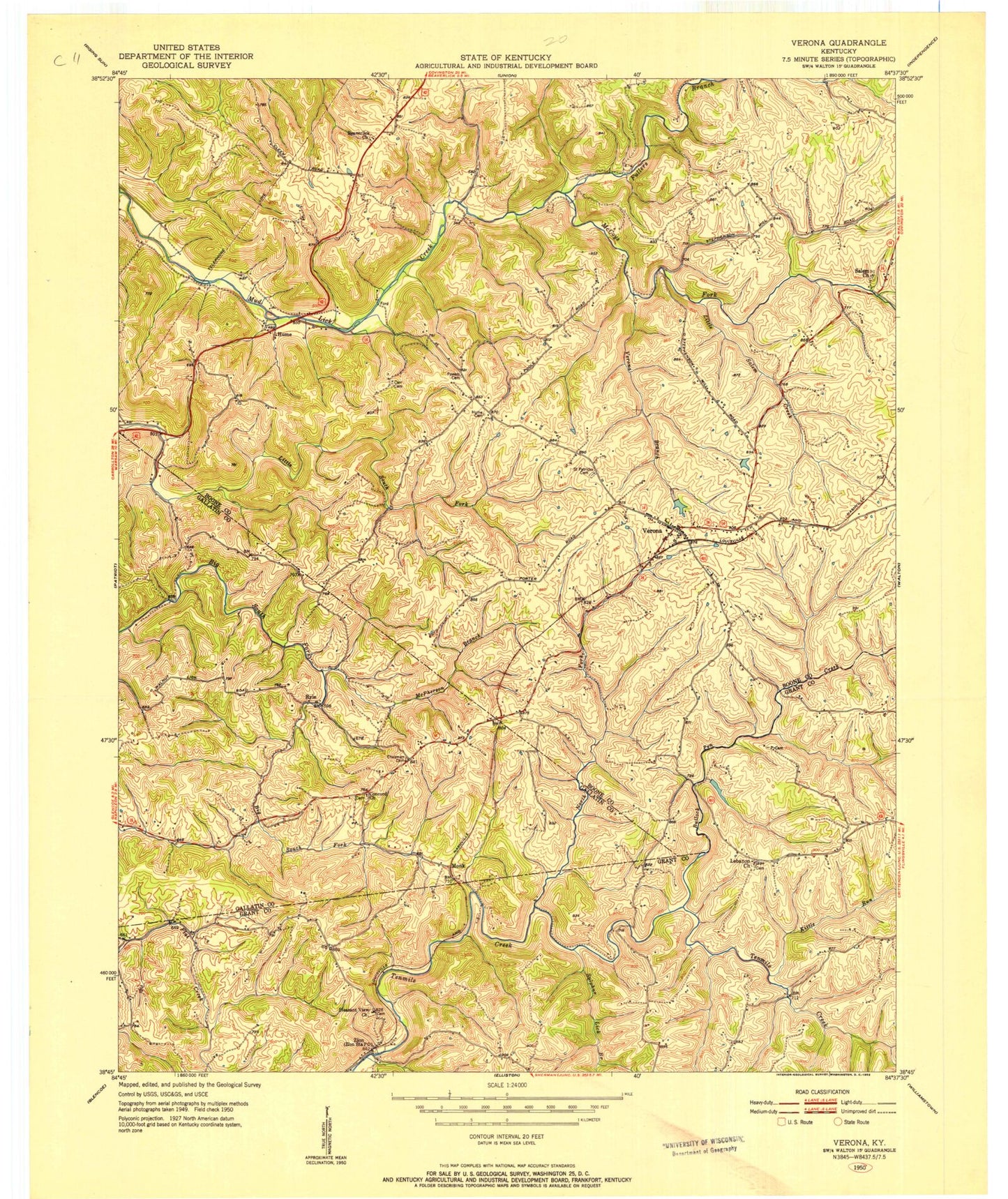
Classic USGS Verona Kentucky 7.5'x7.5' Topo Map
Couldn't load pickup availability
Historical USGS topographic quad map of Verona in the state of Kentucky. Map scale may vary for some years, but is generally around 1:24,000. Print size is approximately 24" x 27"
This quadrangle is in the following counties: Boone, Gallatin, Grant.
The map contains contour lines, roads, rivers, towns, and lakes. Printed on high-quality waterproof paper with UV fade-resistant inks, and shipped rolled.
Contains the following named places: Beaverlick Church, Beaverlick Church Cemetery, Bullock Pen Creek, Bullock Pen Lake, Carr Cemetery, Chapman Cemetery, Concord Church, Crittenden Division, Flat Creek Church, Hume, Hume Cemetery, Hume Post Office, Kittle Run, Lebanon Church, Little Salem Creek, McCoys Fork, McPherson Branch, Mueller Farm Airport, Munk, New Bethel Church Cemetery, North Fork Ten Mile Creek, Northern Kentucky Speedway, Pleasant View Church, Powers Cemetery, Ryan Field Airport, Ryle, Saint Patrick Catholic Church, Saint Patricks Cemetery, Salem Baptist Church, Salem Church Cemetery, Stephensons Mill, Sulphur Lick Branch, Verona, Verona Branch, Verona Census Designated Place, Verona Elementary School, Verona Fire Protection District, Verona Landing, Verona Post Office, Verona Railroad Station, Verona Rescue Squad, Walton Division, Zion Station, ZIP Codes: 41092, 41095