MyTopo
Classic USGS Verona New York 7.5'x7.5' Topo Map
Couldn't load pickup availability
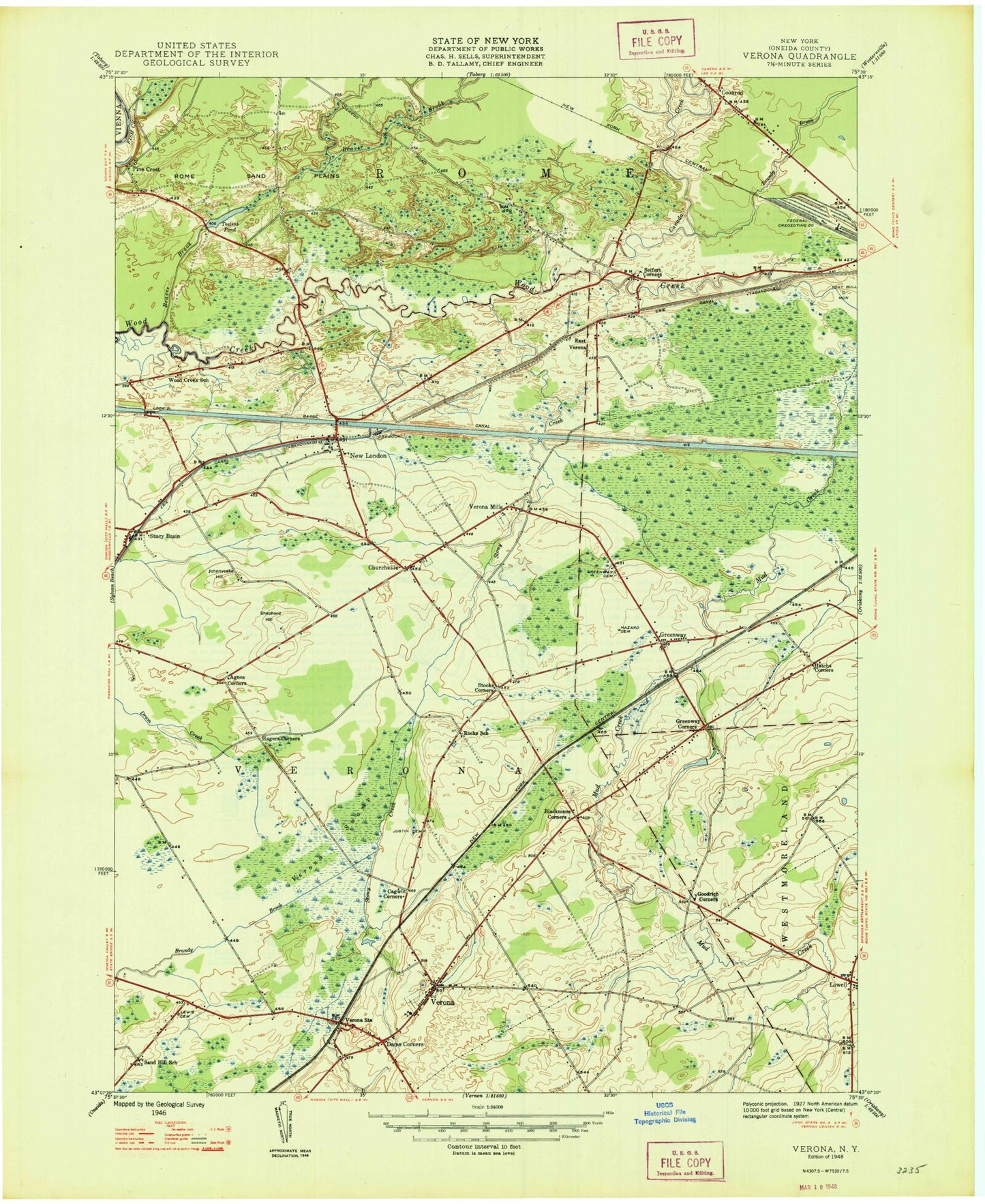
Historical USGS topographic quad map of Verona in the state of New York. Map scale may vary for some years, but is generally around 1:24,000. Print size is approximately 24" x 27"
This quadrangle is in the following counties: Oneida.
The map contains contour lines, roads, rivers, towns, and lakes. Printed on high-quality waterproof paper with UV fade-resistant inks, and shipped rolled.
Contains the following named places: Agnes Corners, Beaver Brook, Blackmans Corners, Boyd Manor, Brandy Brook, Cagwin Corners, Canada Creek, Churchville, Coonrod, Curtis Airport, Dams Corner, East Verona, Erie Canal Village, Fort Bull Monastery, Fort Rickey Game Farm, Friendship Baptist Church, Goodrich Corners, Greenway, Greenway Cemetery, Greenway Corners, Hagers Corners, Happy Valley Cemetery, Harveron Farms, Hatchs Corners, Hazard Cemetery, J D George Elementary School, Johnnycake Hill, Joslyn Cemetery, Lewis Cemetery, Life Church, Lock 21, Lowell, Mud Creek, New London, New London Volunteer Fire Department, Pine Crest, Rome Sand Plains, Saint Peter Lutheran Church of Verona, Saint Peters Church, Sand Plains Chapel, Schirferstine Farm, Seifert Corners, Shepherd Hill, Stacy Basin, Stoney Creek Road Bridge, Stony Creek, Stooks Corners, Sugarbush Farm, Teelins Pond, Town of Verona, Verona, Verona Census Designated Place, Verona Mills, Verona Mobile Home Park, Verona Post Office, Verona Seventh Day Baptist Church, Verona Station, Verona Swamp, Verona Test Annex, Verona United Methodist Church, Verona Volunteer Fire Department Station 1, ZIP Code: 13478


