MyTopo
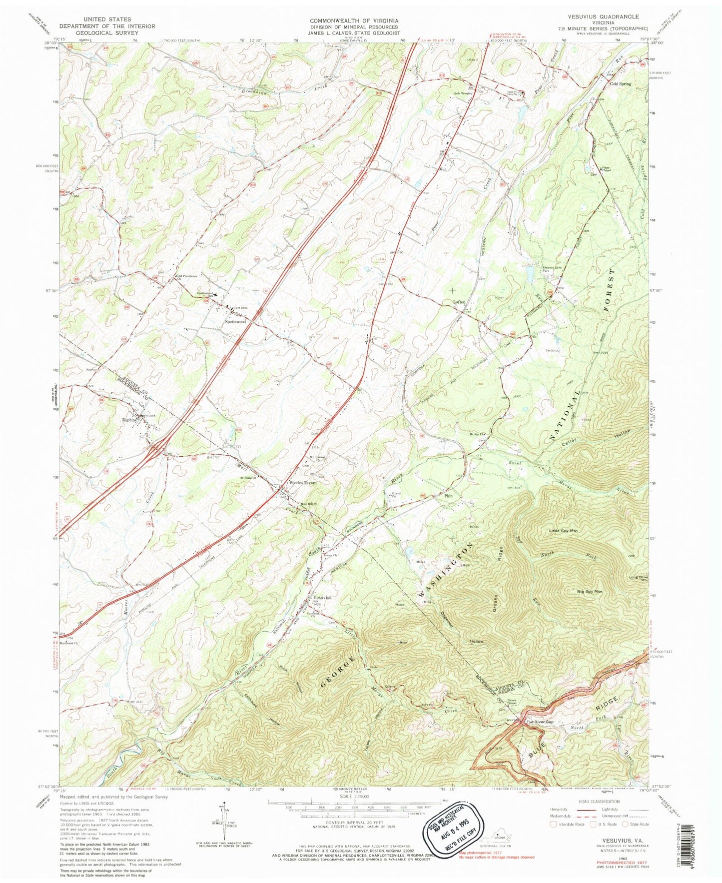
Classic USGS Vesuvius Virginia 7.5'x7.5' Topo Map
Couldn't load pickup availability
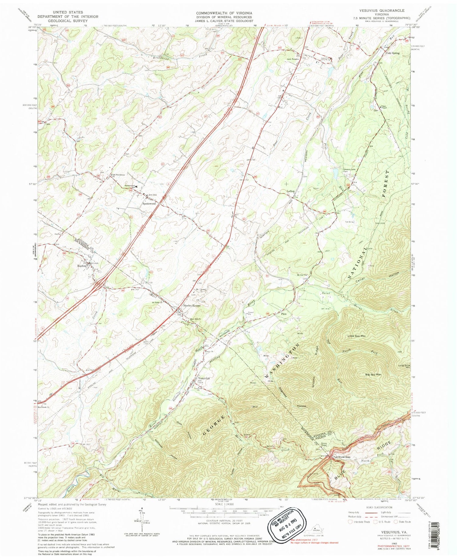
Historical USGS topographic quad map of Vesuvius in the state of Virginia. Map scale may vary for some years, but is generally around 1:24,000. Print size is approximately 24" x 27"
This quadrangle is in the following counties: Augusta, Nelson, Rockbridge.
The map contains contour lines, roads, rivers, towns, and lakes. Printed on high-quality waterproof paper with UV fade-resistant inks, and shipped rolled.
Contains the following named places: Aggies Mountain, Anders Pond Dam, Big Marys Creek, Big Spy Mountain, Brook Hill Farm Airport, Cellar Hollow, Cold Spring, Cold Springs Correctional Unit 10, Dogwood Hollow, Donald Mountain, Dutch Hollow Church, Emory Church, Glenn Falls, Gods Temple, Groahs Ridge, Haines Chapel, Haines Chapel Cemetery, Kiwanis Lake, Kiwanis Lake Park, Koogler Dam, Little Marys Creek, Little Spy Mountain, Lofton, Marl Creek, Marl Hill Church, Marlbrook Church, Moores Creek, Mount Carmel Church, Mount Joy Church, Narrow Passage School, North Fork Spy Run, Old Providence Church, Pines Chapel, Pkin, Raphine, Raphine Post Office, Raphine Volunteer Fire Department, Rock Hollow, Saint Marys River, Saint Pauls Church, South River Number Four Dam, South River Number Three Dam, Spottswood, Spottswood School, Spy Run, State Prison Camp Number 10, Steeles Tavern, Steels Tavern Post Office, Stillhouse Hollow, Stony Hill Cemetery, Turkey Hollow, Tye River Gap, Tye River Gap Recreational Area, Vesuvius, Vesuvius Church, Vesuvius Post Office, Wilkie, Willow Lake, ZIP Codes: 24440, 24472, 24476


