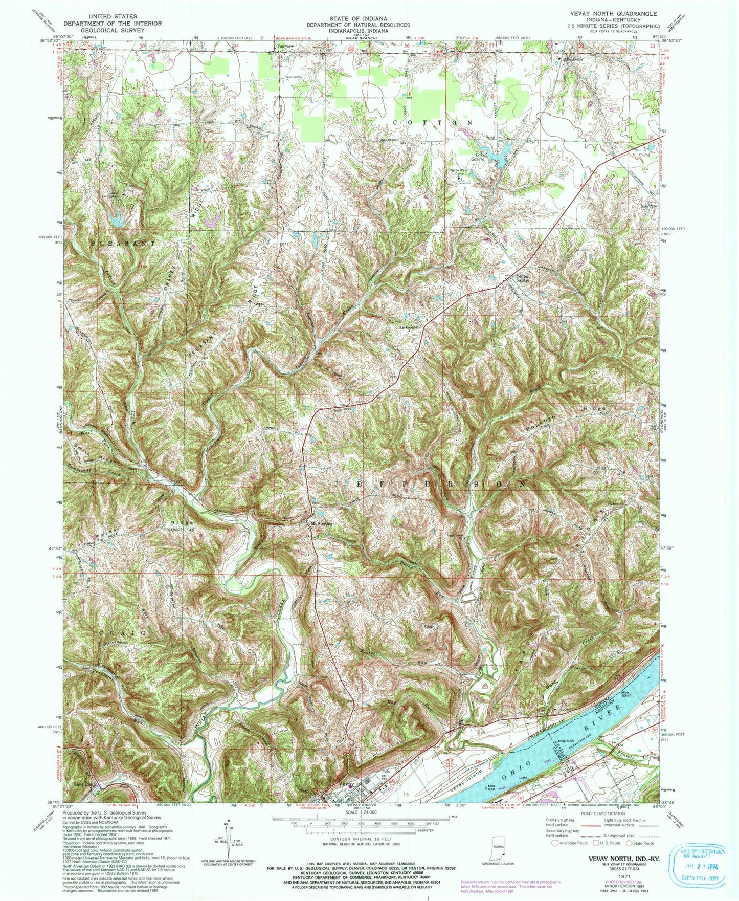
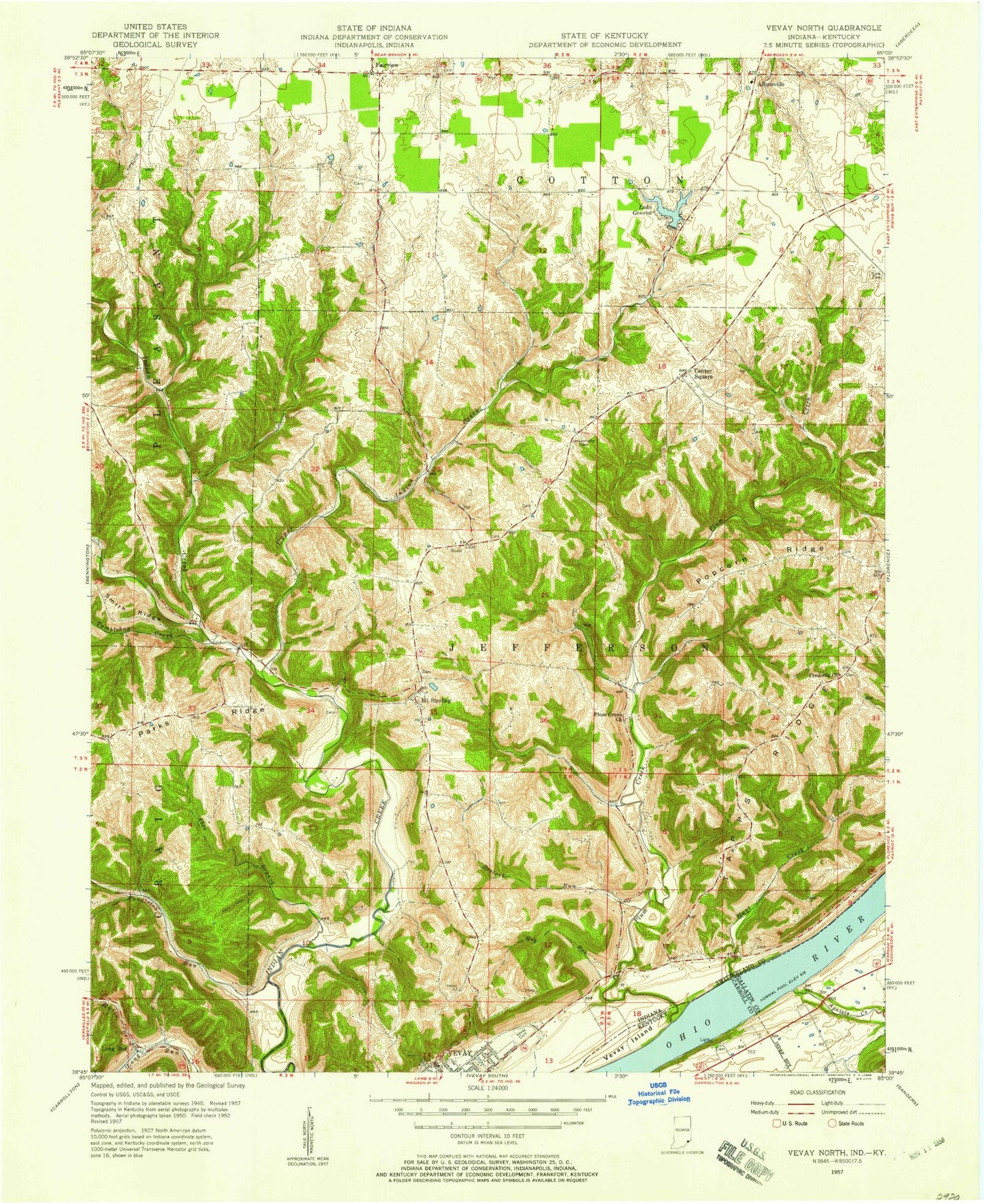
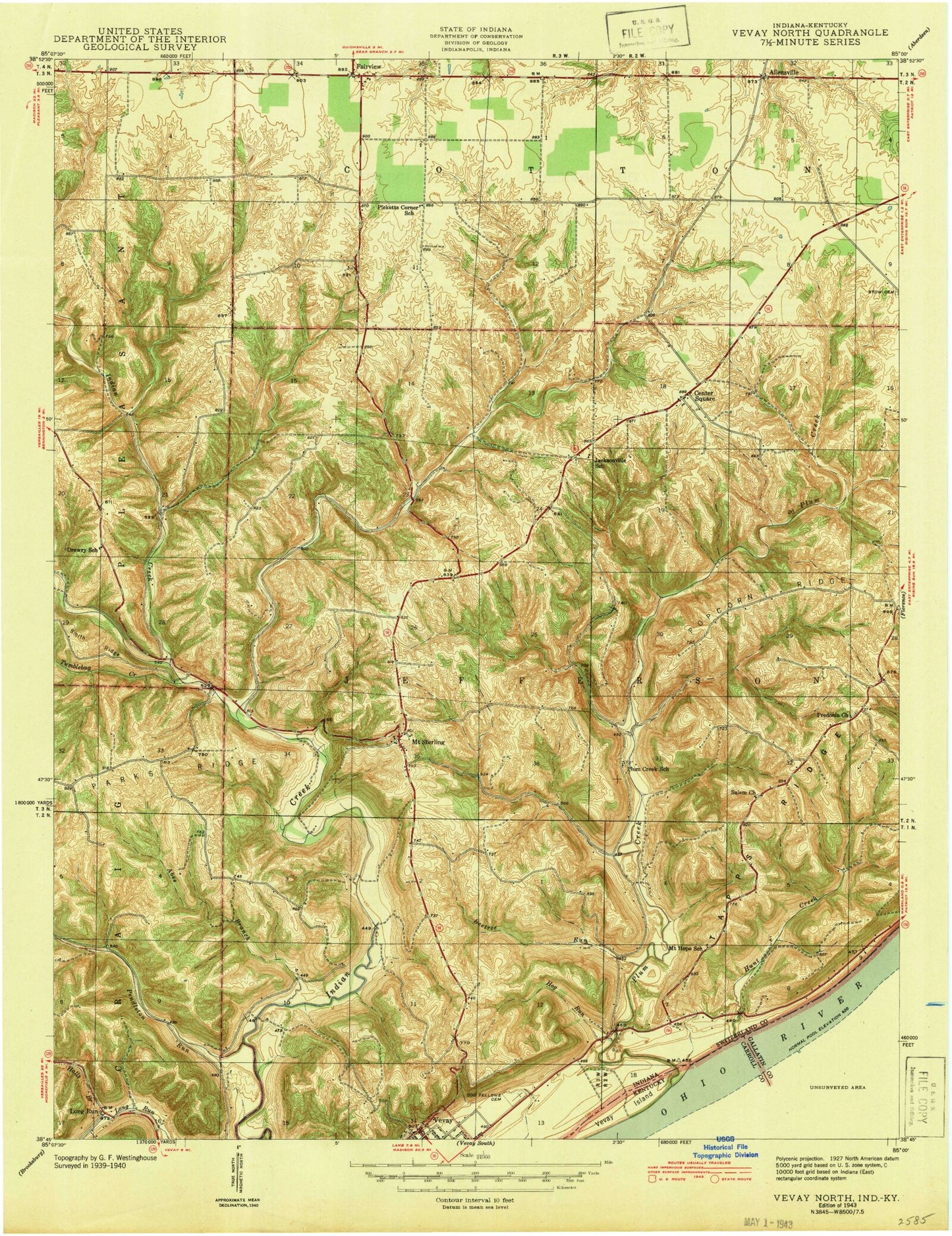
MyTopo
Classic USGS Vevay North Indiana 7.5'x7.5' Topo Map
Couldn't load pickup availability
Historical USGS topographic quad map of Vevay North in the states of Indiana, Kentucky. Map scale may vary for some years, but is generally around 1:24,000. Print size is approximately 24" x 27"
This quadrangle is in the following counties: Carroll, Gallatin, Switzerland.
The map contains contour lines, roads, rivers, towns, and lakes. Printed on high-quality waterproof paper with UV fade-resistant inks, and shipped rolled.
Contains the following named places: Abes Branch, Agniels Creek, Allensville, Beetree Run, Blanton Cemetery, Broad Run, Camp Livingston, Camp Livingston Lake, Camp Livingston Lake Dam, Center Square, Drakes Ridge, Edwin Pray Lake, Edwin Pray Lake Dam, Fairview, Fredonia Church, Halls Branch, Hog Run, Hunt Creek, Jacksonville, Jeff - Craig Township Fire Department, Kentucky Utilities Power Plant, Lake Geneva, Lake Geneva Dam, Long Run, Mount Sterling, Parks Ridge, Pendleton Run, Pleasant Ridge, Plum Creek, Plum Creek Church, Popcorn Ridge, Roberts Airport, Stow Cemetery, Switzerland County, Switzerland County Elementary School, Switzerland County Emergency Response Service, Tapps Ridge, Township of Cotton, Township of Jefferson, Tumblebug Creek, Upper Indian Creek, Vevay Cemetery, Vevay Island, WAVV-FM (Vevay), West Fork Indian Creek, White Water Camp, ZIP Code: 47043