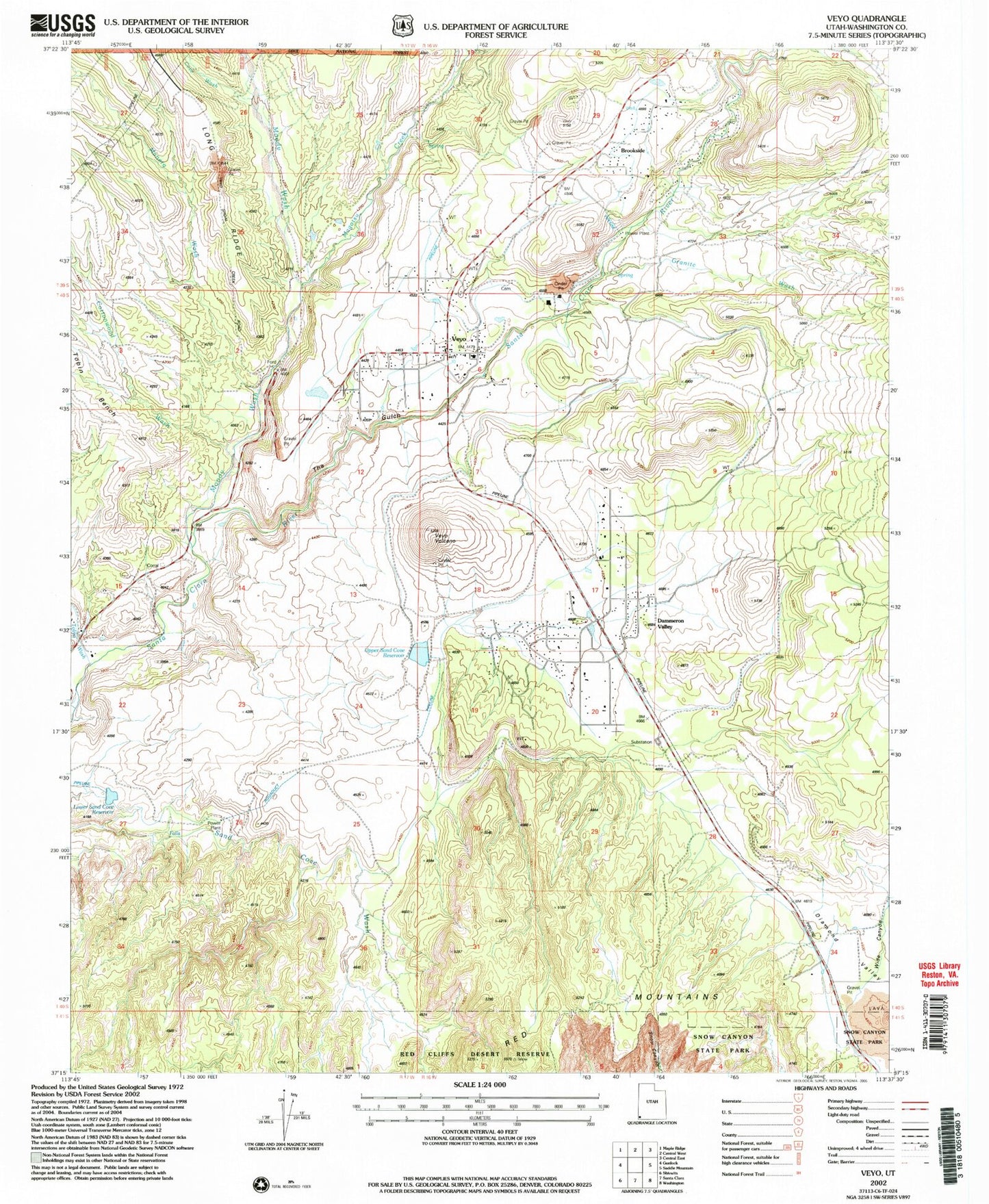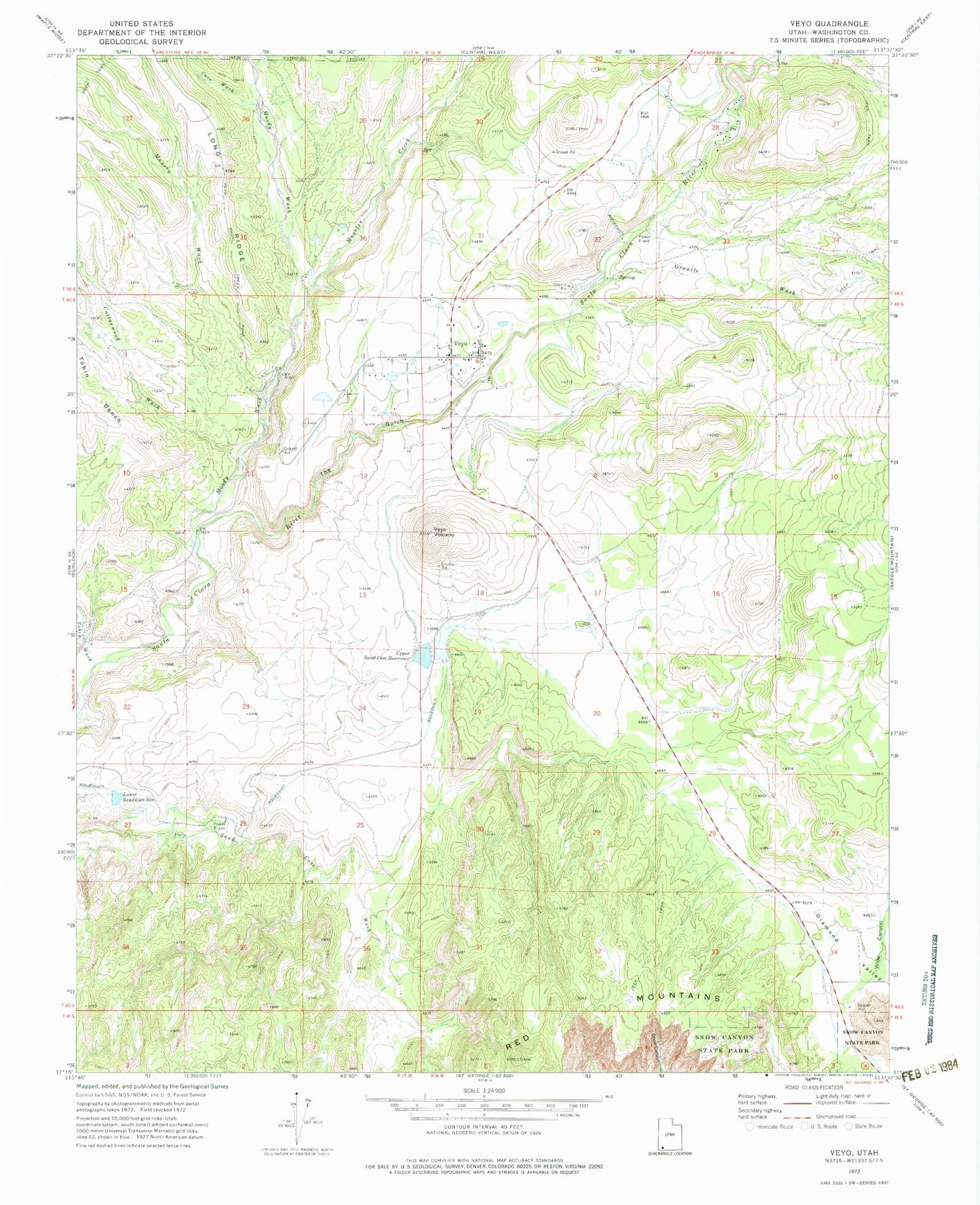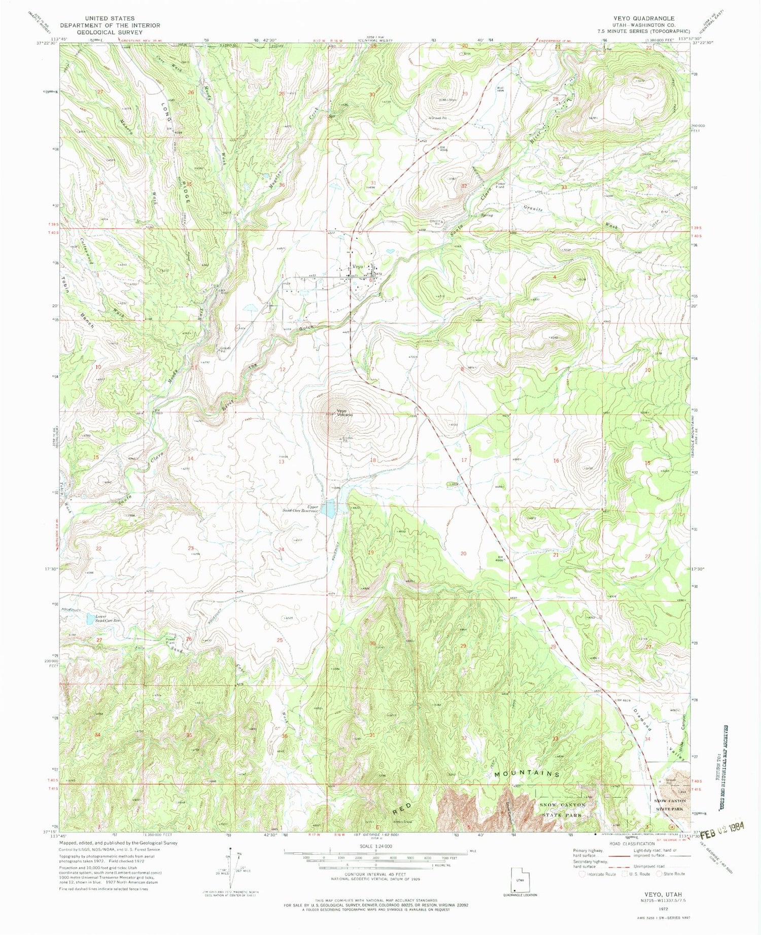
MyTopo
Classic USGS Veyo Utah 7.5'x7.5' Topo Map
Couldn't load pickup availability
Historical USGS topographic quad map of Veyo in the state of Utah. Map scale may vary for some years, but is generally around 1:24,000. Print size is approximately 24" x 27"
This quadrangle is in the following counties: Washington.
The map contains contour lines, roads, rivers, towns, and lakes. Printed on high-quality waterproof paper with UV fade-resistant inks, and shipped rolled.
Contains the following named places: Cedar Spring Wash, Cottonwood Wash, Cove Wash, Dammeron Valley, Dammeron Valley Census Designated Place, Dammeron Valley Volunteer Fire Department, Granite Wash, Lower Sand Cove Dam, Lower Sand Cove Reservoir, Magotsu Creek, Manera Wash, Moody Wash, Northwestern Special Service Fire District Brookside Station, Snow Canyon State Park, The Church of Jesus Christ of Latter Day Saints, The Gulch, Tobin Wash, Upper Sand Cove Dam, Upper Sand Cove Reservoir, Veyo, Veyo Cemetery, Veyo Census Designated Place, Veyo Fire Station - Northwestern Special Service Fire District, Veyo Post Office, Veyo Volcano, Wide Canyon, ZIP Code: 84782