MyTopo
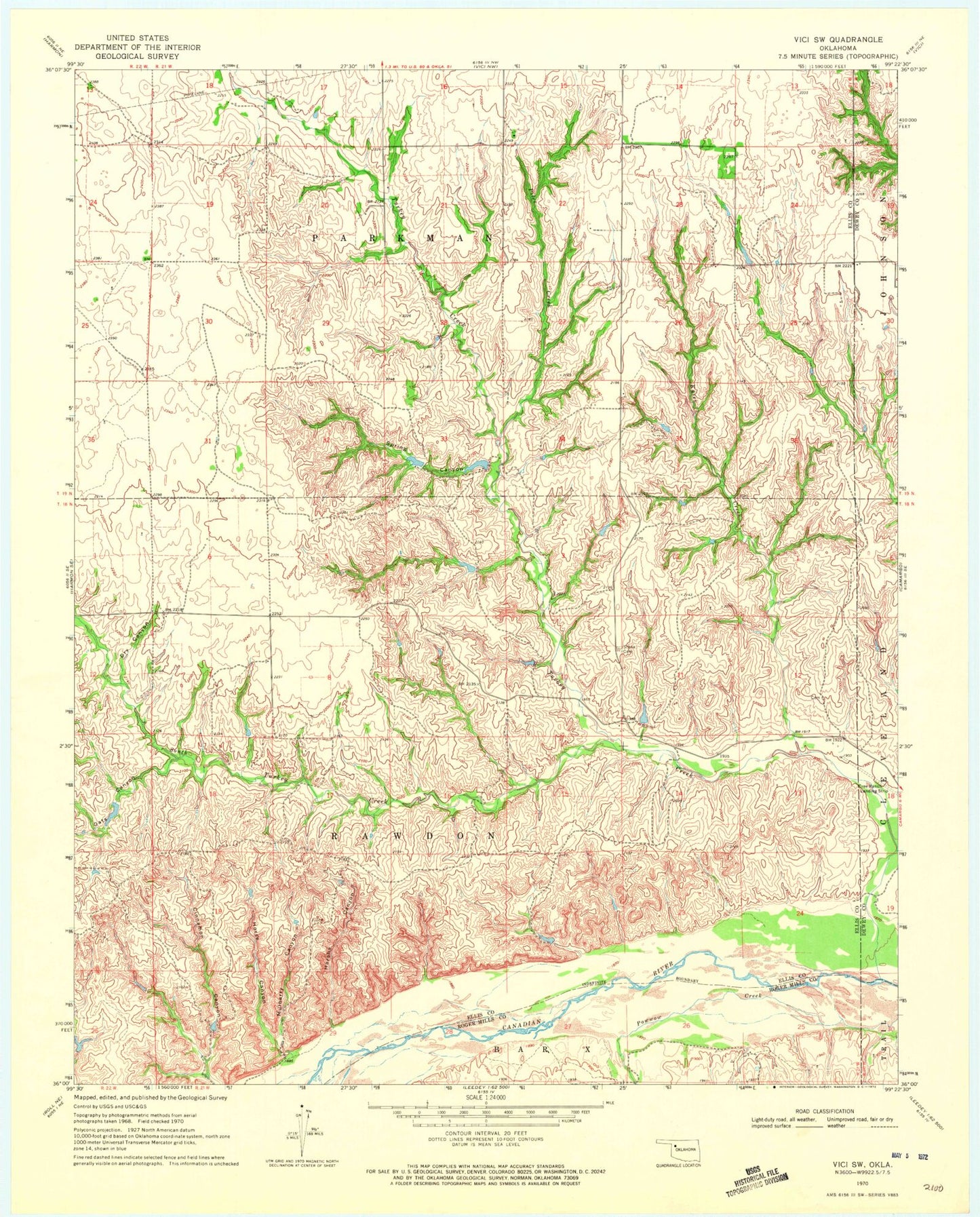
Classic USGS Vici SW Oklahoma 7.5'x7.5' Topo Map
Couldn't load pickup availability
Historical USGS topographic quad map of Vici SW in the state of Oklahoma. Map scale may vary for some years, but is generally around 1:24,000. Print size is approximately 24" x 27"
This quadrangle is in the following counties: Dewey, Ellis, Roger Mills.
The map contains contour lines, roads, rivers, towns, and lakes. Printed on high-quality waterproof paper with UV fade-resistant inks, and shipped rolled.
Contains the following named places: Cinnamon Canyon, Dry Canyon, Harsha Canyon, Horse Canyon, Hutchison Number 1 Dam, Hutchison Number 1 Reservoir, Hutchison Number 2 Dam, Hutchison Number 2 Reservoir, Hutchison Number 5 Dam, Hutchison Number 5 Reservoir, Kyser Creek, Mulberry Canyon, Oats Canyon, Piles Creek, South Turkey Creek, Spring Canyon, Stone Cemetery, Township of Parkman, Turkey Creek