MyTopo
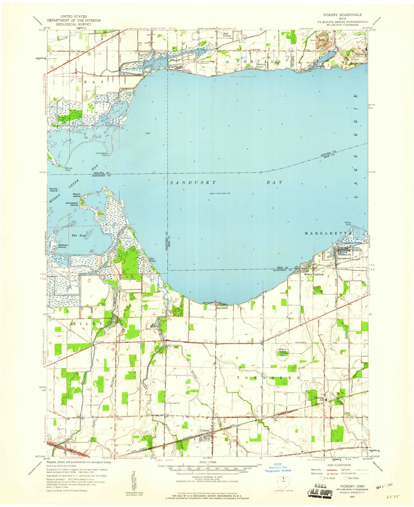
Classic USGS Vickery Ohio 7.5'x7.5' Topo Map
Couldn't load pickup availability
Historical USGS topographic quad map of Vickery in the state of Ohio. Map scale may vary for some years, but is generally around 1:24,000. Print size is approximately 24" x 27"
This quadrangle is in the following counties: Erie, Ottawa, Sandusky.
The map contains contour lines, roads, rivers, towns, and lakes. Printed on high-quality waterproof paper with UV fade-resistant inks, and shipped rolled.
Contains the following named places: Bay Harbor Marina, Bay View, Bayshore, Blue Heron Reserve, Boggy Bottoms Airport, Canvasback Point, Cape Island, Eagle Island, Edgewater Estates, Fuller Creek, Good Shepherd Lutheran Church, Graveyard Island, Gypsum, Gypsum Tabernacle, Hickory Grove, Hickory Island, Little Pickerel Creek, Little Raccoon Creek, McCreary Farm Cemetery, Meggitt Farms, Miller Blue Hole Wildlife Area, Millers Spring, Negro Island, Ohio Agricultural Experimental Station, Peach Island, Pickerel Creek, Pickerel Creek Wildlife Area, Raccoon Creek, Riley Grange, Scherz Ditch, South Creek, Springbrook, Squaw Island, Strong Creek, Sunset Harbor, The Bogs, Townsend School, Townsend Township Volunteer Fire Department, Township of Townsend, Vickery, Vickery Census Designated Place, Vickery Post Office, Warner Airstrip, Whites Landing, Whites Landing Census Designated Place, Whitmore, Whitmore Post Office, Willow Point, Willow Point Marsh, Willow Point Wildlife Area, Winous Point, Winous Point Marsh, Winous Point Shooting Club, ZIP Code: 43464