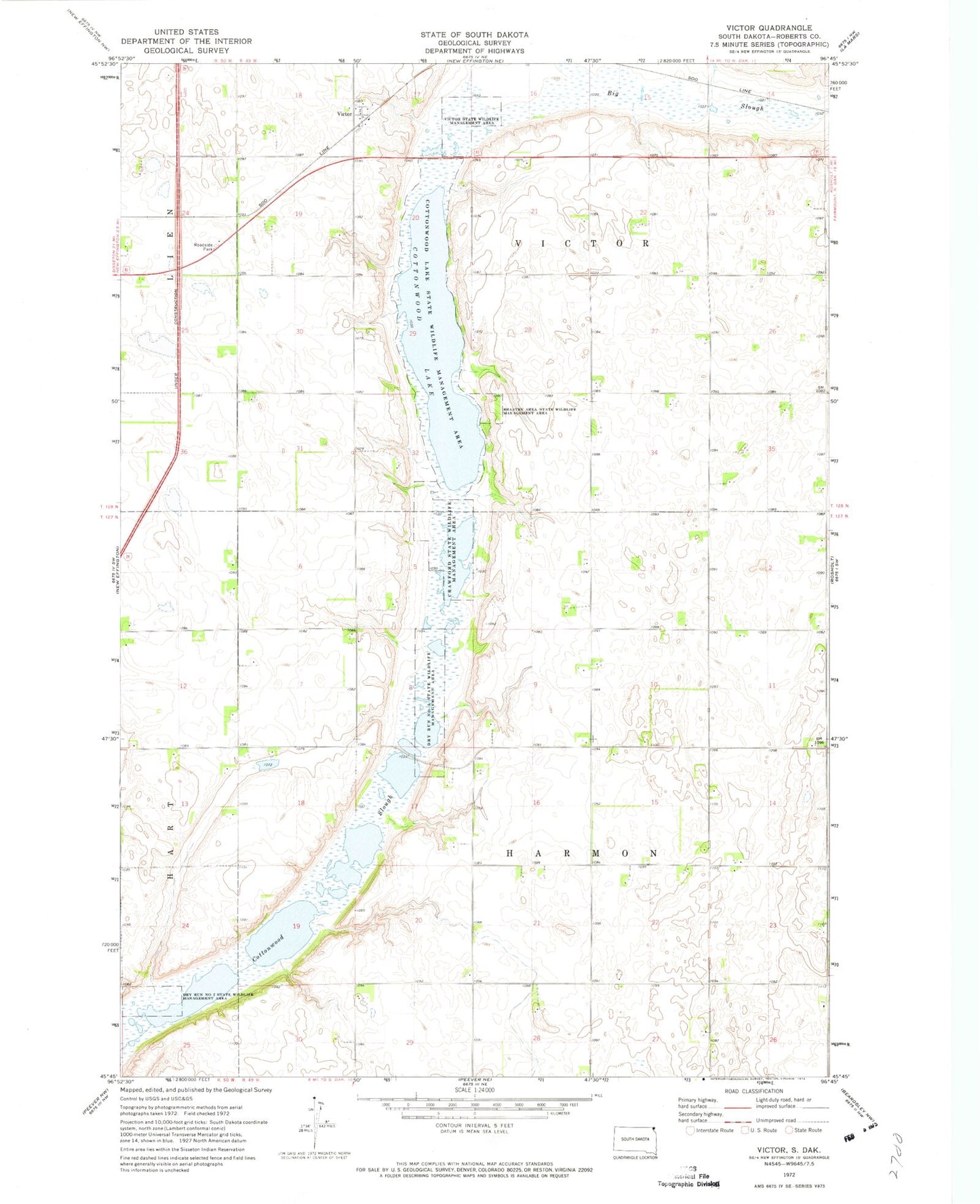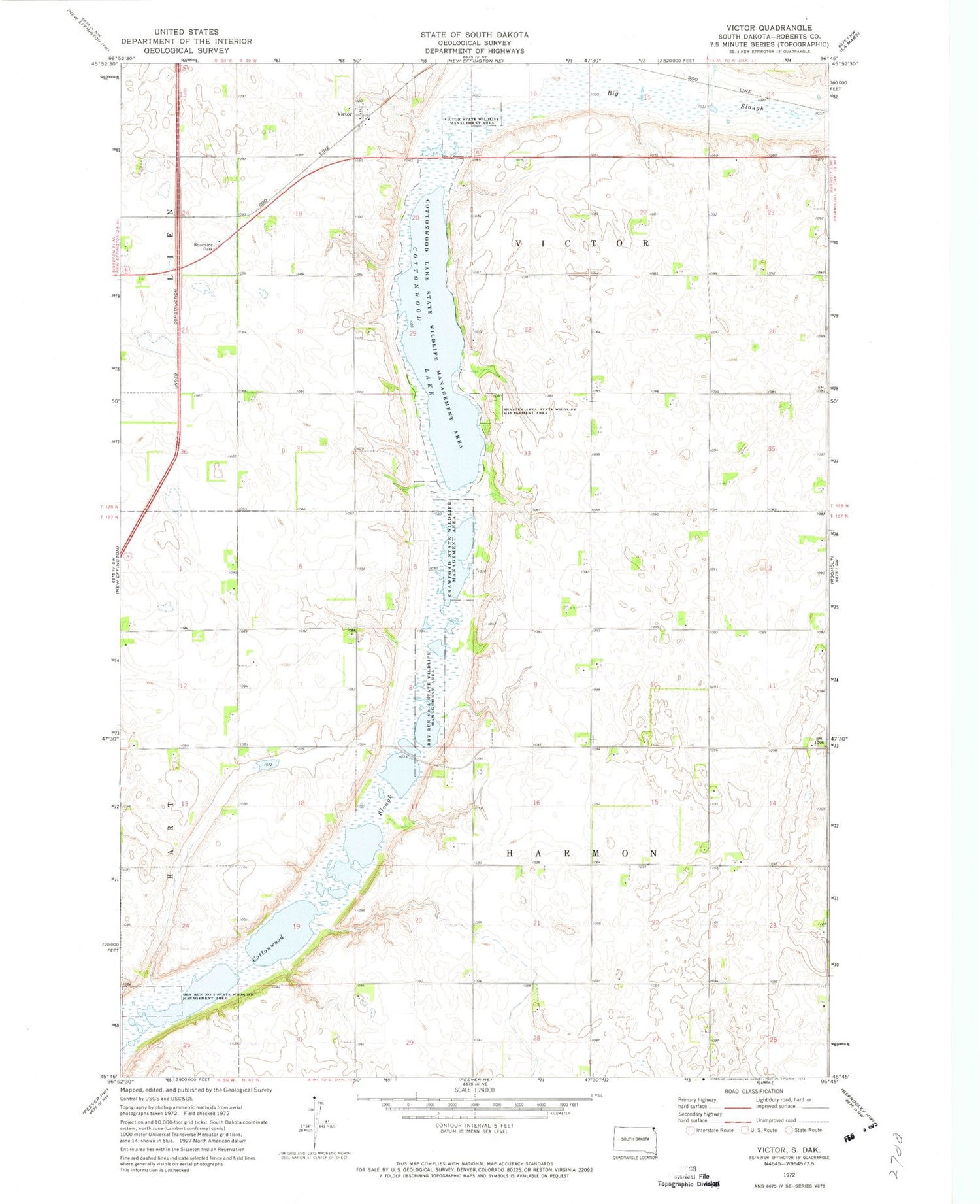
MyTopo
Classic USGS Victor South Dakota 7.5'x7.5' Topo Map
Couldn't load pickup availability
Historical USGS topographic quad map of Victor in the state of South Dakota. Map scale may vary for some years, but is generally around 1:24,000. Print size is approximately 24" x 27"
This quadrangle is in the following counties: Roberts.
The map contains contour lines, roads, rivers, towns, and lakes. Printed on high-quality waterproof paper with UV fade-resistant inks, and shipped rolled.
Contains the following named places: Bratten Area State Wildlife Management Area, Cottonwood Lake, Cottonwood Lake State Wildlife Management Area, Crawford, Crawford State Wildlife Management Area, Dry Run Number 2 State Wildlife Management Area, Dry Run Number 3 State Wildlife Management Area, School Number 1, School Number 4, School Number 8, Victor, Victor State Wildlife Management Area, Winans, Winans School