
MyTopo
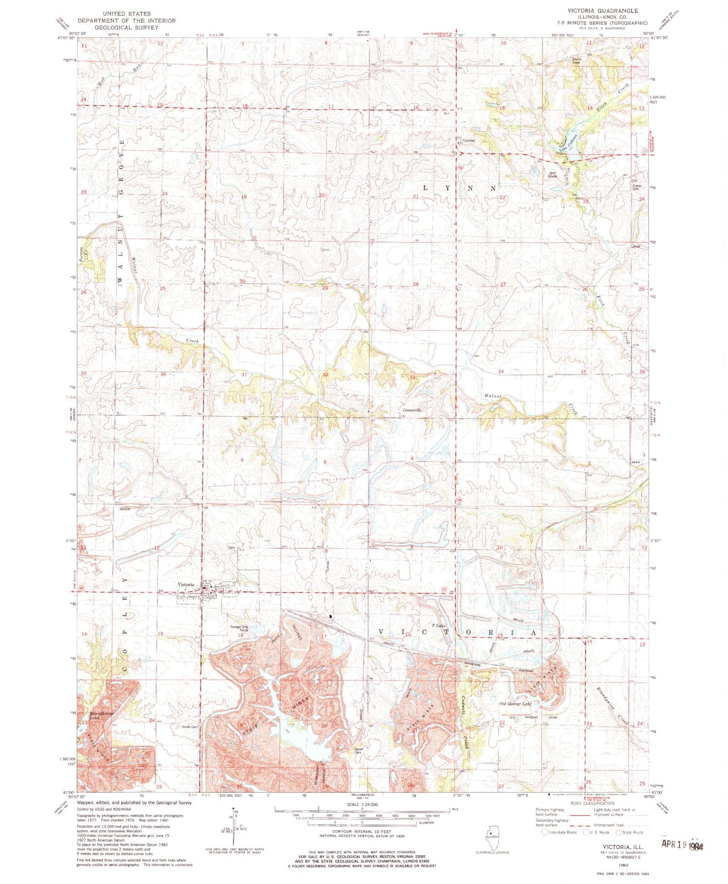
Classic USGS Victoria Illinois 7.5'x7.5' Topo Map
Couldn't load pickup availability
Historical USGS topographic quad map of Victoria in the state of Illinois. Map scale may vary for some years, but is generally around 1:24,000. Print size is approximately 24" x 27"
This quadrangle is in the following counties: Knox.
The map contains contour lines, roads, rivers, towns, and lakes. Printed on high-quality waterproof paper with UV fade-resistant inks, and shipped rolled.
Contains the following named places: Ale School, Browne School, Calhoun Lake Dam, Centerville, Chalman School, Collinson School, Fairview School, Forman Creek, Fraker Cemetery, Garret Cemetery, Gibbs School, Lake Calhoun, Number 16 School, Old Garage Lake, Smith Cemetery, Snakeden Hollow Lake, Snakeden Hollow State Fish and Wildlife Area, Sole School, T Lake, Township of Lynn, Township of Victoria, Union School, Victoria, Victoria - Copley Fire Protection District, Victoria Cemetery, Victoria Elementary School, Victoria Post Office, Village of Victoria, ZIP Code: 61485


