MyTopo
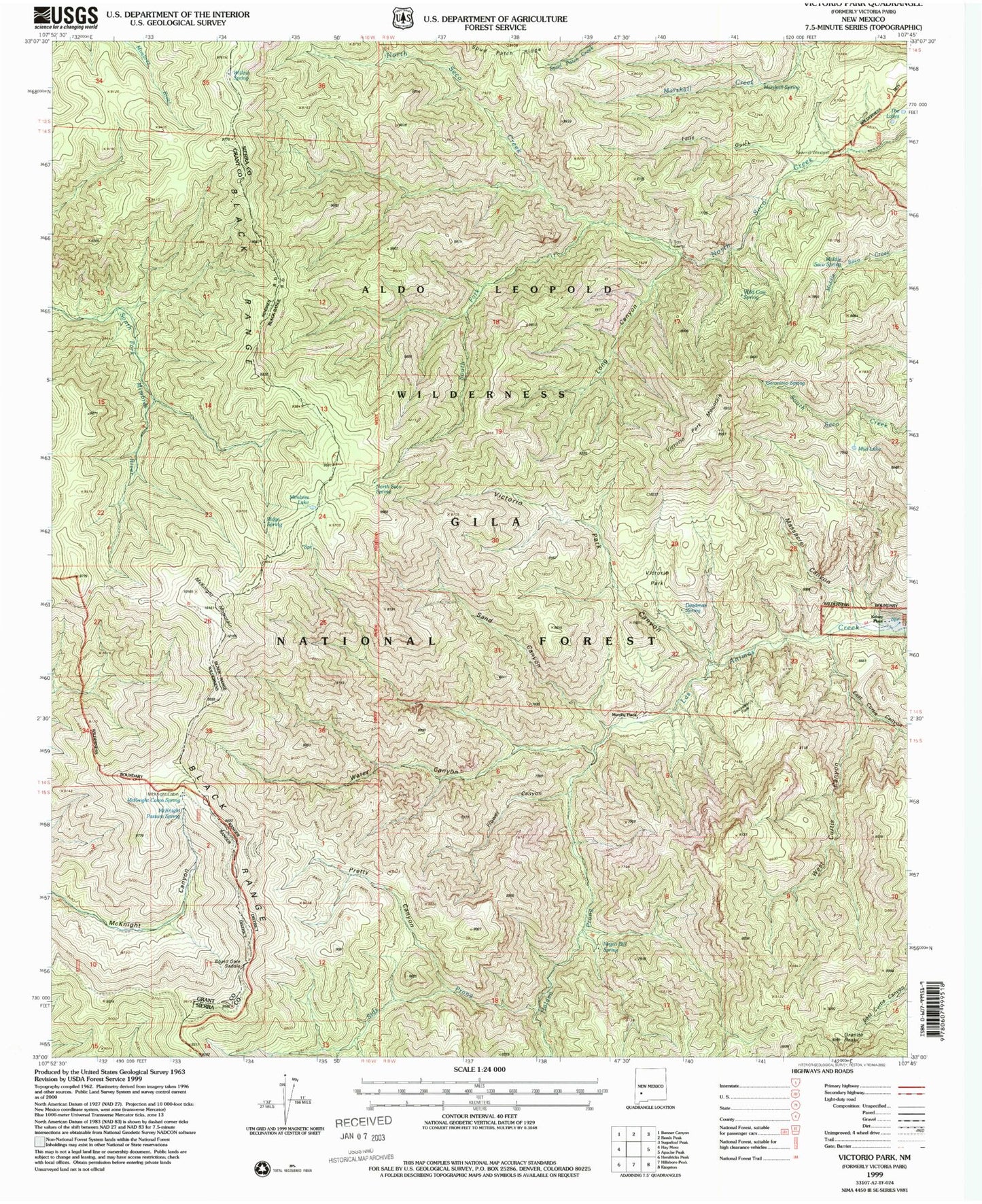
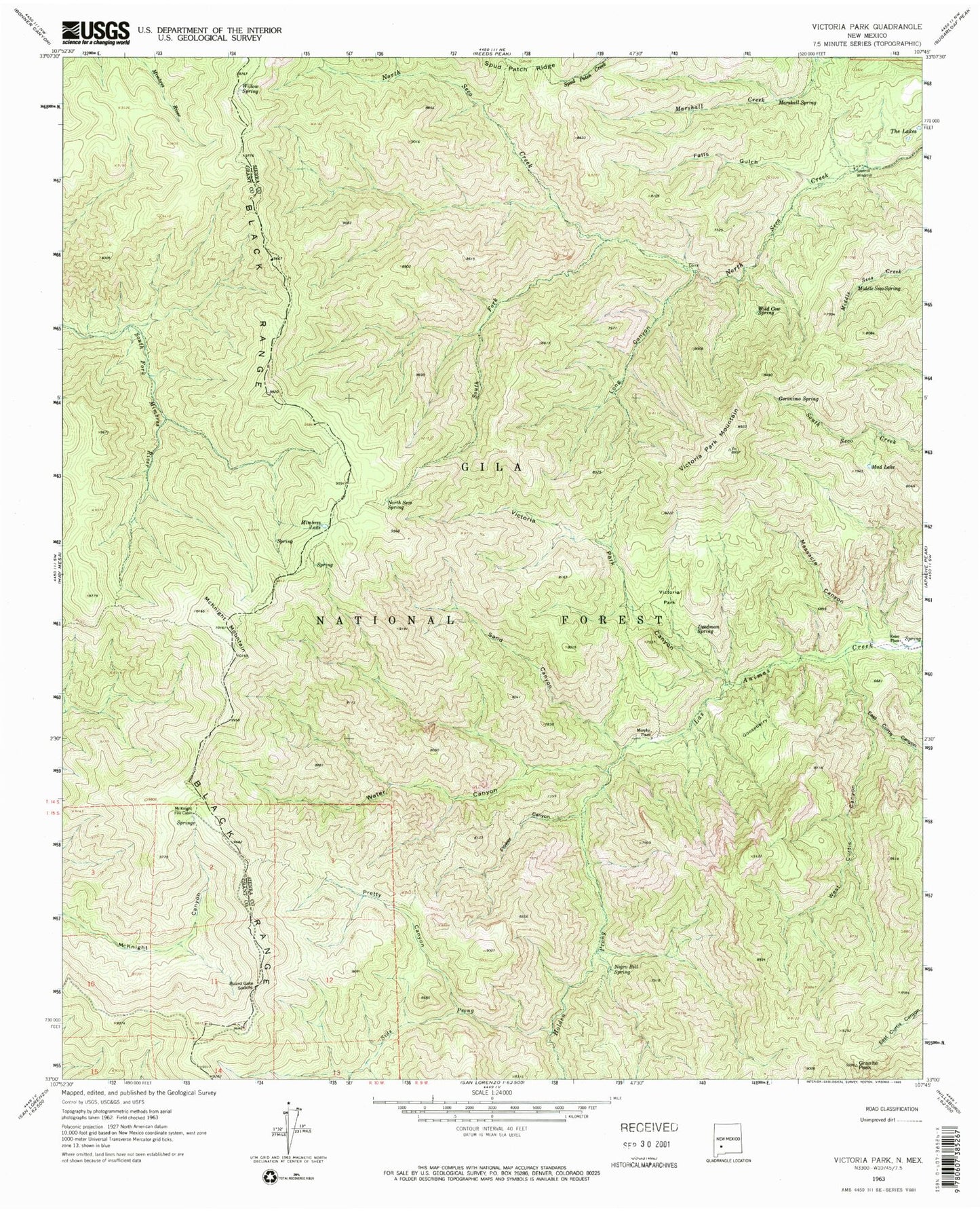
Classic USGS Victorio Park New Mexico 7.5'x7.5' Topo Map
Couldn't load pickup availability
Historical USGS topographic quad map of Victorio Park in the state of New Mexico. Typical map scale is 1:24,000, but may vary for certain years, if available. Print size: 24" x 27"
This quadrangle is in the following counties: Grant, Sierra.
The map contains contour lines, roads, rivers, towns, and lakes. Printed on high-quality waterproof paper with UV fade-resistant inks, and shipped rolled.
Contains the following named places: Gooseberry, Board Gate Saddle, Deadman Spring, East Curtis Canyon, Falls Gulch, Flower Canyon, Geronimo Spring, Granite Peak, Holden Prong, Kelsey Place, Long Canyon, Marshall Spring, Massacre Canyon, McKnight Fire Cabin, McKnight Mountain, Middle Seco Spring, Mimbres Lake, Mud Lake, Murphy Place, Negro Bill Spring, North Seco Spring, Pretty Canyon, Sand Canyon, Sawmill Windmill, Sids Prong, South Fork North Seco Creek, The Lakes, Water Canyon, West Curtis Canyon, Wild Cow Spring, Willow Spring, McKnight Pasture Spring, Ridge Spring, McKnight Cabin Spring, Victorio Park, Victorio Park Canyon, Victorio Park Mountain


