MyTopo
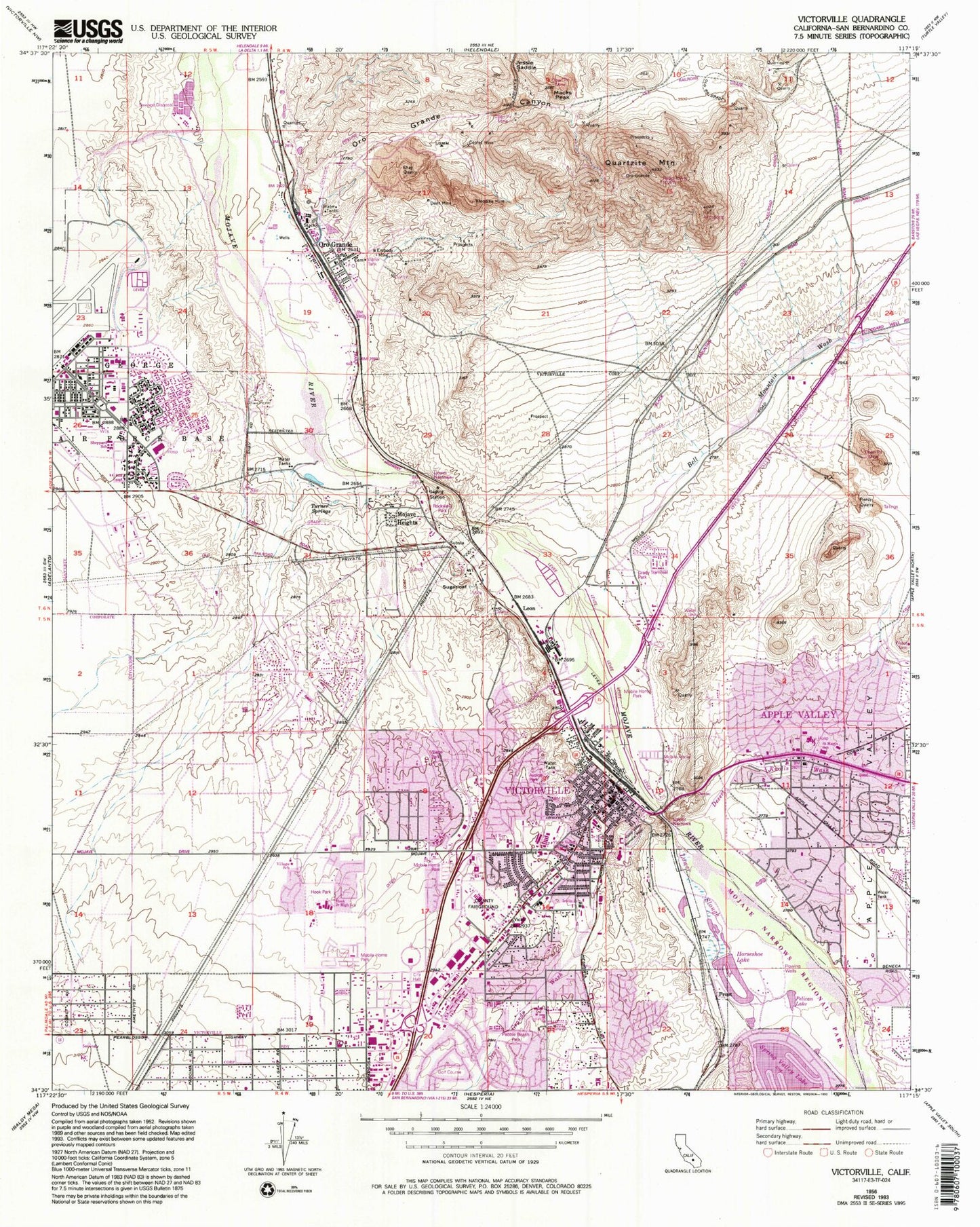
Classic USGS Victorville California 7.5'x7.5' Topo Map
Couldn't load pickup availability
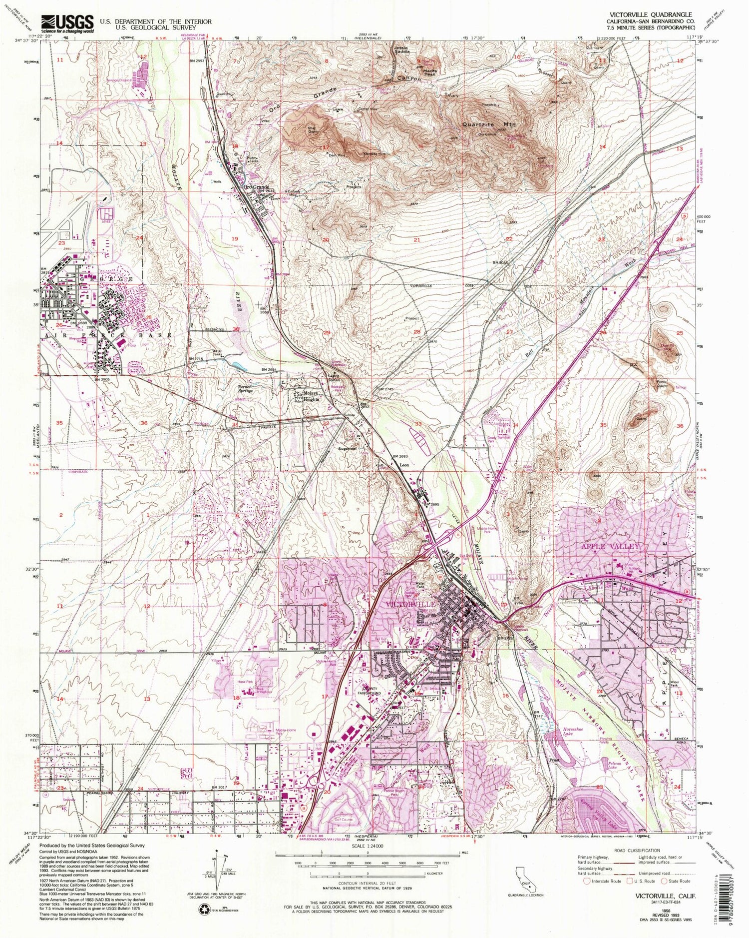
Historical USGS topographic quad map of Victorville in the state of California. Map scale may vary for some years, but is generally around 1:24,000. Print size is approximately 24" x 27"
This quadrangle is in the following counties: San Bernardino.
The map contains contour lines, roads, rivers, towns, and lakes. Printed on high-quality waterproof paper with UV fade-resistant inks, and shipped rolled.
Contains the following named places: American Medical Response Victorville, Apple Valley, Apple Valley Fire Protection District Station 332, Apple Valley Gun Club, Apple Valley Ridge, Avalon Park, Bell Mountain Wash, Bellevue Heights, Burkhardt Lake, California Highway Patrol Inland Division - Victorville, Center Street Park, Christian Covenant Church, Church of Religious Science, City of Victorville, Comet Mine, Congregation Bamidbar Shel Ma'alah, Corwin Road Park, Del Rey Elementary School, Dell School, Dent Mine, Desert Knolls, Desert Knolls Elementary School, Desert Knolls Wash, Desert Love Christian Center, Desert Valley Shopping Center, Eldridge Ridge, Embody Mine, Eva Dell High School, Eva Dell Park, Federal Correctional Institution Victorville Medium 1, Federal Correctional Institution Victorville Medium 2, First Missionary Baptist Church, Forrest Park, Frost, George Air Force Base Branch Victorville Post Office, George Air Force Base Elementary School, Golden Mesa, Goodwill High School, Grady Trammel Park, Green Tree Country Club, Greentree East, Harry R Sheppard Elementary School, Holy Faith Baptist Mission, Hook Park, Horseshoe Lake, Imogene Garner Hook Junior High School, Irwin Academy, Jessie Saddle, KATJ-FM (George), KCIN-AM (Victorville), Kemper Campbell Ranch, Klondike Mine, KVVQ-FM (Victorville), KVVT-TV (Barstow), Leon, Lower Narrows, Lower Slough, Macks Peak, Mojave Heights, Mountain View, Oro Grande, Oro Grande Canyon, Oro Grande Elementary School, Oro Grande Post Office, Oro Grande Wash, Osborne Airport, Pebble Beach Park, Pelican Lake, Piercy Quarry, Puesta Del Sol Elementary School, Quartzite Mountain, Rockview Park, Rodigues Cemetery, Roy Rogers-Dale Evans Museum, Sacred Heart Seminary, Saint Joan of Arc Catholic Church, Saint John Evangelical Lutheran Church, Saint Mary Coptic Orthodox Church, Saint Mary Desert Valley Hospital Heliport, Saint Mary Medical Center, Saint Marys School, San Bernardino County Fairgrounds, San Bernardino County Fire and Rescue Station 312 Victorville, San Bernardino County Fire and Rescue Station 319 Southern California Logistics Airport, San Bernardino County Fire and Rescue Station 37 Mountain View Acres, San Bernardino County Fire Department Station 311 Victorville Headquarters, Seventh Day Adventist Church of Green Tree, Seventh Day Adventist School, Shay Quarry, Sixth Street Prep School, Sugarloaf, The Church of Jesus Christ of Latter Day Saints, The Village, Turner Springs, United Pentecostal Church, Upper Narrows, Valley Center Shopping Center, Valley High North, Victor Christian School, Victor Plaza Shopping Center, Victor Valley Bible Church, Victor Valley Country Club, Victor Valley Global Medical Center, Victor Valley High School, Victor Valley Junior High School, Victor Valley Memorial Park, Victor Valley Shopping Center, Victor Valley Wastewater Reclamation Authority, Victorville, Victorville Activities Center, Victorville Branch San Bernardino County Library, Victorville Church of God in Christ, Victorville City Dump, Victorville Municipal Golf Course, Victorville Police Department, Village Elementary School, Village Park, Village School, West Wind Golf Course, ZIP Codes: 92394, 92395


