MyTopo
Classic USGS Vidal California 7.5'x7.5' Topo Map
Regular price
$16.95
Regular price
Sale price
$16.95
Unit price
per
Couldn't load pickup availability
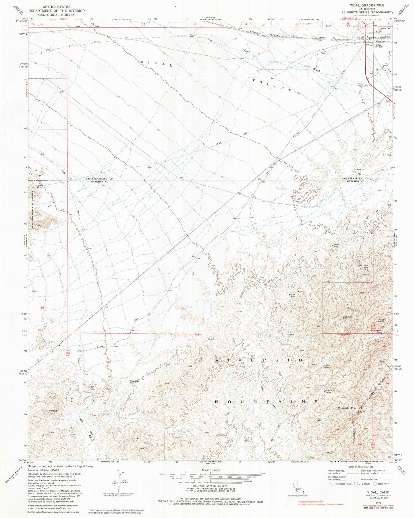
Historical USGS topographic quad map of Vidal in the state of California. Map scale may vary for some years, but is generally around 1:24,000. Print size is approximately 24" x 27"
This quadrangle is in the following counties: Riverside, San Bernardino.
The map contains contour lines, roads, rivers, towns, and lakes. Printed on high-quality waterproof paper with UV fade-resistant inks, and shipped rolled.
Contains the following named places: Alice Mine, Calzona Mine, Gold Dollar Mine, Gold Rice Mine, Holly Cemetery, Jacklin Mine, Jean Mine, Mountaineer Mine, Rattler Mine, Riverside Mountain, Riverside Mountains, Riverside Mountains Wilderness, Riverside Pass, Steece Mine, Stewart Mine, Vidal