MyTopo
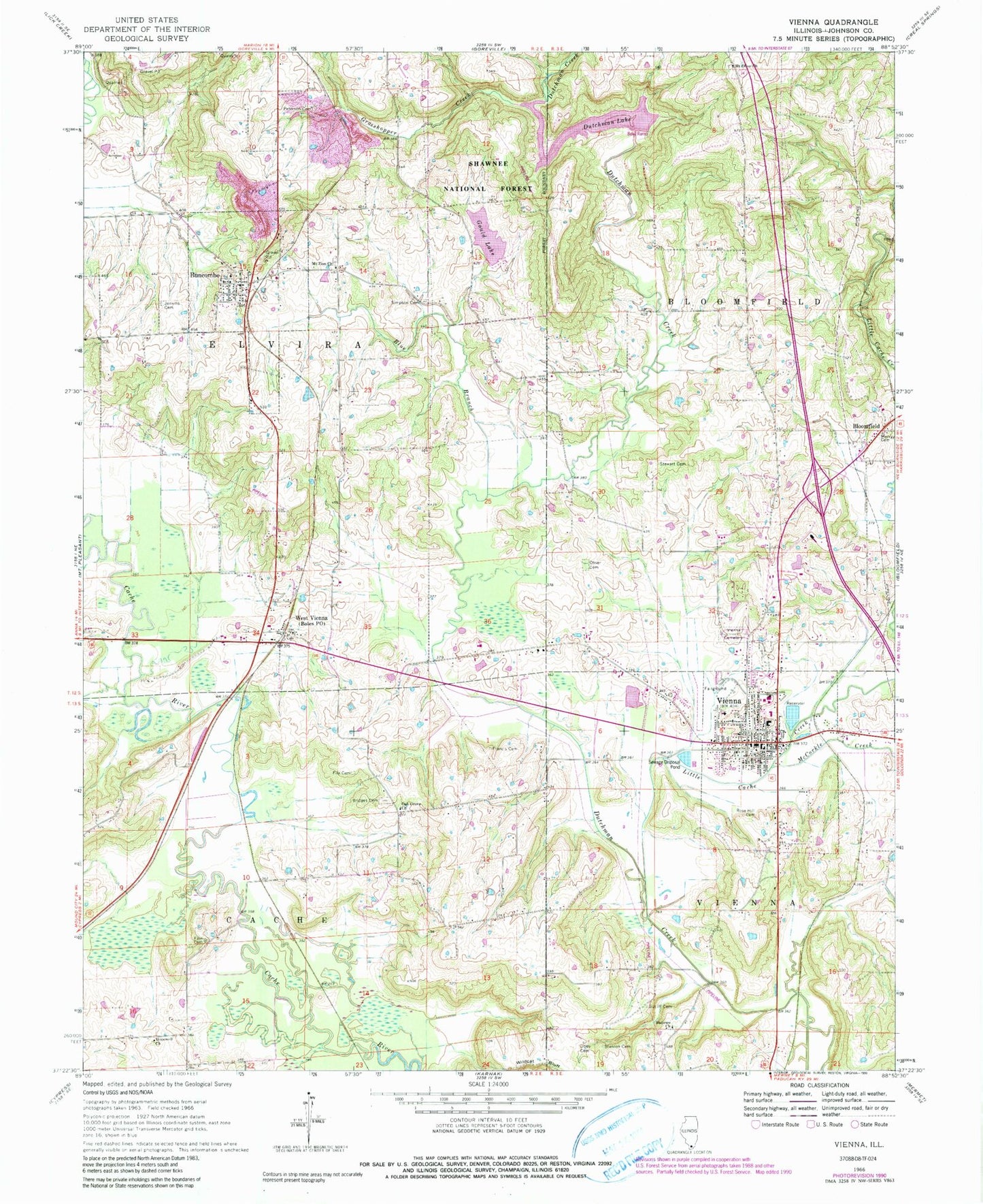
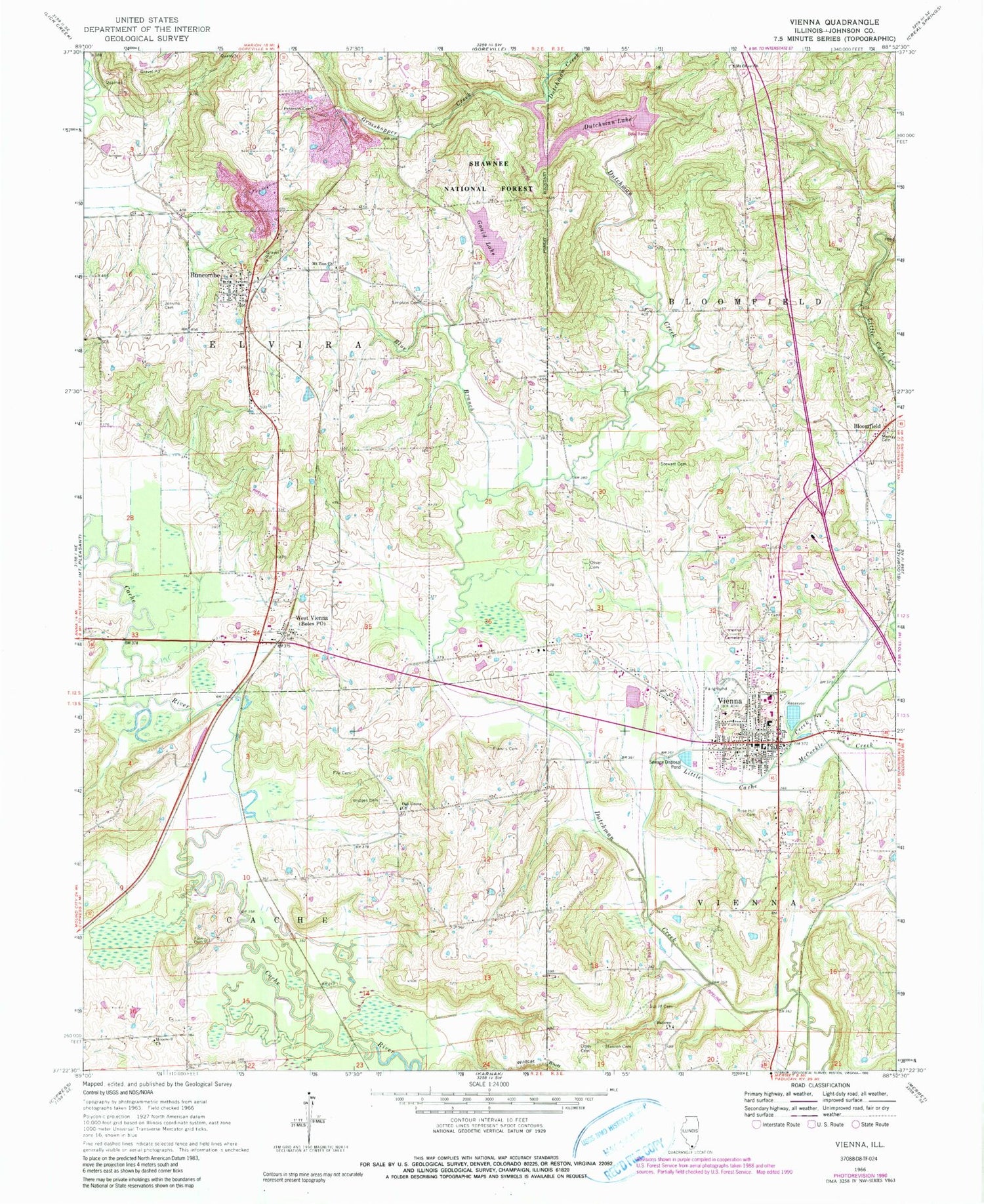
Classic USGS Vienna Illinois 7.5'x7.5' Topo Map
Couldn't load pickup availability
Historical USGS topographic quad map of Vienna in the state of Illinois. Map scale may vary for some years, but is generally around 1:24,000. Print size is approximately 24" x 27"
This quadrangle is in the following counties: Johnson.
The map contains contour lines, roads, rivers, towns, and lakes. Printed on high-quality waterproof paper with UV fade-resistant inks, and shipped rolled.
Contains the following named places: Ballowe Church, Ballowe School, Bender, Bloomfield, Blue Branch, Boles Post Office, Bridges Cemetery, Buncombe, Buncombe Consolidated School, Buncombe Methodist Church, Buncombe Post Office, Buncombe Volunteer Fire Department, Carnegie Library, Church of Christ, City of Vienna, Deer Pond Nature Preserve, Dutchman Lake, Elvira Election Precinct, Fain Cemetery, File Cemetery, First Baptist Church, First Christian Church, Francis Cemetery, Gould Lake, Grasshoppers Creek, Hollins Spur, Hopewell Church, Jenkins Cemetery, Johnson County, Johnson County Ambulance Service, Johnson County Courthouse, Johnson County Sheriff's Office, Little Cache Creek, Little Cache Structure Number 12 Dam, McCorkle Creek, Morray Cemetery, Mount Olive Church, Mount Olive School, Mount Zion Cemetery, Mount Zion Missionary Baptist Church, Oak Grove Church, Oak Grove School, Oliver Cemetery, Oliver School, Peterson Cemetery, Rose Hill Cemetery, School Number 9, Simpson Cemetery, Smith School, Stanton Cemetery, Stewart Cemetery, Stringtown, Sutliff Cemetery, Tall Tree Lake, Tall Tree Lake Dam, Tall Tree School, Township of Elvira, United Methodist Church of Vienna, Utley Cemetery, Veach School, Vienna, Vienna Elementary School, Vienna Fire Department, Vienna Fraternal Cemetery, Vienna High School, Vienna Number 1 Election Precinct, Vienna Number 3 Election Precinct, Vienna Post Office, Vienna Reservoir, Vienna Reservoir Dam, Village of Buncombe, West Vienna, Wise School, ZIP Code: 62995


