MyTopo
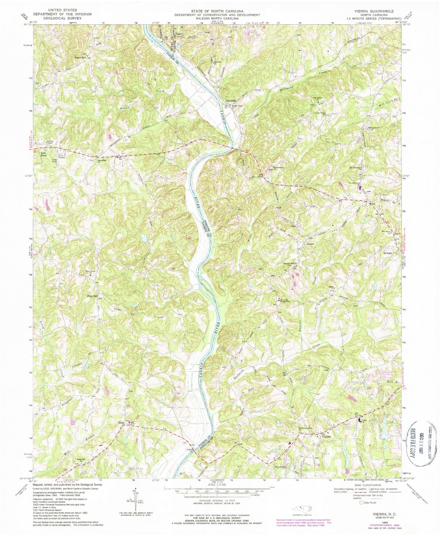
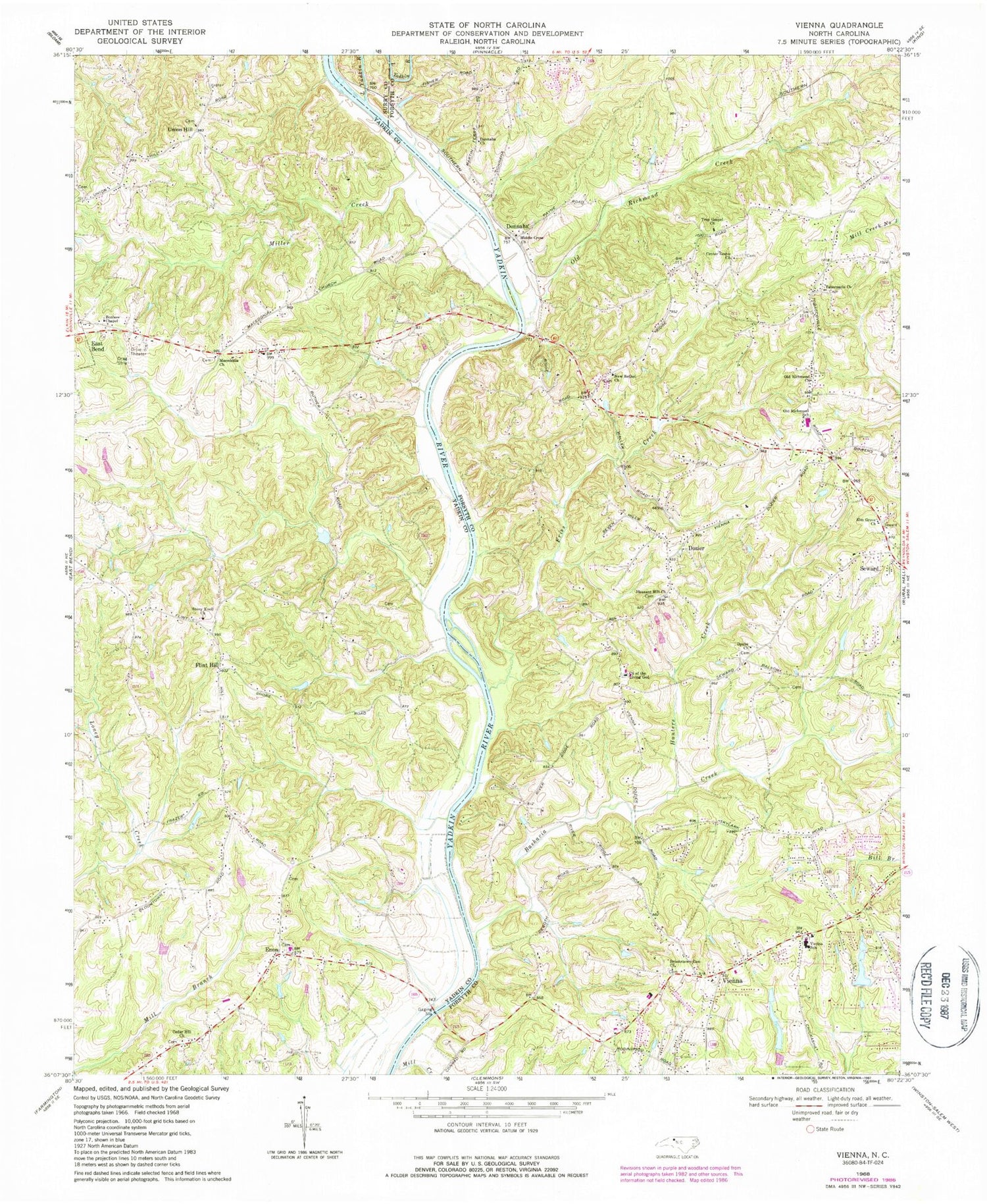
Classic USGS Vienna North Carolina 7.5'x7.5' Topo Map
Couldn't load pickup availability
Historical USGS topographic quad map of Vienna in the state of North Carolina. Map scale may vary for some years, but is generally around 1:24,000. Print size is approximately 24" x 27"
This quadrangle is in the following counties: Forsyth, Surry, Yadkin.
The map contains contour lines, roads, rivers, towns, and lakes. Printed on high-quality waterproof paper with UV fade-resistant inks, and shipped rolled.
Contains the following named places: All Faith Mission, Alsups Pond, Alsups Pond Dam, Bashavia Creek, Benbow Chapel African Methodist Episcopal Zion Church, Bennetts Lake, Bennetts Lake Dam, Brookstown-Zion Church, Cedar Hill African Methodist Episcopal Zion Church, Center Grove Church, Chestnut Ridge School, Church of the Living God, Donnaha, Donnaha Church, Dorchester, Doubs Church, Dozier, East Bend Post Office, Elm Grove Church, Enon, Enon Baptist Church, Enon Baptist Church Cemetery, Flint Hill, Fries Creek, Heritage Village, Hunters Creek, Hunters Trace, Little Yadkin River, Macedonia, Macedonia Cemetery, Macedonia Methodist Church, Middle Cross Church, Mill Brook, Mill Creek, Miller Creek, New Bethel Church, Oak Park, Old Richmond Church, Old Richmond Creek, Old Richmond Elementary School, Old Richmond Fire and Rescue Station 27, Parrish Lake, Parrish Lake Dam, Pleasant Hill Church, River Ridge Run, Robin Hood Trace, Sherwood Forest, Soloman Lake, Soloman Lake Dam, Stony Knoll Cemetery, Stony Knoll Methodist Church, Tabernacle Church, The Meadows, Township of Old Richmond, Township of Vienna, Trading Post Lake, Trading Post Lake Dam, True Gospel Church, Union Hill, Union Hill Cemetery, Vienna, Vienna Elementary School, Vienna Forest, Vienna Volunteer Fire Department, Voglers Lake, Voglers Lake Dam, Yadkin Valley Mill, ZIP Codes: 27040, 27050


