MyTopo
Classic USGS Vigus Butte NE Nevada 7.5'x7.5' Topo Map
Regular price
$16.95
Regular price
Sale price
$16.95
Unit price
per
Couldn't load pickup availability
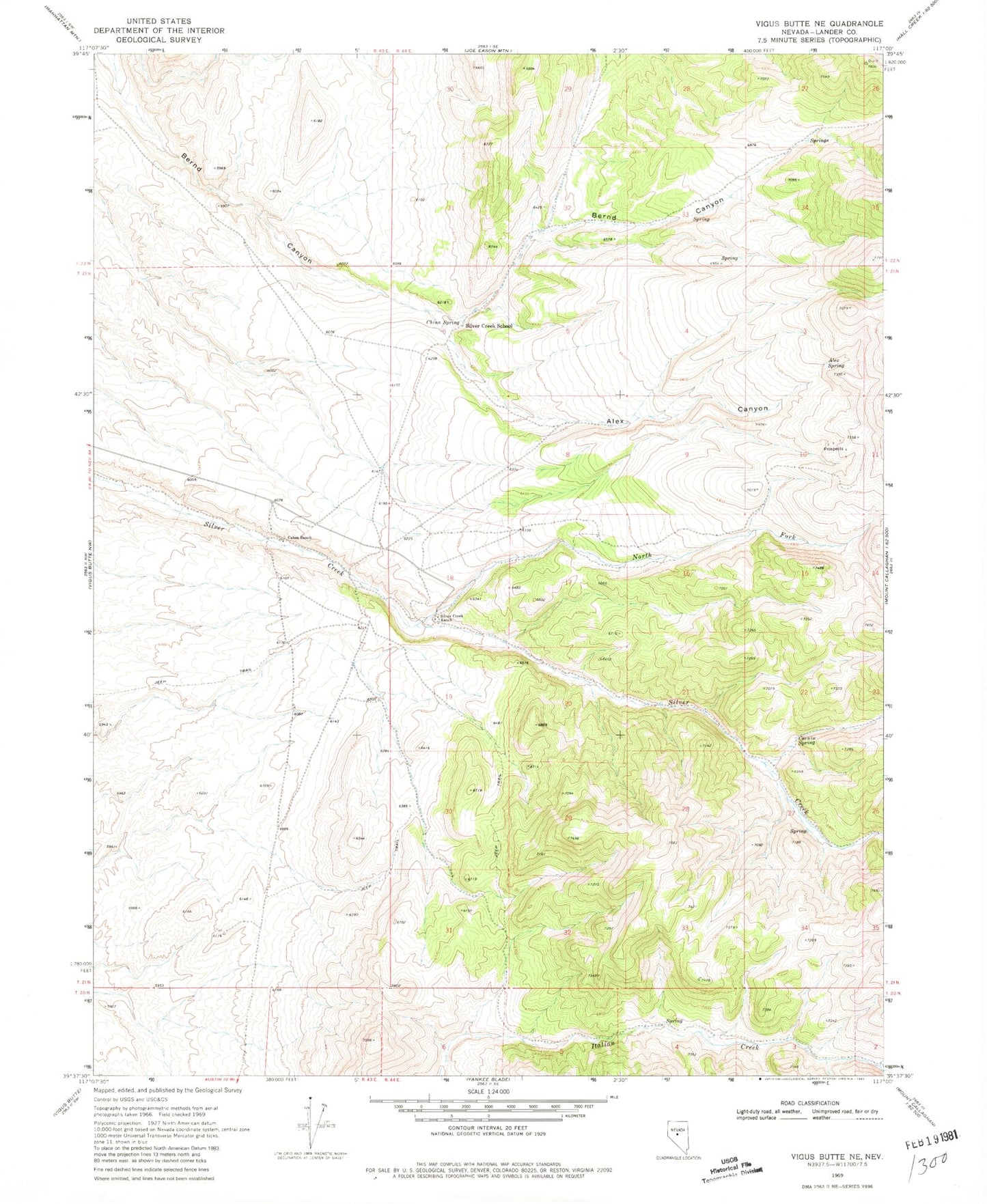
Historical USGS topographic quad map of Vigus Butte NE in the state of Nevada. Map scale may vary for some years, but is generally around 1:24,000. Print size is approximately 24" x 27"
This quadrangle is in the following counties: Lander.
The map contains contour lines, roads, rivers, towns, and lakes. Printed on high-quality waterproof paper with UV fade-resistant inks, and shipped rolled.
Contains the following named places: Alex Canyon, Alex Spring, Austin Division, Austin Township, Caton Ranch, China Spring, Cornin Spring, North Fork Italian Creek, North Fork Silver Creek, Silver Creek Ranch, Silver Creek School