MyTopo
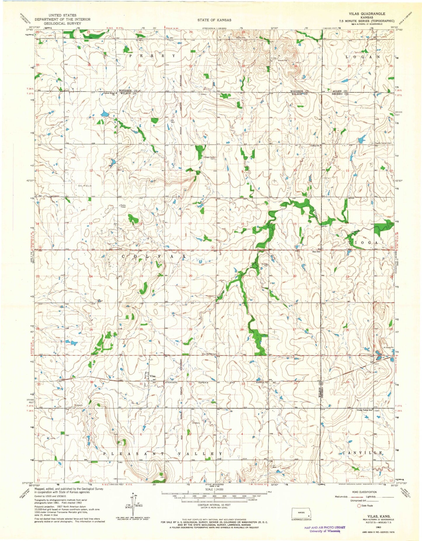
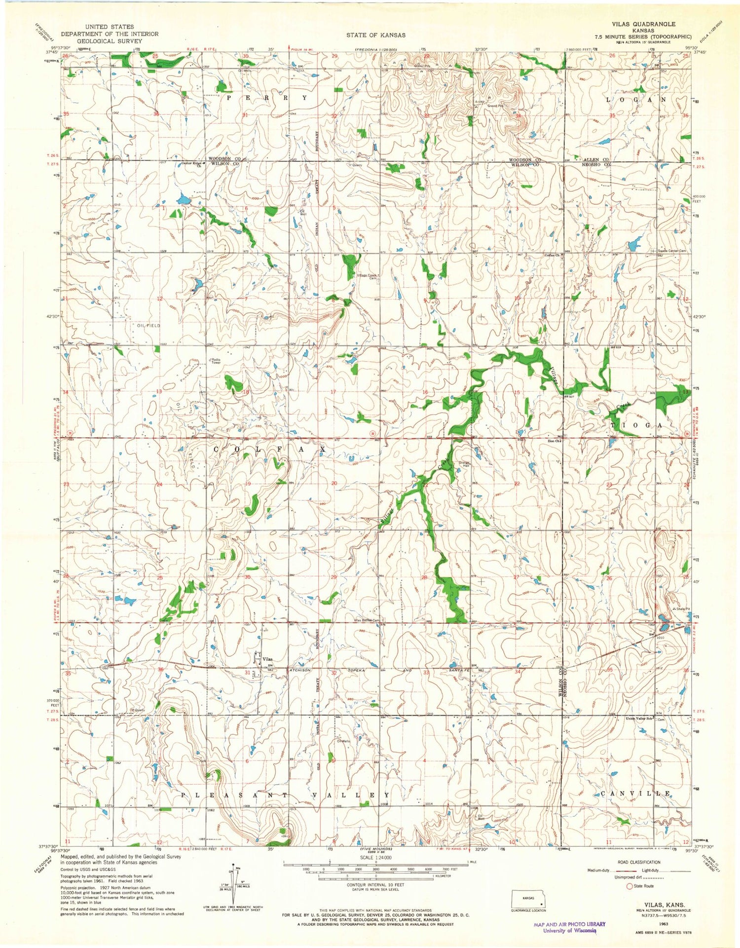
Classic USGS Vilas Kansas 7.5'x7.5' Topo Map
Couldn't load pickup availability
Historical USGS topographic quad map of Vilas in the state of Kansas. Map scale may vary for some years, but is generally around 1:24,000. Print size is approximately 24" x 27"
This quadrangle is in the following counties: Allen, Neosho, Wilson, Woodson.
The map contains contour lines, roads, rivers, towns, and lakes. Printed on high-quality waterproof paper with UV fade-resistant inks, and shipped rolled.
Contains the following named places: Bunker Hill School, Burdgeville, Center Ridge Church, Colfax Baptist Church, Colfax Cemetery, Golden Ridge School, Grandview School, KINZ - FM (Chanute), Maple Grove School, Mound Springs School, North Ridge, Peach Grove School, Ridge, Shirley School, Sorghum Valley School, South Ridge, Swede Center Cemetery, Swede Center School, Township of Colfax, Union Valley School, Vilas, Vilas Bethel Cemetery, Village Creek Cemetery, Village Creek School, Wilson County Rural Fire District Station 15, Zion Cemetery, Zion Church