
MyTopo
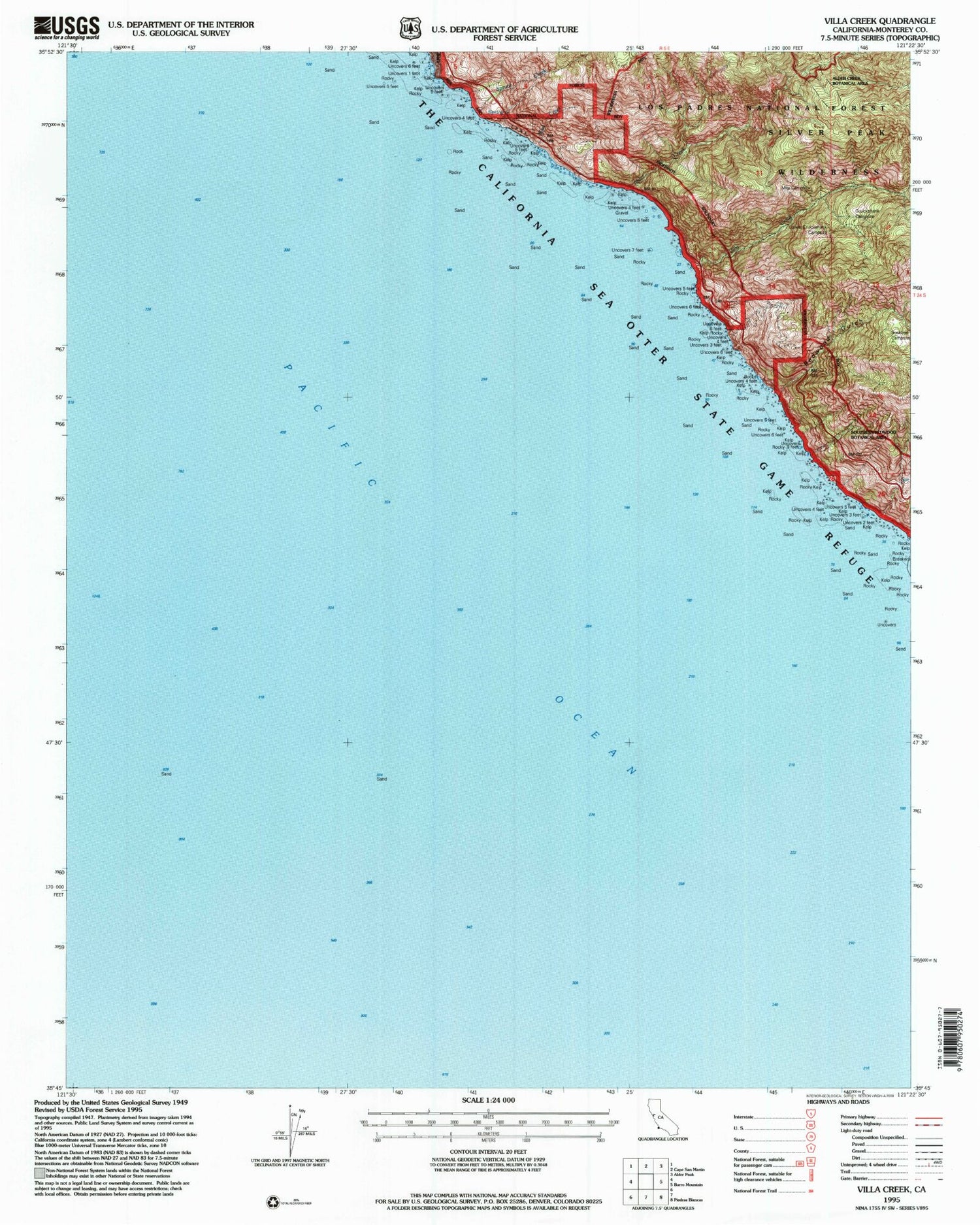
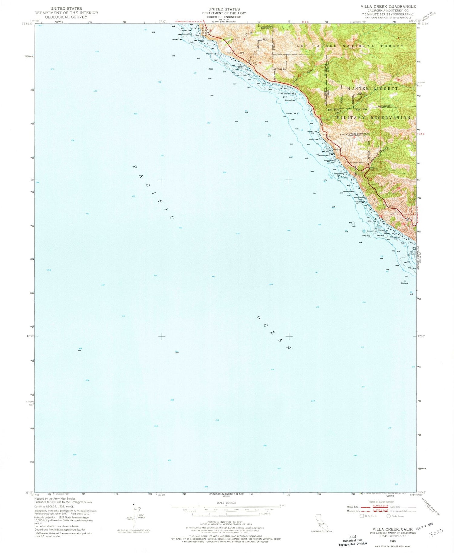
Classic USGS Villa Creek California 7.5'x7.5' Topo Map
Couldn't load pickup availability
Historical USGS topographic quad map of Villa Creek in the state of California. Map scale may vary for some years, but is generally around 1:24,000. Print size is approximately 24" x 27"
This quadrangle is in the following counties: Monterey, San Luis Obispo.
The map contains contour lines, roads, rivers, towns, and lakes. Printed on high-quality waterproof paper with UV fade-resistant inks, and shipped rolled.
Contains the following named places: Alder Creek, Buckeye Campground, Buckeye Spring, Cruickshank Campground, Evans Brothers Cow Camp, Los Burros Mine, Lower Cruickshank Campground, Mud Creek, Old Cruikshank Ranch, Redwood Gulch, Silver Creek Campground, Soda Spring Creek, Spruce Creek, Villa Campground, Villa Creek, Whaleboat Rock, White Rock Number Two


