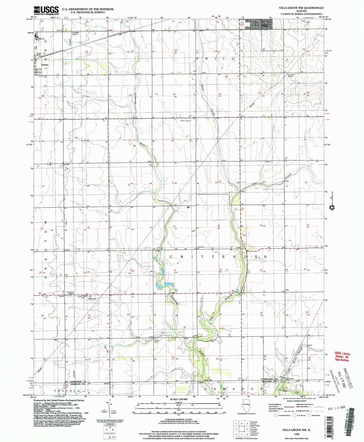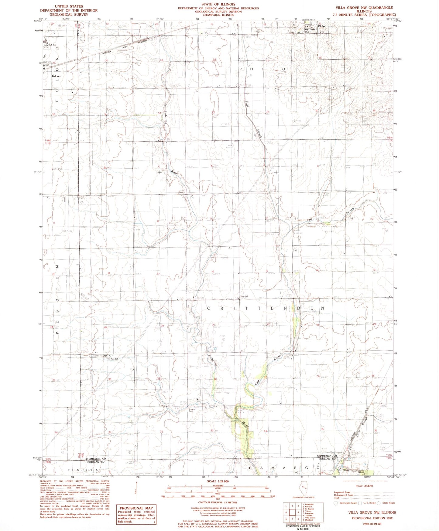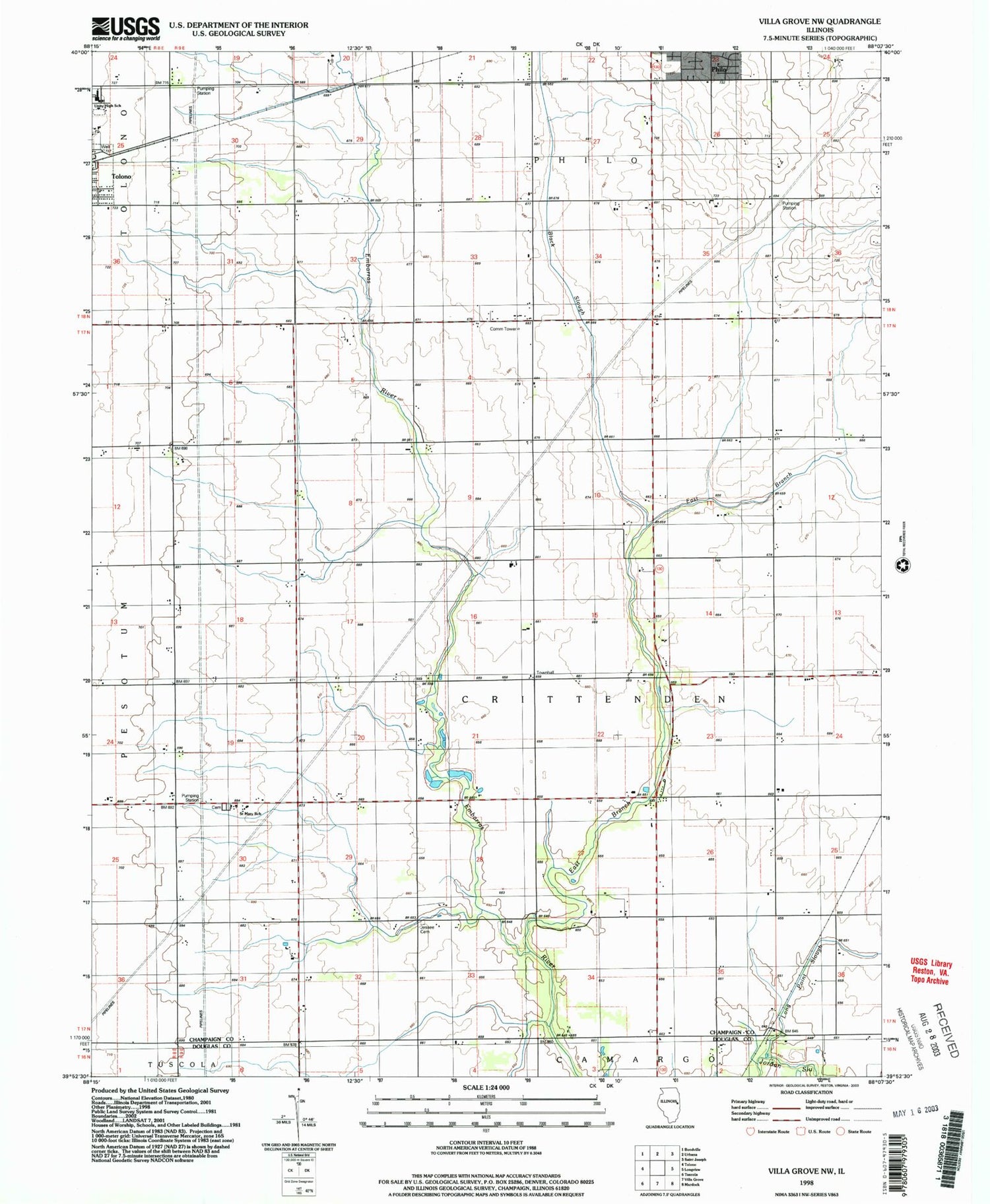
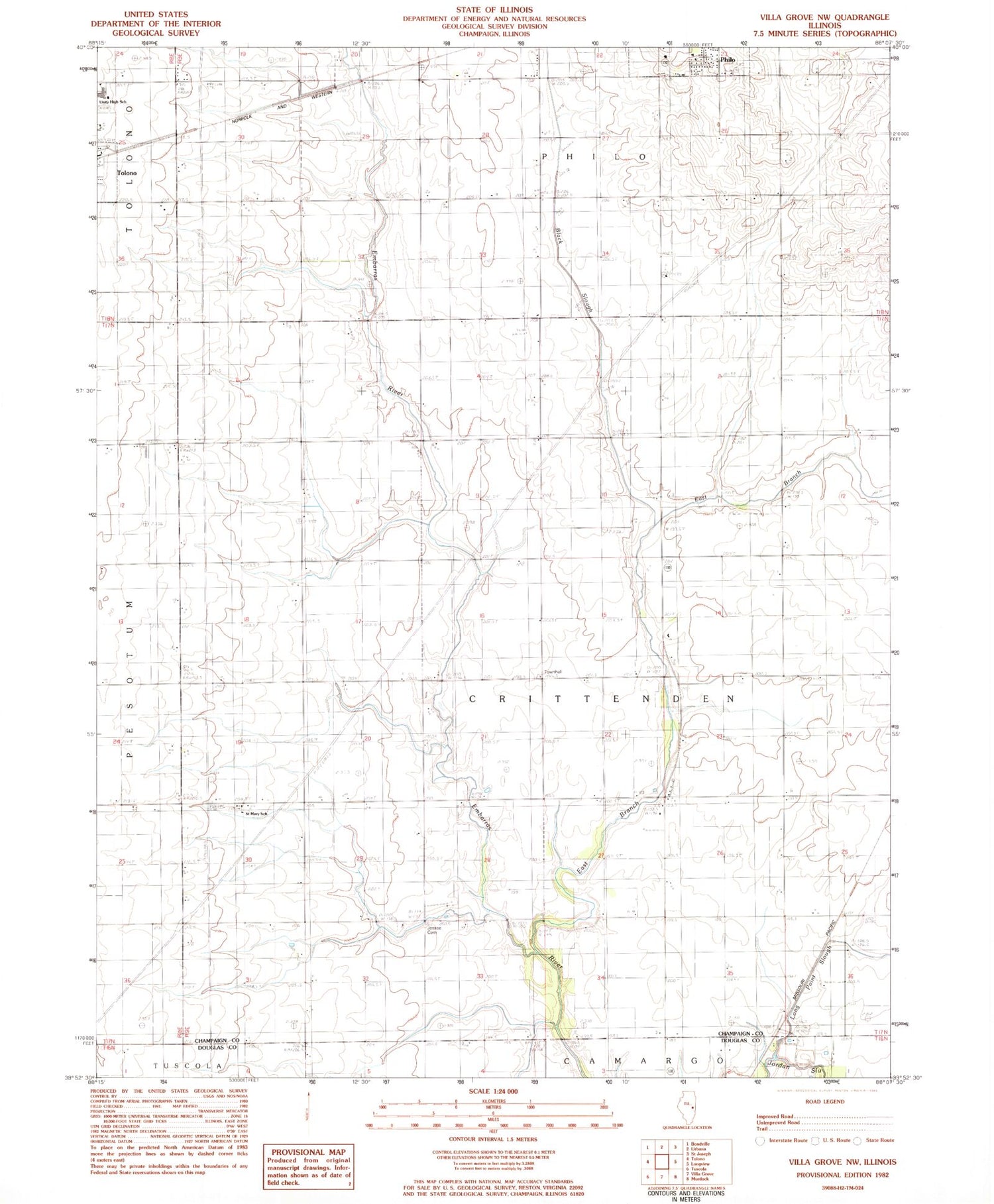
MyTopo
Classic USGS Villa Grove NW Illinois 7.5'x7.5' Topo Map
Couldn't load pickup availability
Historical USGS topographic quad map of Villa Grove NW in the state of Illinois. Map scale may vary for some years, but is generally around 1:24,000. Print size is approximately 24" x 27"
This quadrangle is in the following counties: Champaign, Douglas.
The map contains contour lines, roads, rivers, towns, and lakes. Printed on high-quality waterproof paper with UV fade-resistant inks, and shipped rolled.
Contains the following named places: Black Slough, Carle Arrow Ambulance, Crittenden Townhall, East Branch Embarras River, Jessee Cemetery, Long Point Slough, Saint Mary School, Saint Marys Cemetery, Township of Crittenden, Unity High School, Villa Grove Fire and Rescue, Villa Grove Police Department, ZIP Codes: 61864, 61880