MyTopo
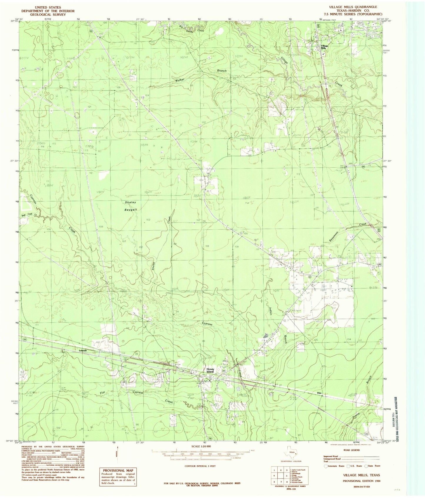
Classic USGS Village Mills Texas 7.5'x7.5' Topo Map
Regular price
$16.95
Regular price
Sale price
$16.95
Unit price
per
Couldn't load pickup availability
Historical USGS topographic quad map of Village Mills in the state of Texas. Map scale may vary for some years, but is generally around 1:24,000. Print size is approximately 24" x 27"
This quadrangle is in the following counties: Hardin.
The map contains contour lines, roads, rivers, towns, and lakes. Printed on high-quality waterproof paper with UV fade-resistant inks, and shipped rolled.
Contains the following named places: Bad Luck Creek, Brackin Cemetery, Dies, Grade School, Holland Cemetery, Honey Island, Jayhawker Creek, Kountze Volunteer Fire Department Station 2, Lelavale, Shaley Baygall, Shaley Creek, Village Mills, Walker Branch