MyTopo
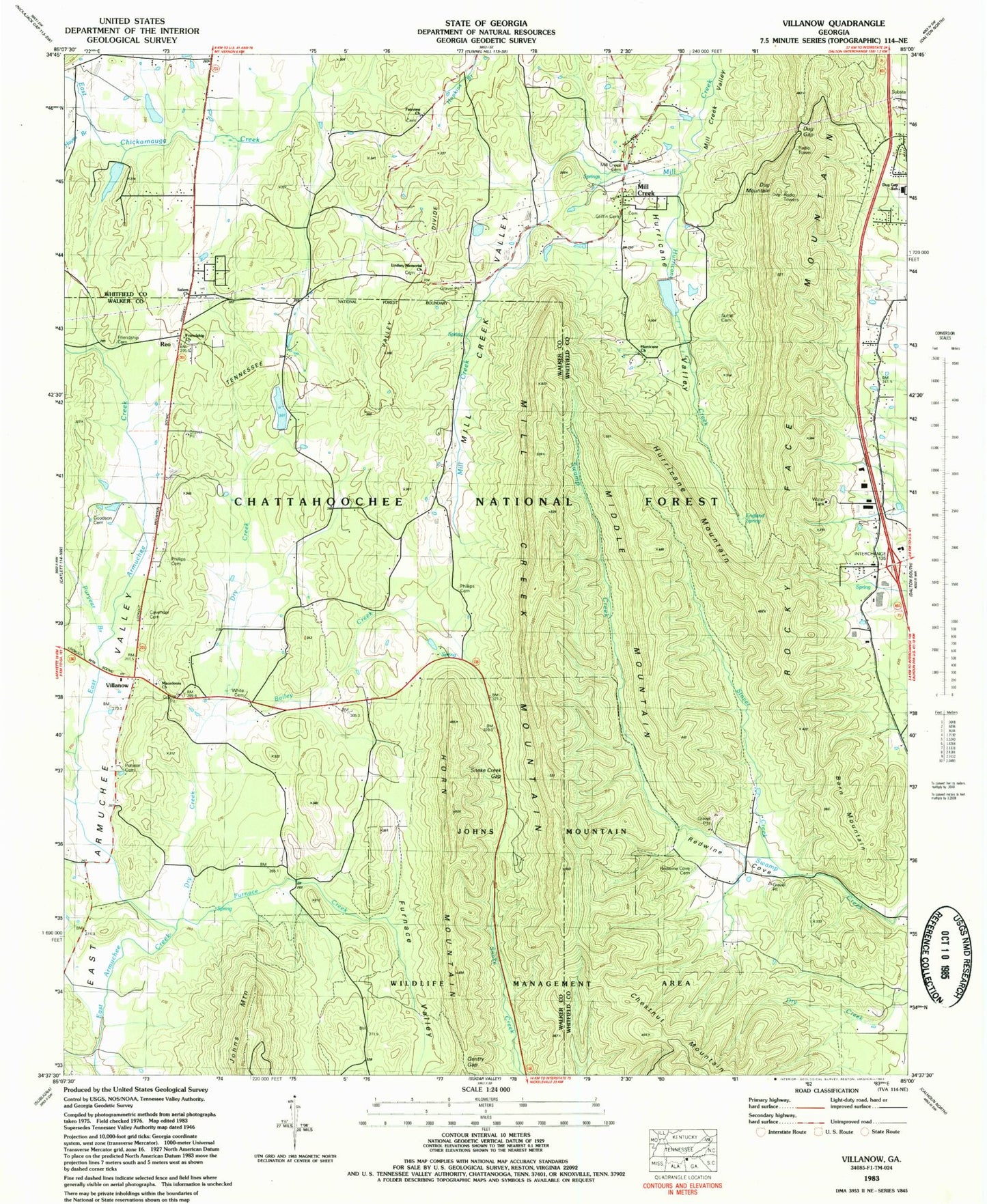
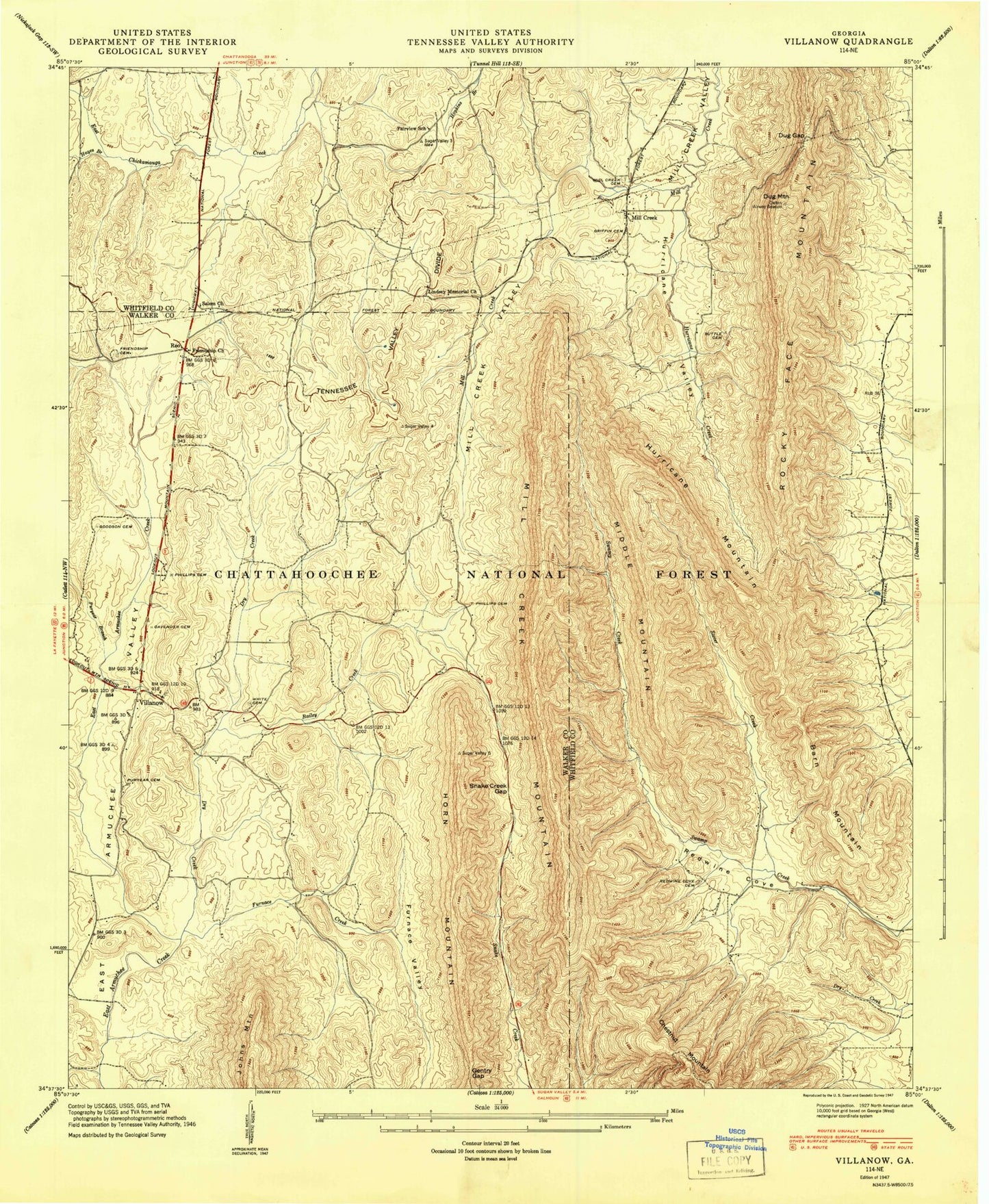
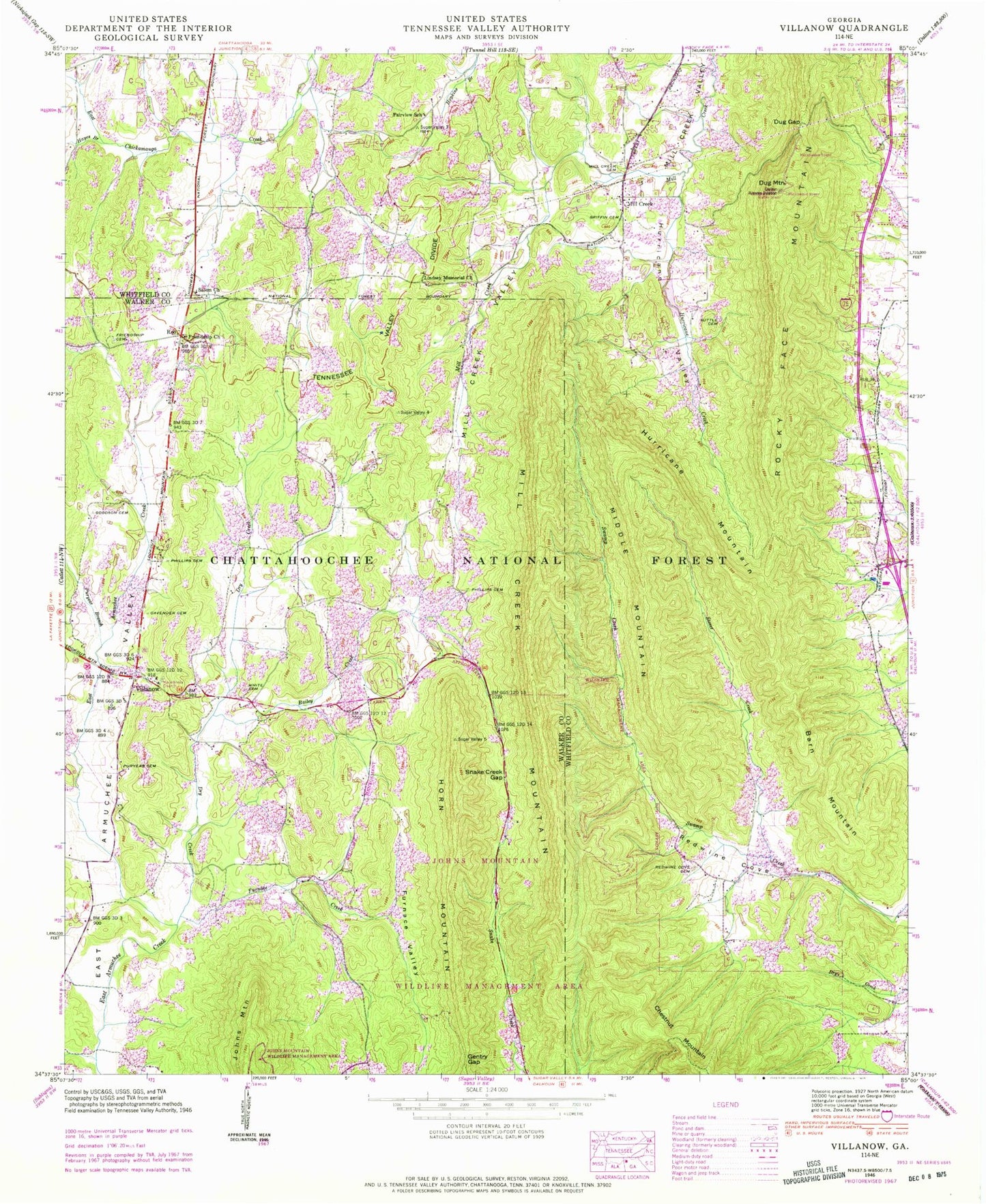
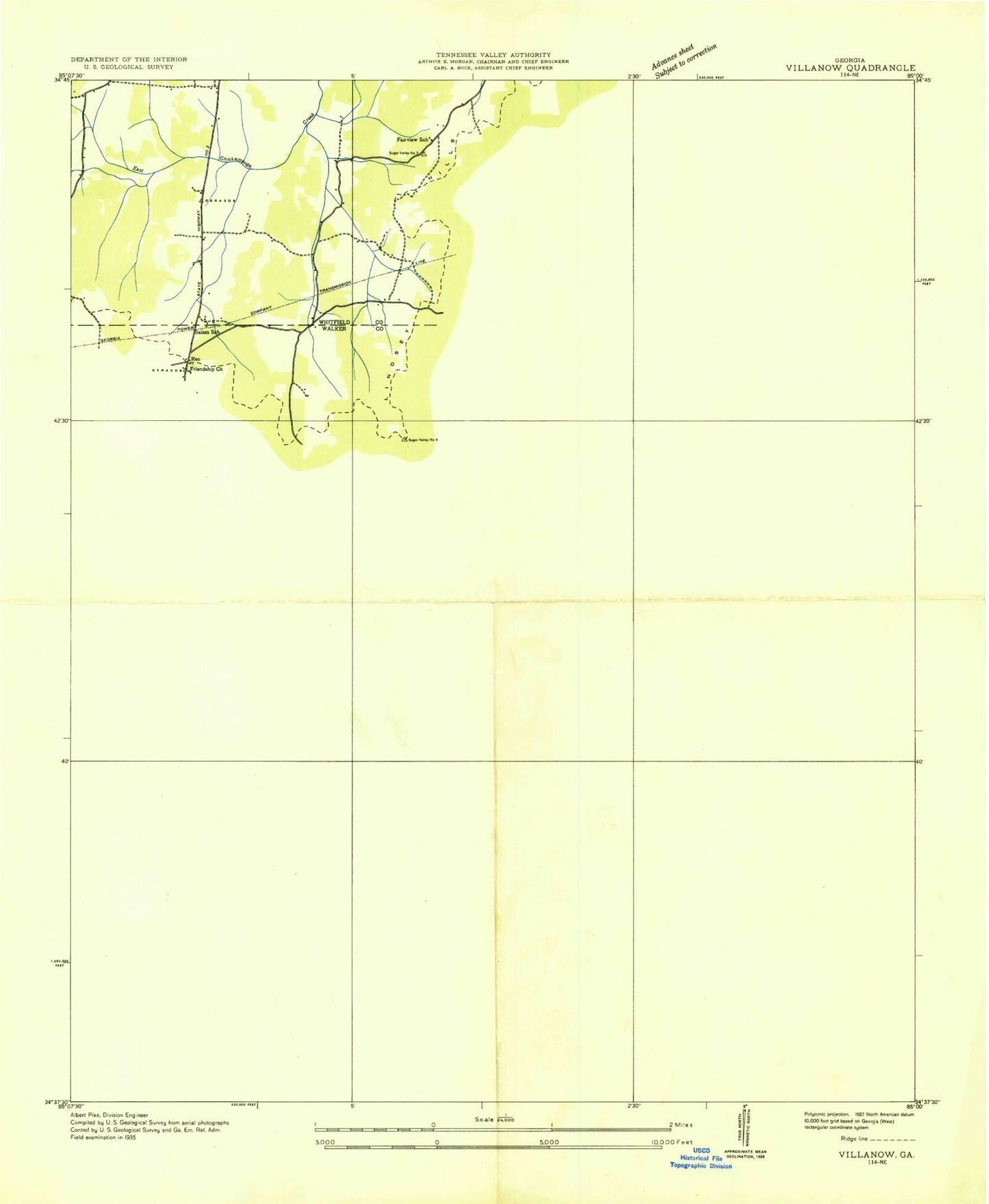
Classic USGS Villanow Georgia 7.5'x7.5' Topo Map
Couldn't load pickup availability
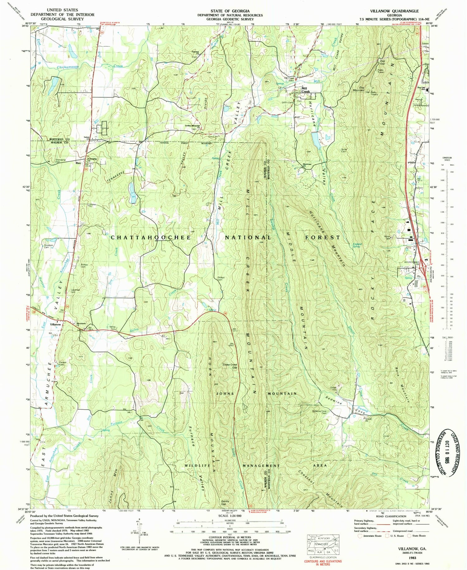
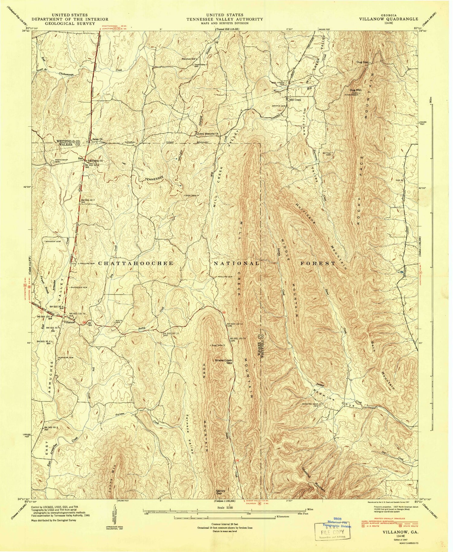
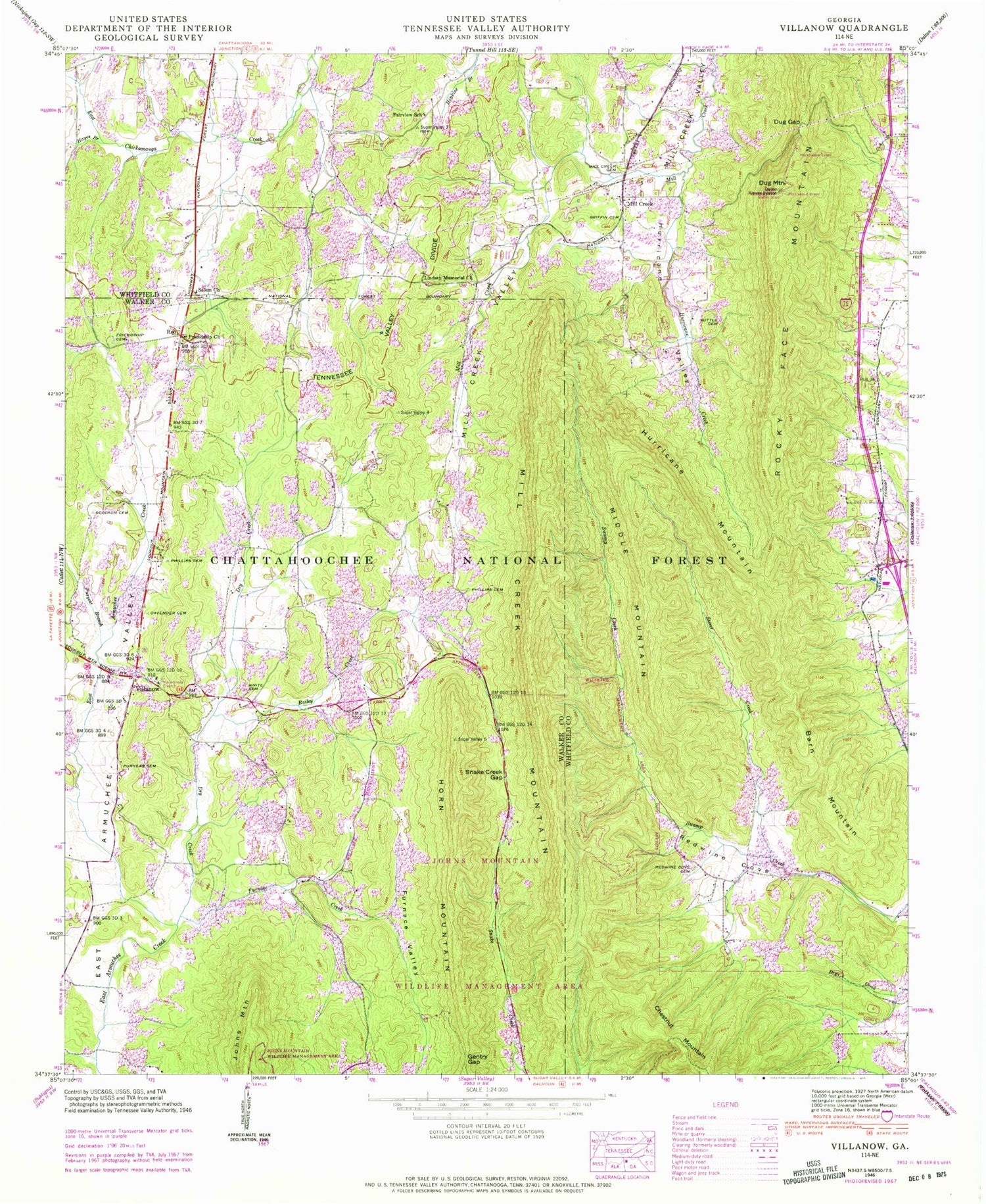
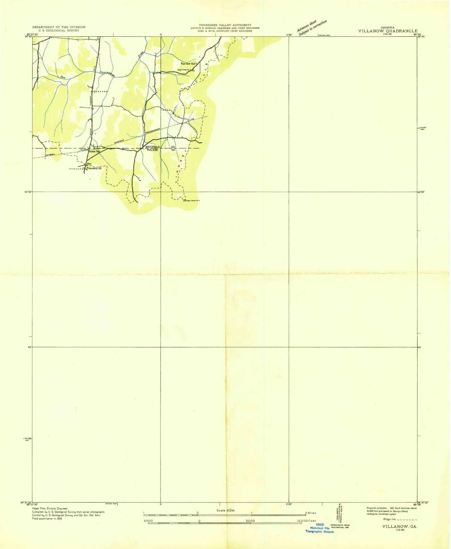
Historical USGS topographic quad map of Villanow in the state of Georgia. Typical map scale is 1:24,000, but may vary for certain years, if available. Print size: 24" x 27"
This quadrangle is in the following counties: Walker, Whitfield.
The map contains contour lines, roads, rivers, towns, and lakes. Printed on high-quality waterproof paper with UV fade-resistant inks, and shipped rolled.
Contains the following named places: Bailey Creek, Cavender Cemetery, Concord Creek, Dry Creek, Dug Gap, Fairview School, Friendship Cemetery, Furnace Creek, Furnace Valley, Gentry Gap, Goodson Cemetery, Griffin Cemetery, Hayes Branch, Houston Branch, Hurricane Valley, Johns Mountain Wildlife Management Area, Lindsey Memorial Church, Macedonia Church, Mill Creek Cemetery, Phillips Cemetery, Phillips Cemetery, Puryear Branch, Puryear Cemetery, Redwine Cove, Redwine Cove Cemetery, Salem Baptist Church, Snake Creek Gap, Stover Creek, Suttle Cemetery, White Cemetery, Dug Gap Elementary School, Hurricane Creek, Hurricane Church, Fairview Church, Barn Mountain, Dug Mountain, Hurricane Mountain, Middle Mountain, Mill Creek, Mill Creek Mountain, Reo, Villanow, Collins Lake Dam, Collins Lake, Mill Creek Watershed Dam Number Eight, Hurricane Valley Estates Lake, Smith Green West Lake Dam, Smith Green West Lake, Smith Green East Lake Dam, Smith Green East Lake, Villanow Work Center, England Spring, Fairview Church, Greens Old Mill (historical), Griffin Chapel, Mill Creek Baptist Church, Mill Creek Schoolhouse (historical), Rays Mill (historical), Barren Hills, Furnace (historical), Macedonia Cemetery, Villanow School (historical), Friendship Church, West Whitfield Division, Strain Family Cemetery, Whitfield County Fire Department Station 9, Rocky Face Greenhouse, Bailey Creek, Cavender Cemetery, Concord Creek, Dry Creek, Dug Gap, Fairview School, Friendship Cemetery, Furnace Creek, Furnace Valley, Gentry Gap, Goodson Cemetery, Griffin Cemetery, Hayes Branch, Houston Branch, Hurricane Valley, Johns Mountain Wildlife Management Area, Lindsey Memorial Church, Macedonia Church, Mill Creek Cemetery, Phillips Cemetery, Phillips Cemetery, Puryear Branch, Puryear Cemetery, Redwine Cove, Redwine Cove Cemetery, Salem Baptist Church, Snake Creek Gap, Stover Creek, Suttle Cemetery, White Cemetery, Dug Gap Elementary School, Hurricane Creek, Hurricane Church, Fairview Church, Barn Mountain, Dug Mountain, Hurricane Mountain, Middle Mountain, Mill Creek, Mill Creek Mountain, Reo, Villanow, Collins Lake Dam, Collins Lake, Mill Creek Watershed Dam Number Eight, Hurricane Valley Estates Lake, Smith Green West Lake Dam, Smith Green West Lake, Smith Green East Lake Dam, Smith Green East Lake, Villanow Work Center, England Spring, Fairview Church, Greens Old Mill (historical), Griffin Chapel, Mill Creek Baptist Church, Mill Creek Schoolhouse (historical), Rays Mill (historical), Barren Hills, Furnace (historical), Macedonia Cemetery, Villanow School (historical), Friendship Church, West Whitfield Division, Strain Family Cemetery, Whitfield County Fire Department Station 9, Rocky Face Greenhouse, Bailey Creek, Cavender Cemetery, Concord Creek, Dry Creek, Dug Gap, Fairview School, Friendship Cemetery, Furnace Creek, Furnace Valley, Gentry Gap, Goodson Cemetery, Griffin Cemetery, Hayes Branch, Houston Branch, Hurricane Valley, Johns Mountain Wildlife Management Area, Lindsey Memorial Church, Macedonia Church, Mill Creek Cemetery, Phillips Cemetery, Phillips Cemetery, Puryear Branch, Puryear Cemetery, Redwine Cove, Redwine Cove Cemetery, Salem Baptist Church, Snake Creek Gap, Stover Creek, Suttle Cemetery, White Cemetery, Dug Gap Elementary School, Hurricane Creek, Hurricane Church, Fairview Church, Barn Mountain, Dug Mountain, Hurricane Mountain, Middle Mountain, Mill Creek, Mill Creek Mountain, Reo, Villanow, Collins Lake Dam, Collins Lake, Mill Creek Watershed Dam Number Eight, Hurricane Valley Estates Lake, Smith Green West Lake Dam, Smith Green West Lake, Smith Green East Lake Dam, Smith Green East Lake, Villanow Work Center, England Spring, Fairview Church, Greens Old Mill (historical), Griffin Chapel, Mill Creek Baptist Church, Mill Creek Schoolhouse (historical), Rays Mill (historical), Barren Hills, Furnace (historical), Macedonia Cemetery, Villanow School (historical), Friendship Church, West Whitfield Division, Strain Family Cemetery, Whitfield County Fire Department Station 9, Rocky Face Greenhouse
