MyTopo
Classic USGS Vilonia Arkansas 7.5'x7.5' Topo Map
Couldn't load pickup availability
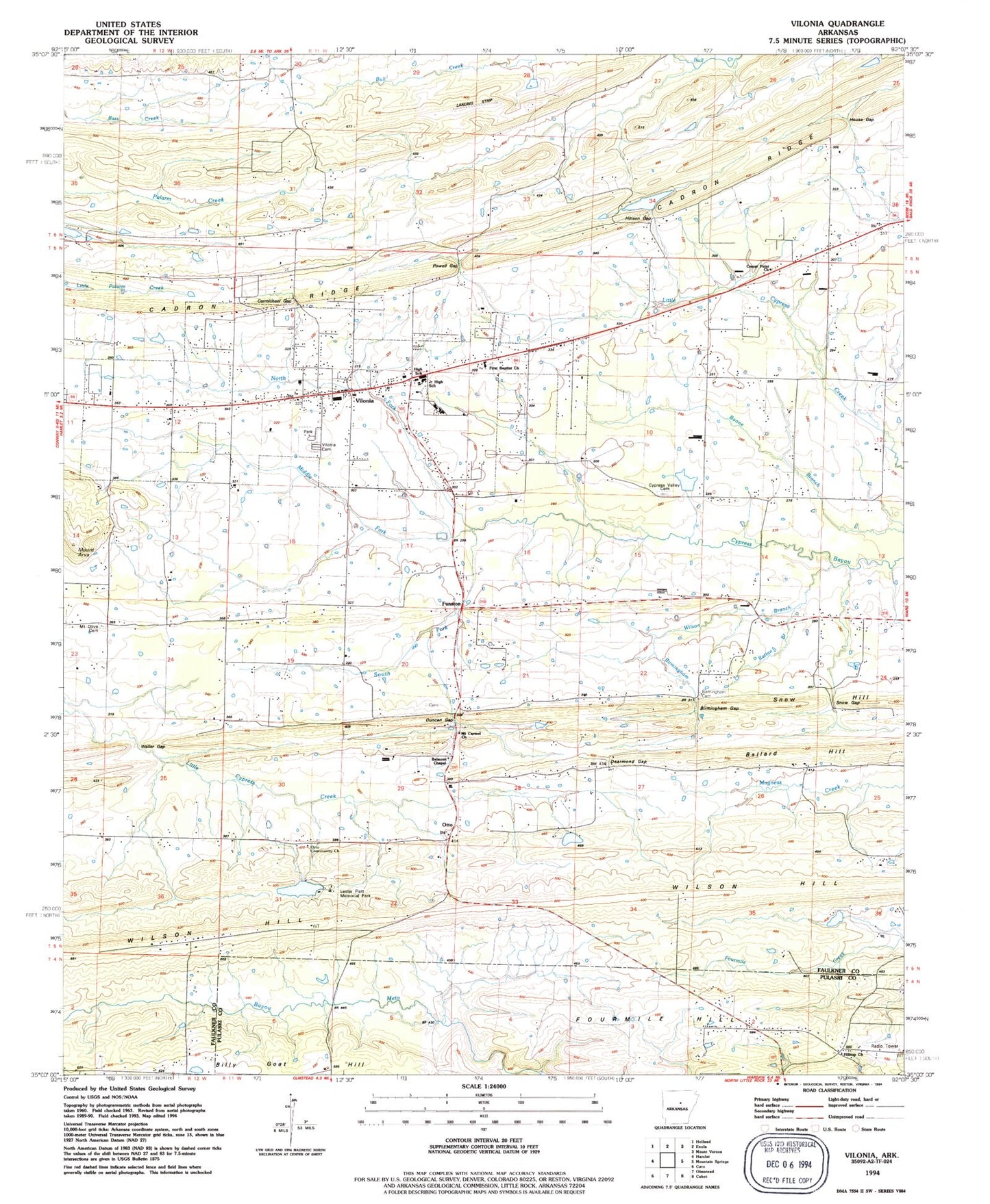
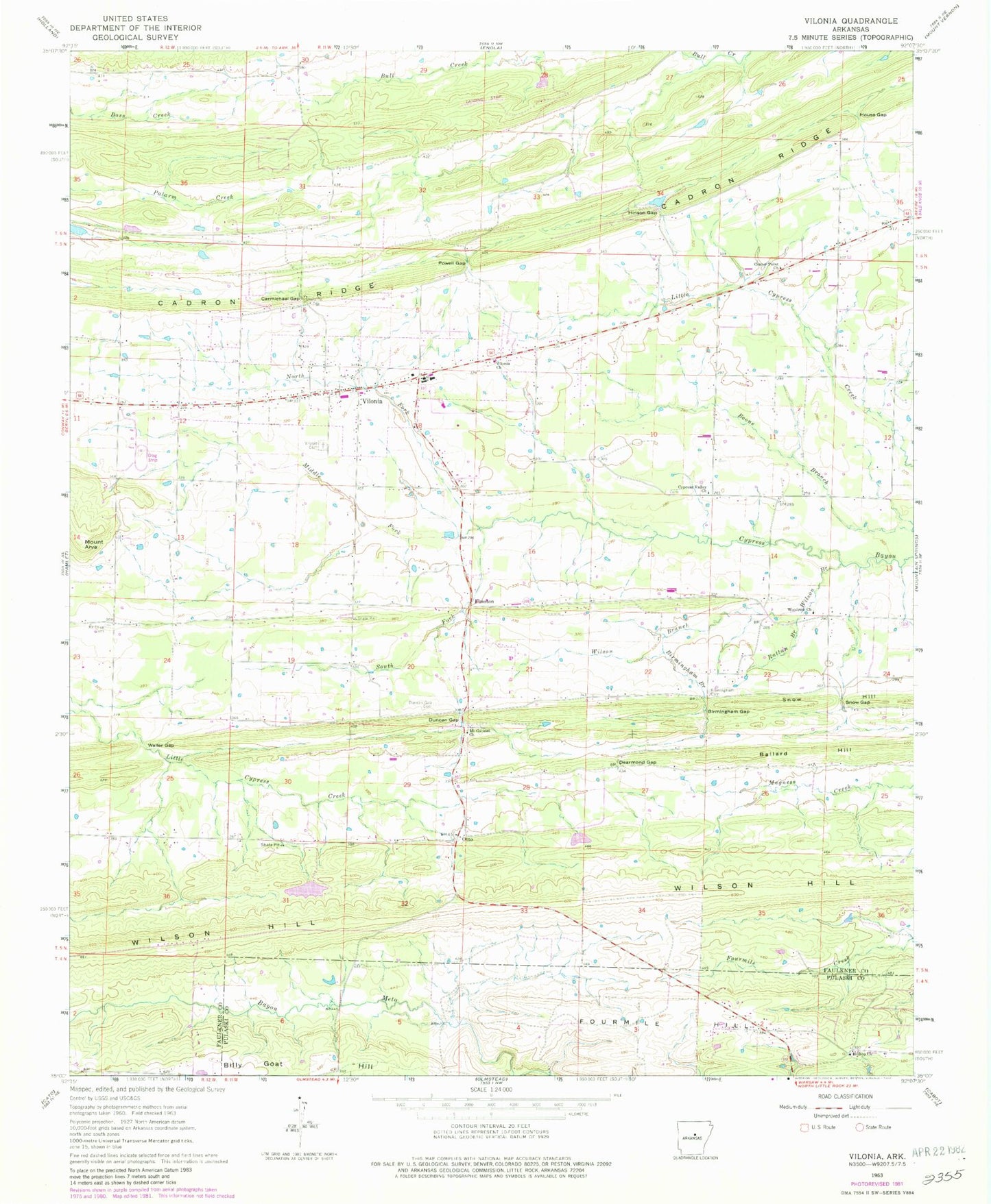
Historical USGS topographic quad map of Vilonia in the state of Arkansas. Map scale may vary for some years, but is generally around 1:24,000. Print size is approximately 24" x 27"
This quadrangle is in the following counties: Faulkner, Pulaski.
The map contains contour lines, roads, rivers, towns, and lakes. Printed on high-quality waterproof paper with UV fade-resistant inks, and shipped rolled.
Contains the following named places: Air - Evacuation Lifeteam 30, Bailey Lake, Bailey Lake Dam, Ballard Hill, Belmont School, Billy Goat Hill, Birmingham Branch, Birmingham Cemetery, Birmingham Gap, Carmichael Gap, Center Point, Center Point Baptist Church, Center Point School, City of Vilonia, Cypress Valley Cemetery, Cypress Valley Methodist Church, Dearmond Gap, Deihl Lake, Duncan Gap, Duncan Gap Cemetery, Duncans Gap, Ebenezer School, Funston, Hill Top Volunteer Fire Department District 51Station 1, Hilltop Church, Hinson Gap, House Gap, Lake Ola, Lake Ola-Dale Dam, Marshall School, Middle Fork Cypress Bayou, Mount Arva, Mount Carmel Methodist Church, Mount Olive Cemetery, Mount Olive Church, North Fork Cypress Bayou, Otto, Powell Gap, Rattan Branch, Sharon Church, Snow Gap, Snow Hill, South Fork Cypress Bayou, Township of Cypress, Vilonia, Vilonia Airport, Vilonia Baptist Church, Vilonia Cemetery, Vilonia Elementary School, Vilonia Fire Department, Vilonia Fire Department Station 3, Vilonia Freshman Academy School, Vilonia High School, Vilonia Junior High School, Vilonia Police Department, Vilonia Post Office, Vilonia United Methodist Church, Waller Gap, Williams Lake, Williams Lake Dam, Wilson Branch, Wilson Hill, Woodrow Church, Woodrow School, ZIP Code: 72173


