MyTopo
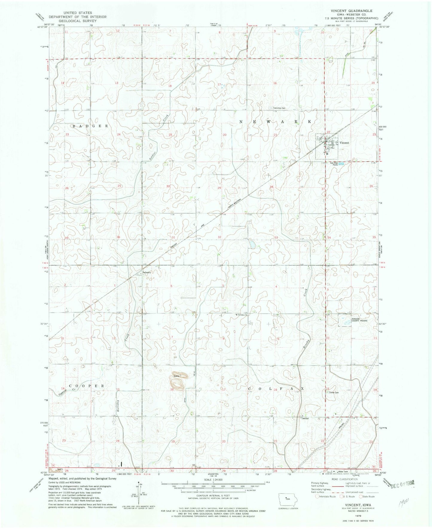
Classic USGS Vincent Iowa 7.5'x7.5' Topo Map
Couldn't load pickup availability
Historical USGS topographic quad map of Vincent in the state of Iowa. Map scale may vary for some years, but is generally around 1:24,000. Print size is approximately 24" x 27"
This quadrangle is in the following counties: Webster.
The map contains contour lines, roads, rivers, towns, and lakes. Printed on high-quality waterproof paper with UV fade-resistant inks, and shipped rolled.
Contains the following named places: City of Vincent, Colfax Cemetery, Colfax Townhall, Colfax Township Hall, Drainage Ditch 102, Industry, Industry Post Office, Lateral Ditch Number 1, Lateral Number 1, Newark Township Cemetery, Rossow County Prairie, Saint Johns Church, South Enes Lutheran Church, Township of Colfax, Township of Newark, Vincent, Vincent City Hall, Vincent Methodist Church, Vincent Post Office, Vincent Town Community Hall, Vincent Volunteer Fire Department, ZIP Code: 50594