MyTopo
Classic USGS Vine Tennessee 7.5'x7.5' Topo Map
Couldn't load pickup availability
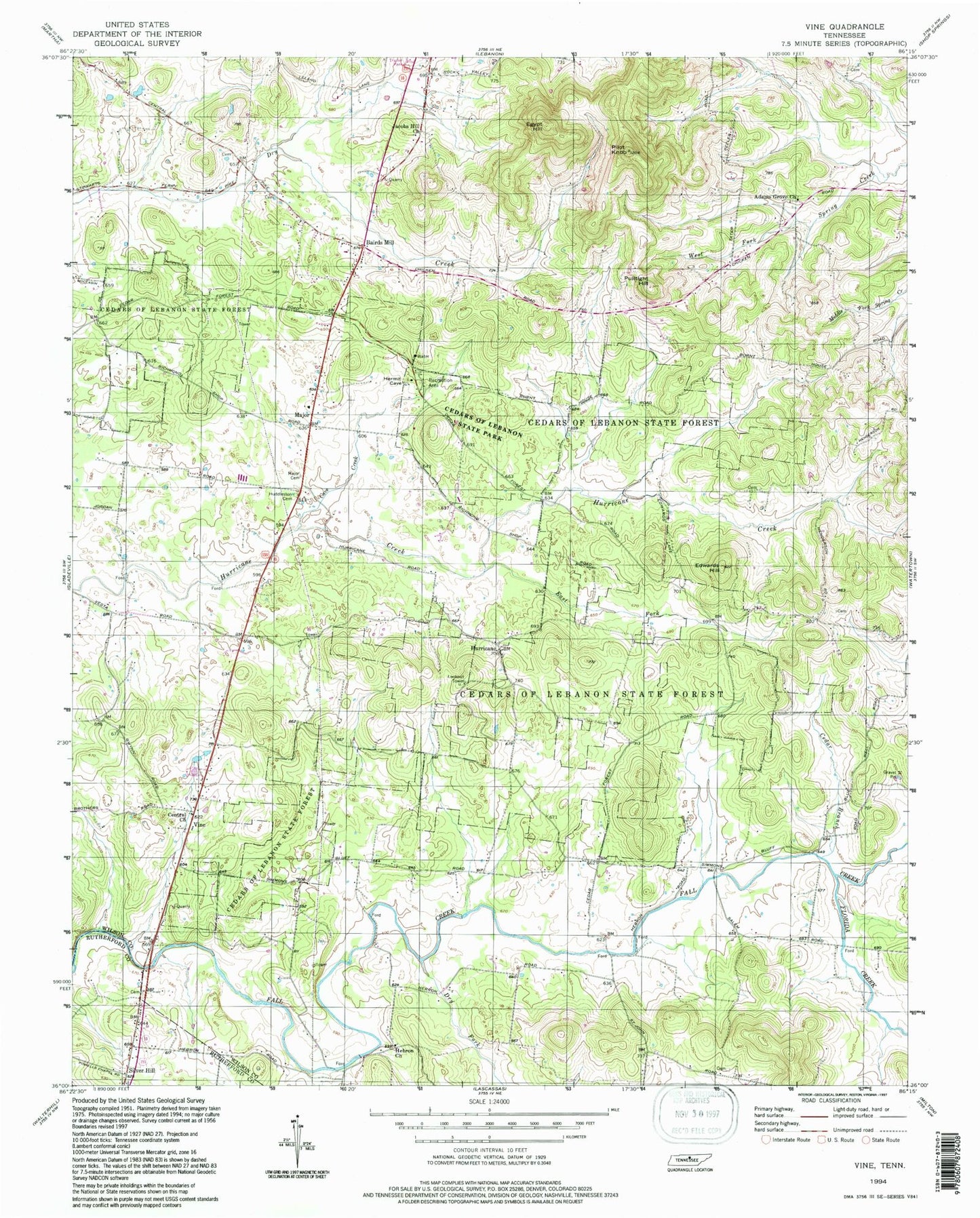
Historical USGS topographic quad map of Vine in the state of Tennessee. Typical map scale is 1:24,000, but may vary for certain years, if available. Print size: 24" x 27"
This quadrangle is in the following counties: Rutherford, Wilson.
The map contains contour lines, roads, rivers, towns, and lakes. Printed on high-quality waterproof paper with UV fade-resistant inks, and shipped rolled.
Contains the following named places: Silver Hill, Dry Fork, Cave Creek, Cedar Branch, Central Church, East Fork Hurricane Creek, Edwards Hill, Egypt Hill, Florida Creek, Hebron Church, Huddleston Cemetery, Hurricane, Jacobs Hill Church, Major, Major Cemetery, Pilot Knob, Pultight Hill, Thompson Hills, Partlow Branch, Vine, Adams Grove Church, Bairds Mill, Cedars of Lebanon State Forest, Adams Grove, Josephine (historical), Mount Carmel (historical), Oak Point (historical), Tater Peeler (historical), Bairds Mill Church of Christ, Hurricane Baptist Church, Hurricane School (historical), Major School, Shelton Cemetery, Jacksons Cave Spring, Commissioner District 12, Flatwood Field, Fall Creek Field, Toy Box Airport