MyTopo
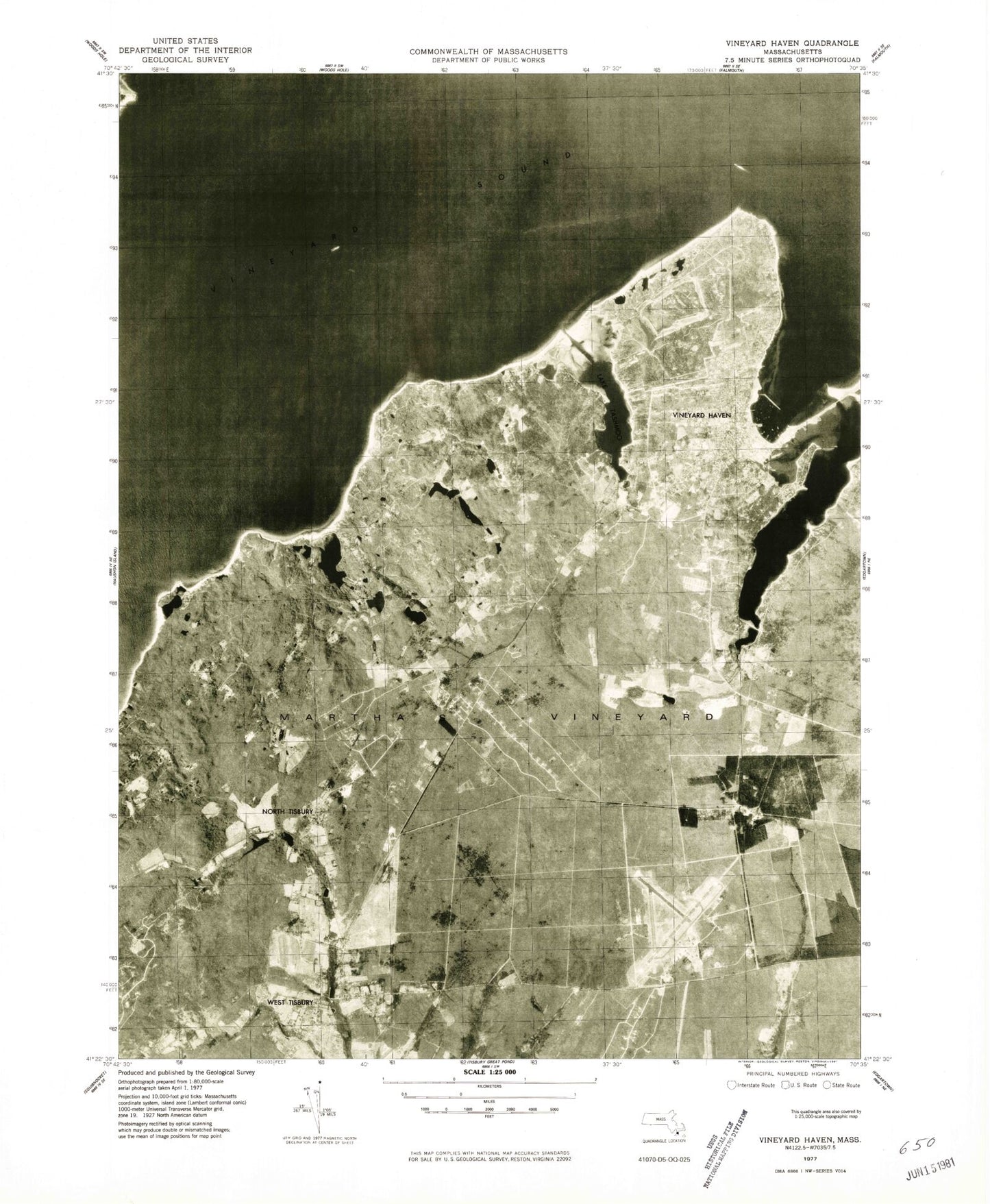
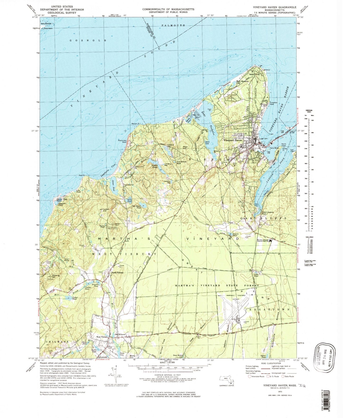
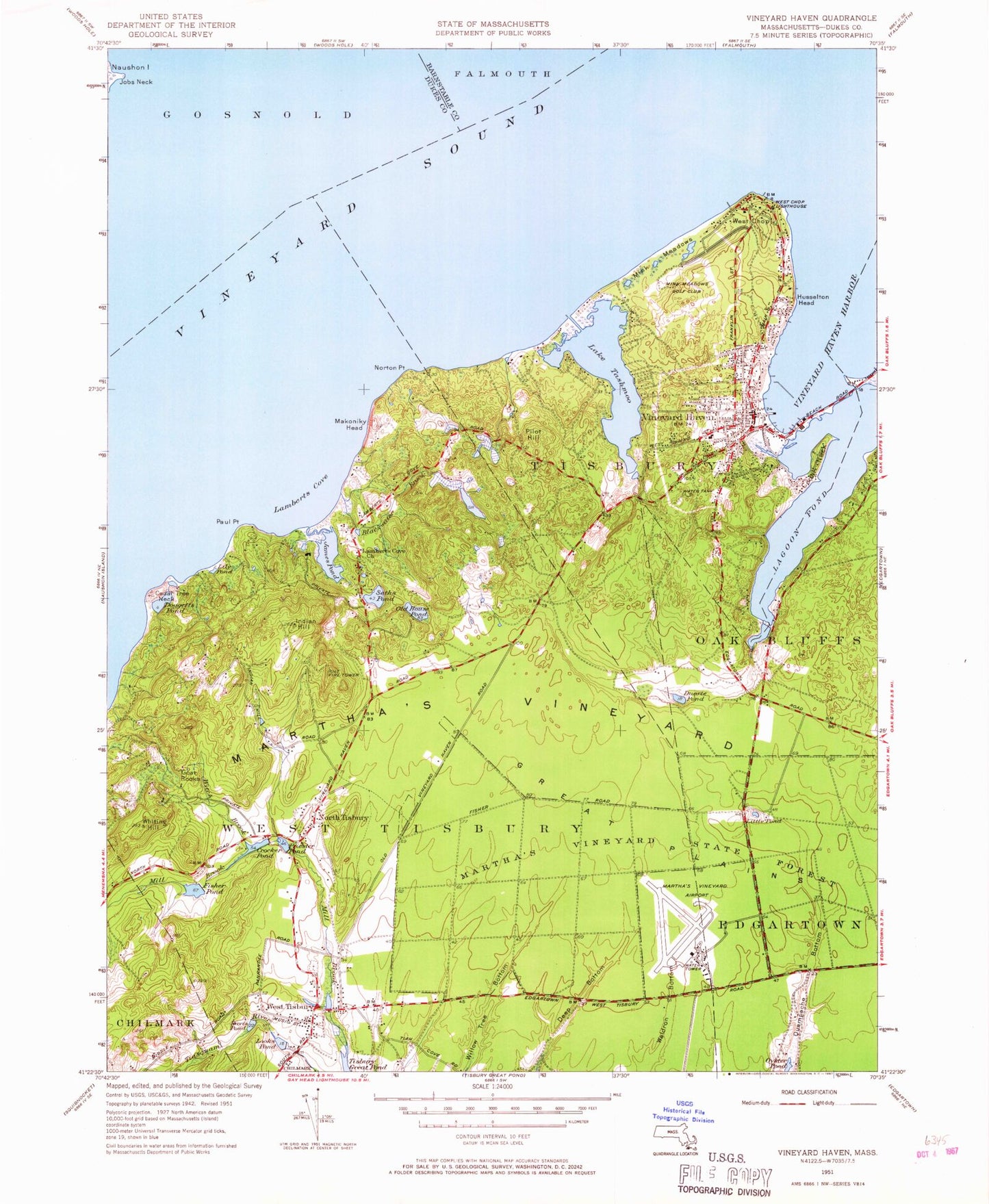
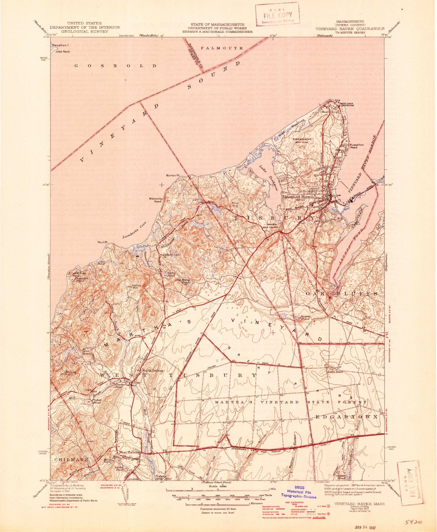
Classic USGS Vineyard Haven Massachusetts 7.5'x7.5' Topo Map
Couldn't load pickup availability
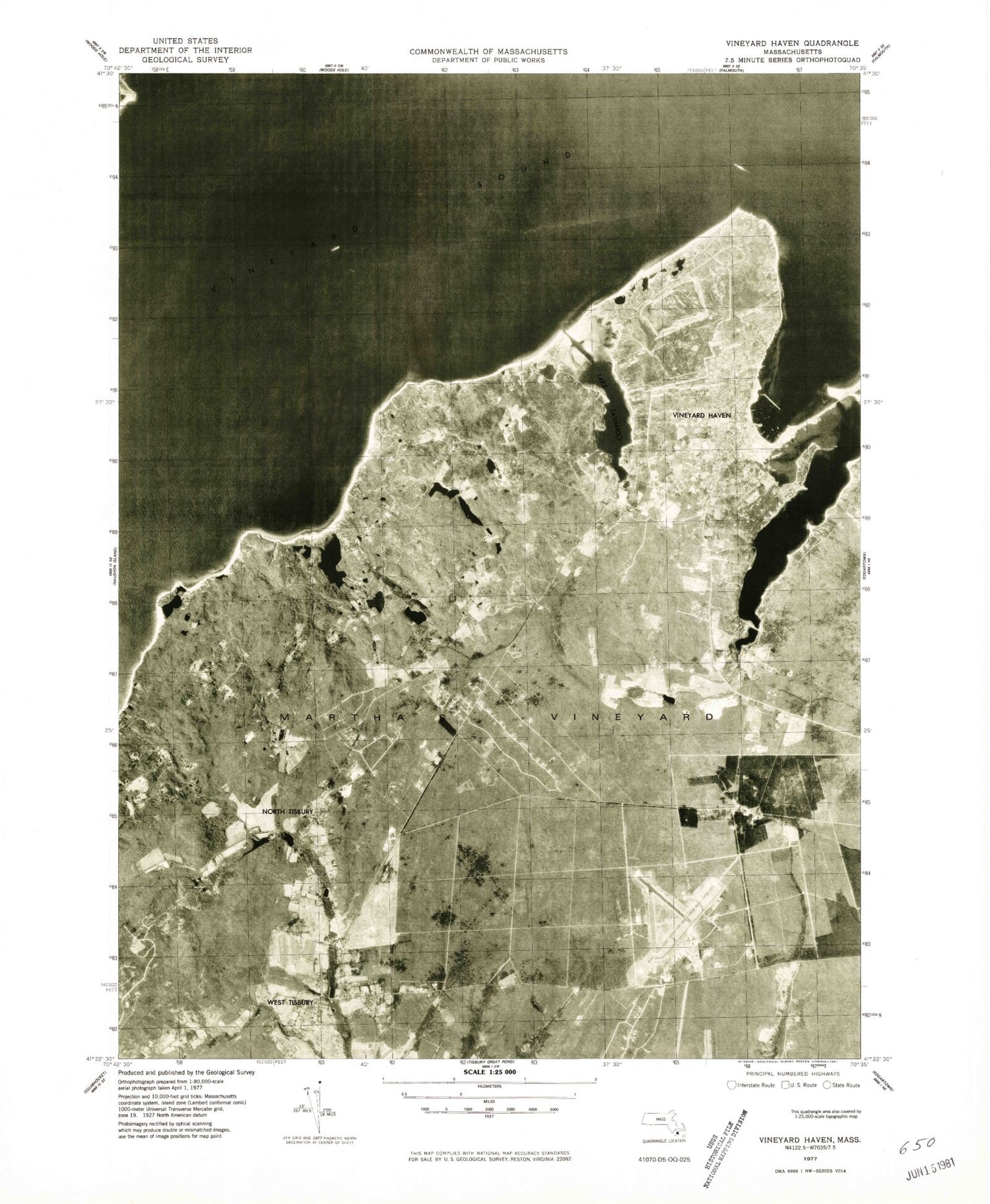
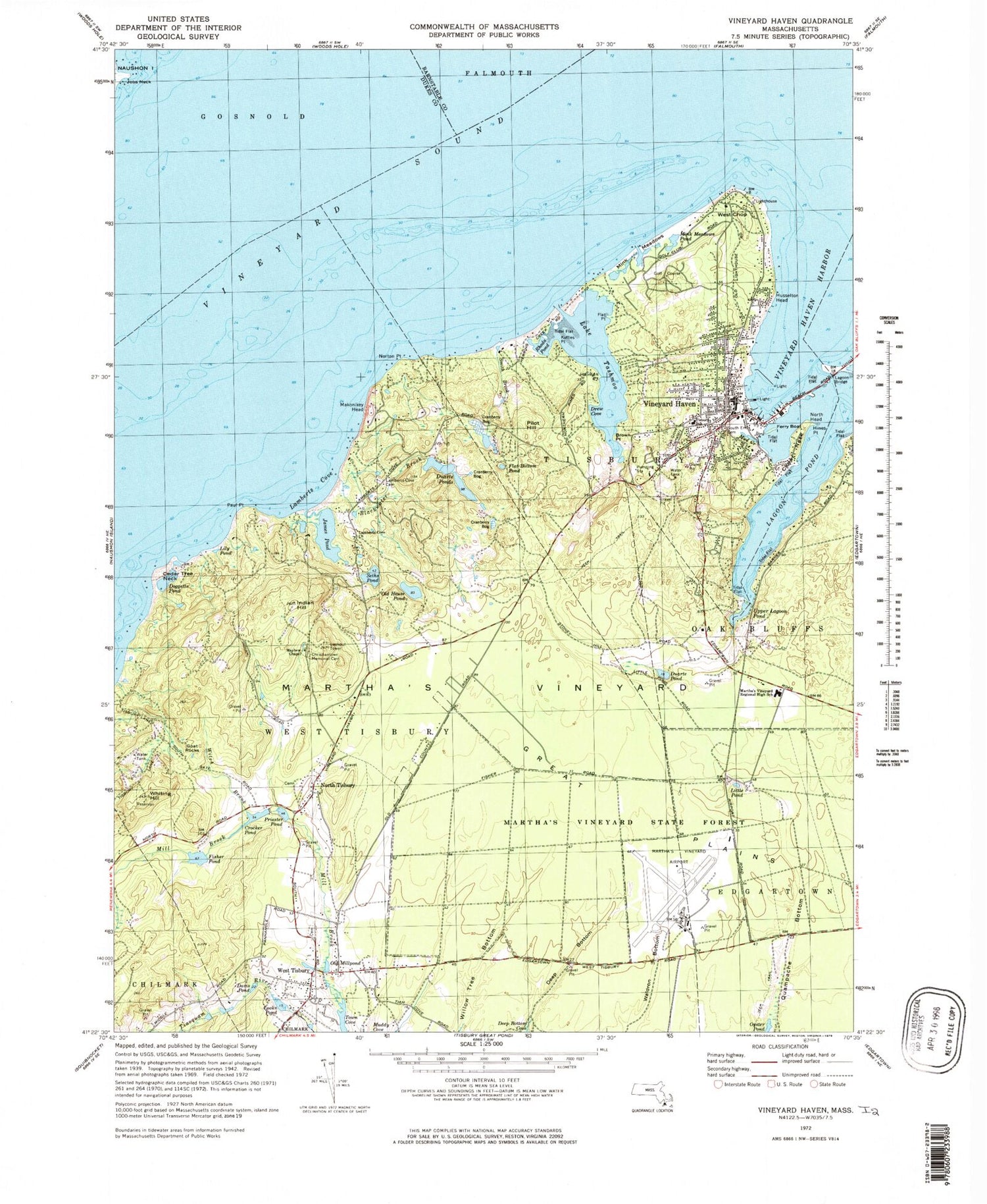
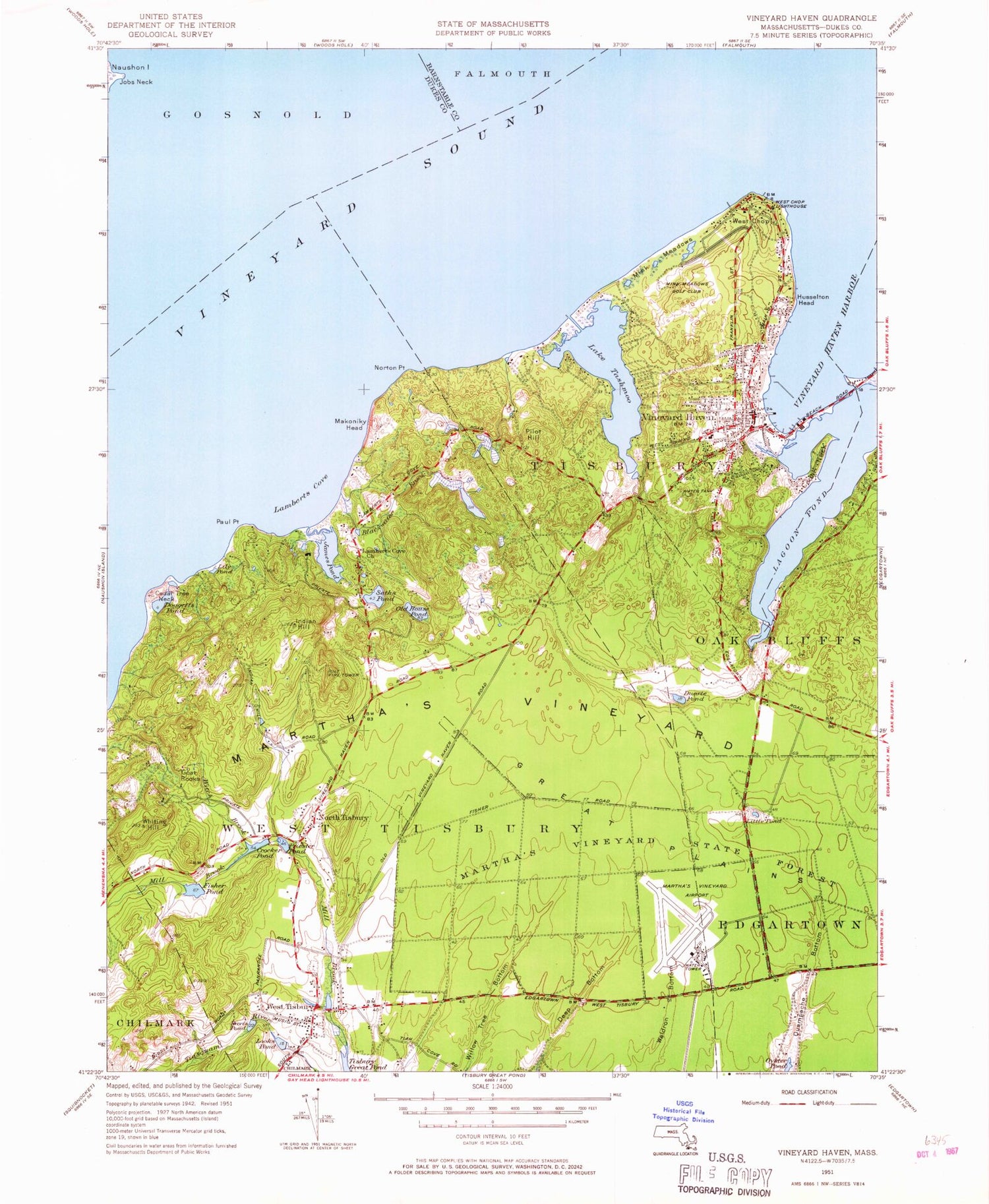
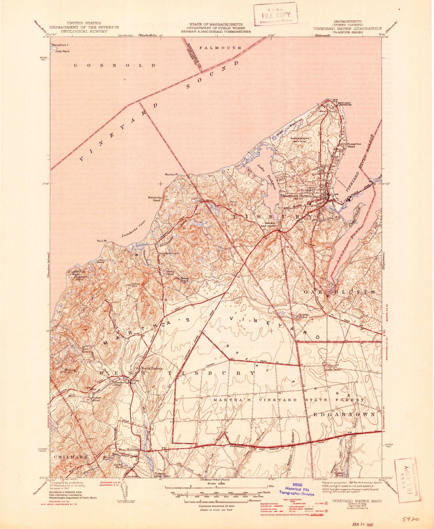
Historical USGS topographic quad map of Vineyard Haven in the state of Massachusetts. Typical map scale is 1:24,000, but may vary for certain years, if available. Print size: 24" x 27"
This quadrangle is in the following counties: Barnstable, Dukes.
The map contains contour lines, roads, rivers, towns, and lakes. Printed on high-quality waterproof paper with UV fade-resistant inks, and shipped rolled.
Contains the following named places: Martha's Vineyard Aero Light, West Chop Light, Vineyard Haven Breakwater Light, Vineyard Haven Ferry Slip Light, Lake Tashmoo East Jetty Light, Lamberts Cove Cemetery, Mayhew Chapel, Christiantown Memorial Cemetery, Tisbury Elementary School, South End Cemetery, Lamberts Cove Church, James Pond Marshes, Oak Grove Cemetery, Fisher Pond Dam, Crocker Pond Dam, Tashmoo Hill, Dukes County, Martha's Vineyard Regional High School, Jobs Neck, Alleghany Rock (historical), Blackwater Brook, Brown Point, Cedar Neck, Cedar Tree Neck, Crocker Pond, Davis Pond, Deep Bottom, Doggetts Pond, Duarte Pond, Duarte Ponds, Ferry Boat Island, Fisher Pond, Flat Bottom Pond, Flat Point, Goat Rocks, Great Plains, Hines Point, Hullman Point, Husselton Head, James Pond, Kuffies Point, Lagoon Pond, Lily Pond, Little Pond, Looks Pond, Makonikey Head, Middle Ground, Mill Brook, Mink Meadows Pond, Mud Creek, North Head, North Tisbury, Norton Point, Norton Rock, Oklahoma Heights, Old House Pond, Old Millpond, Paul Point, Pilot Hill, Priester Pond, Rhoda Pond, Robbins Rock, Seths Pond, Lake Tashmoo, Tashmoo Spring, Upper Lagoon Pond, Vineyard Haven, Vineyard Haven Harbor, West Chop, West Chop, West Tisbury, Whiting Hill, Witch Brook, Martha's Vineyard, Big Rock, Meadow Rock, Town of West Tisbury, Takemmy (historical), Toikiming (historical), Drew Cove, Lamberts Cove, WMVY-FM (Tisbury), Martha's Vineyard Airport, Town of Tisbury, Douglas Rock, American Youth Hostel, Cedar Tree Neck Sanctuary, Christian Town, Island Christian Church, Joshua Slocum House, Katherine Cornell Theater, Lake Tashmoo Town Beach, Lamberts Cove, Lamberts Cove Beach, Longview, Makonikey, Marthas Vineyard Chamber of Commerce, Marthas Vineyard Shipyard, Mingo Cemetery, Mink Meadows Golf Course, North Shore Beach, Old Schoolhouse Museum and Liberty Pole, Owen Park, Owen Park Beach, Sailors Burying Ground, Saint Augustines Church, Schamonchi Dock, Seamans Bethel, Steamship Authority Wharf, Tashmoo Overlook, Tisbury Museum, Tisbury School (historical), Tisbury Town Beach, Tisbury Town Hall, Tisbury Village Cemetery, Unitarian Universalist Society, Veterans Memorial Park, Vineyard Haven Post Office, Vineyard Haven Public Library, Vineyard Haven Yacht Club, West Chop Cemetery, West Chop Woods, West Tisbury Post Office, West Tisbury Public Library, West Tisbury Village Cemetery, William Street Historic District, Martha's Vineyard Public Charter School Library, Tisbury Elementary School Library, Vineyard Haven Census Designated Place, West Tisbury Fire Department, Tisbury Fire Department, West Tisbury Police Department, Tisbury Police Department, Dukes County Sheriff's Office, Martha's Vineyard Hebrew Cemetery, Martha's Vineyard Aero Light, West Chop Light, Vineyard Haven Breakwater Light, Vineyard Haven Ferry Slip Light, Lake Tashmoo East Jetty Light, Lamberts Cove Cemetery, Mayhew Chapel, Christiantown Memorial Cemetery, Tisbury Elementary School, South End Cemetery, Lamberts Cove Church, James Pond Marshes, Oak Grove Cemetery, Fisher Pond Dam, Crocker Pond Dam, Tashmoo Hill, Dukes County, Martha's Vineyard Regional High School, Jobs Neck, Alleghany Rock (historical), Blackwater Brook, Brown Point, Cedar Neck, Cedar Tree Neck, Crocker Pond, Davis Pond, Deep Bottom, Doggetts Pond, Duarte Pond, Duarte Ponds, Ferry Boat Island, Fisher Pond, Flat Bottom Pond, Flat Point, Goat Rocks, Great Plains, Hines Point, Hullman Point, Husselton Head, James Pond, Kuffies Point, Lagoon Pond, Lily Pond, Little Pond, Looks Pond, Makonikey Head, Middle Ground, Mill Brook, Mink Meadows Pond, Mud Creek, North Head, North Tisbury, Norton Point, Norton Rock, Oklahoma Heights, Old House Pond, Old Millpond, Paul Point, Pilot Hill, Priester Pond, Rhoda Pond, Robbins Rock, Seths Pond, Lake Tashmoo, Tashmoo Spring, Upper Lagoon Pond, Vineyard Haven, Vineyard Haven Harbor, West Chop, West Chop, West Tisbury, Whiting Hill, Witch Brook, Martha's Vineyard, Big Rock, Meadow Rock, Town of West Tisbury, Takemmy (historical), Toikiming (historical), Drew Cove, Lamberts Cove, WMVY-FM (Tisbury), Martha's Vineyard Airport, Town of Tisbury, Douglas Rock, American Youth Hostel, Cedar Tree Neck Sanctuary, Christian Town, Island Christian Church, Joshua Slocum House, Katherine Cornell Theater, Lake Tashmoo Town Beach, Lamberts Cove, Lamberts Cove Beach, Longview, Makonikey, Marthas Vineyard Chamber of Commerce, Marthas Vineyard Shipyard, Mingo Cemetery, Mink Meadows Golf Course, North Shore Beach
