MyTopo
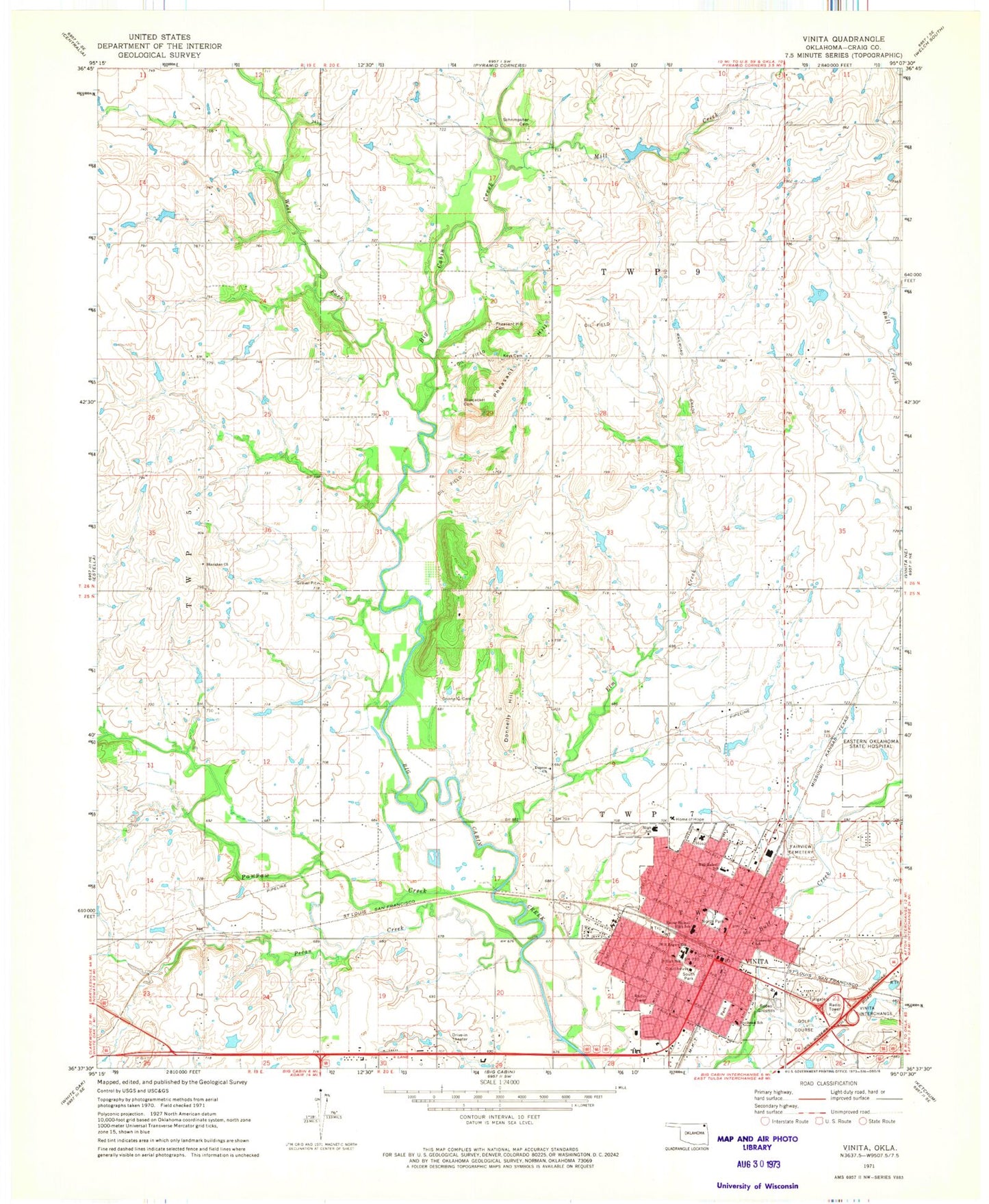
Classic USGS Vinita Oklahoma 7.5'x7.5' Topo Map
Couldn't load pickup availability
Historical USGS topographic quad map of Vinita in the state of Oklahoma. Map scale may vary for some years, but is generally around 1:24,000. Print size is approximately 24" x 27"
This quadrangle is in the following counties: Craig.
The map contains contour lines, roads, rivers, towns, and lakes. Printed on high-quality waterproof paper with UV fade-resistant inks, and shipped rolled.
Contains the following named places: Bluejacket Cemetery, Bull Creek Center, Bull Creek Shopping Center, Carters Shopping Center, Catholic Church, Church of the Nazarene, City of Vinita, Craig County Jail, Craig County Sheriff's Office, Donnelly Cemetery, Donnelly Hill, Dupree Church, Elm Creek, Ewing Halsell Middle School, Fairview Cemetery, First Baptist Church SBC, First Baptist Church-SBC, First Christian Church, First Church of God, First United Methodist Church, Green Country Christian Church, Hall - Halsell Elementary School, Home of Hope, Ketchum Police Department, Keys Cemetery, KGND-FM (Ketchum), KVIN-AM (Vinita), Mercy Regional Emergency Medical Services - Craig County, Messiah Lutheran Church, Mill Creek, North Park, Oklahoma State Highway Patrol - Troop L, Pawpaw Creek, Pecan Creek, Pentecostal Church of God, Pentecostal House of Prayer Church, Pheasant Hill, Pheasant Hill Cemetery, Pilgrim Presbyterian Church, Riverside School, Saint Francis Hospital - Vinita, Saint Johns Episcopal Church, Schrimpsher Cemetery, Seventh Day Adventist Church, Shanahan Church, South Park, Southeast School, Thomas Cemetery, Trinity Baptist Church, United Pentecostal Church, Vineyard Christian Fellowship Church, Vinita, Vinita Fire Department, Vinita High School, Vinita Middle School, Vinita Police Department, Vinita Post Office, West Fork Big Cabin Creek, Will Rogers Elementary School, ZIP Code: 74301


