MyTopo
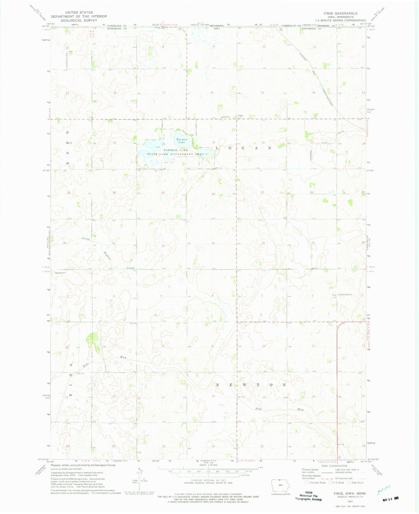
Classic USGS Vinje Iowa 7.5'x7.5' Topo Map
Couldn't load pickup availability
Historical USGS topographic quad map of Vinje in the state of Iowa. Map scale may vary for some years, but is generally around 1:24,000. Print size is approximately 24" x 27"
This quadrangle is in the following counties: Faribault, Freeborn, Winnebago.
The map contains contour lines, roads, rivers, towns, and lakes. Printed on high-quality waterproof paper with UV fade-resistant inks, and shipped rolled.
Contains the following named places: Bethel Cemetery, Bethel Church, Deering Post Office, Grytte Post Office, Harmon Lake, Harmon Lake State Game Management Area, Holmes Chapel Cemetery, Nasheim Post Office, North Prairie Cemetery, North Prairie Church, Township of Logan, Township of Newton, Tweten Post Office, Vinje, Vinje Post Office, Winnebago County, ZIP Code: 50473