MyTopo
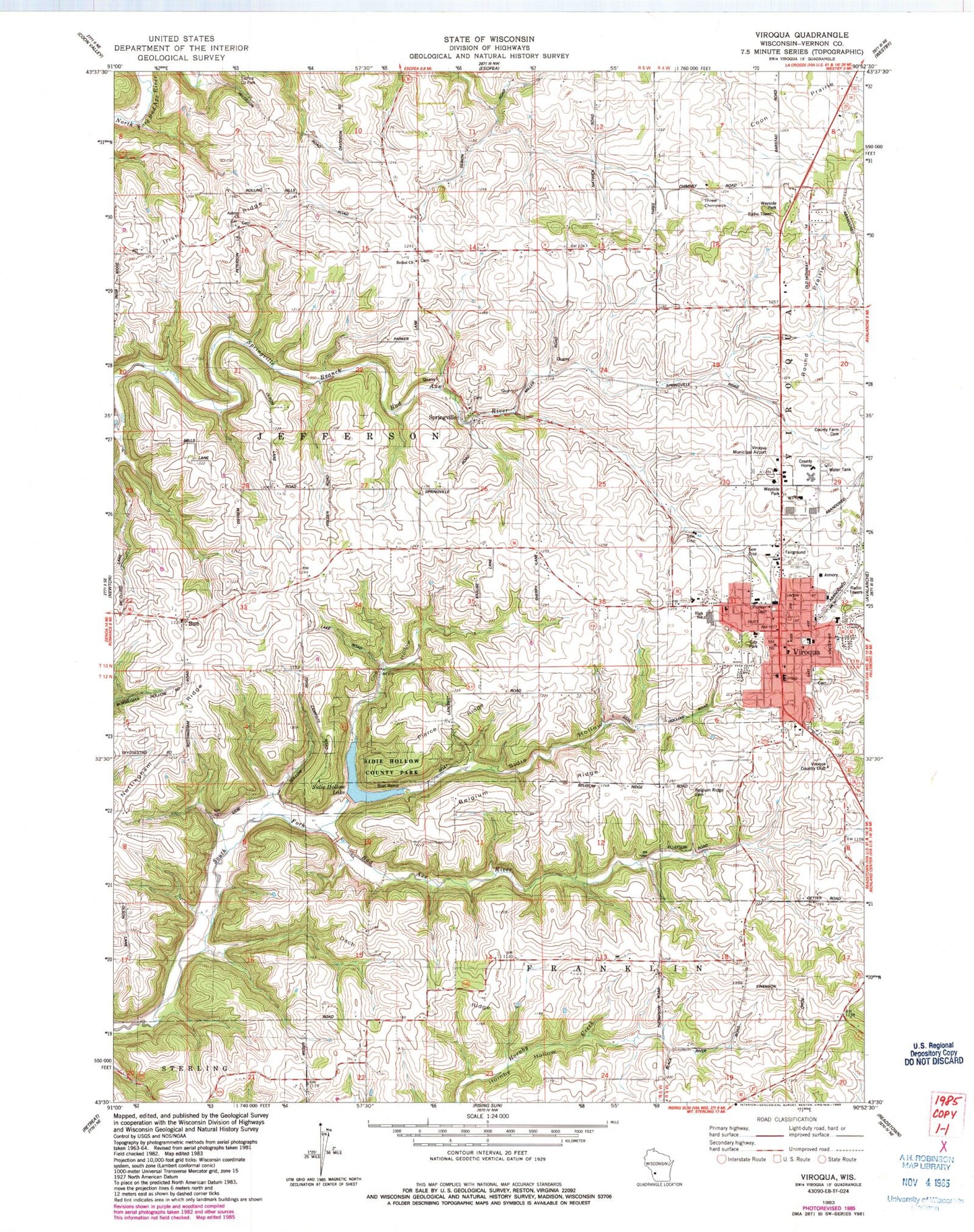
Classic USGS Viroqua Wisconsin 7.5'x7.5' Topo Map
Couldn't load pickup availability
Historical USGS topographic quad map of Viroqua in the state of Wisconsin. Map scale may vary for some years, but is generally around 1:24,000. Print size is approximately 24" x 27"
This quadrangle is in the following counties: Vernon.
The map contains contour lines, roads, rivers, towns, and lakes. Printed on high-quality waterproof paper with UV fade-resistant inks, and shipped rolled.
Contains the following named places: 3 Reservoir, 54665, 7 Reservoir, Asbury Church, Bad Axe 2 D 2592.1 Dam, Bad Axe 33 D 2592.1 Dam, Bad Axe 34 D 2592.1 Dam, Belgium Ridge, Belgium Ridge Cemetery, Belgium Ridge School, Believers Fellowship Church, Bethel Church, Bethlehem Baptist Church, Bud, Church of the Nazarene, City of Viroqua, Coe Hollow, Colonel May School, Coon Prairie, Cornerstone Christian Academy, County Farm Cemetery, Dach Ridge, Datch Ridge School, Davis School, English Evangelical Lutheran Church, English Lutheran School, Freedom Worship Center, Good Shepherd Lutheran Church, Hornby Creek, Immanuel Lutheran Church, Irish Ridge, Kingdom Hall of Jehovahs Witnesses, Lighthouse Baptist Church, Love Tabernacle, Mills School, North Springville School, Nottingham Ridge, Pierce Ridge, Pioneer Cemetery, Pleasant Ridge Waldorf School, Round Prairie, Round Prairie School, Saint Marys Catholic Church, Sidie Hollow, Sidie Hollow County Park, Sidie Hollow Lake, South Natwick School, Springville, The Church of Jesus Christ of Latter Day Saints, Three Chimneys, Town of Jefferson, Tri - State Ambulance - Viroqua, Vernon County Area Better Futures High School, Vernon County Asylum, Vernon County Detention Center, Vernon County Sheriff's Office, Vernon Memorial Health Care, Viroqua, Viroqua Christian School, Viroqua Country Club, Viroqua Elementary School, Viroqua Fire Department, Viroqua High School, Viroqua Middle School, Viroqua Municipal Airport, Viroqua Police Department, Viroqua Post Office, Western Technical College - Viroqua Campus, White School, Youth Initiative High School


