
MyTopo
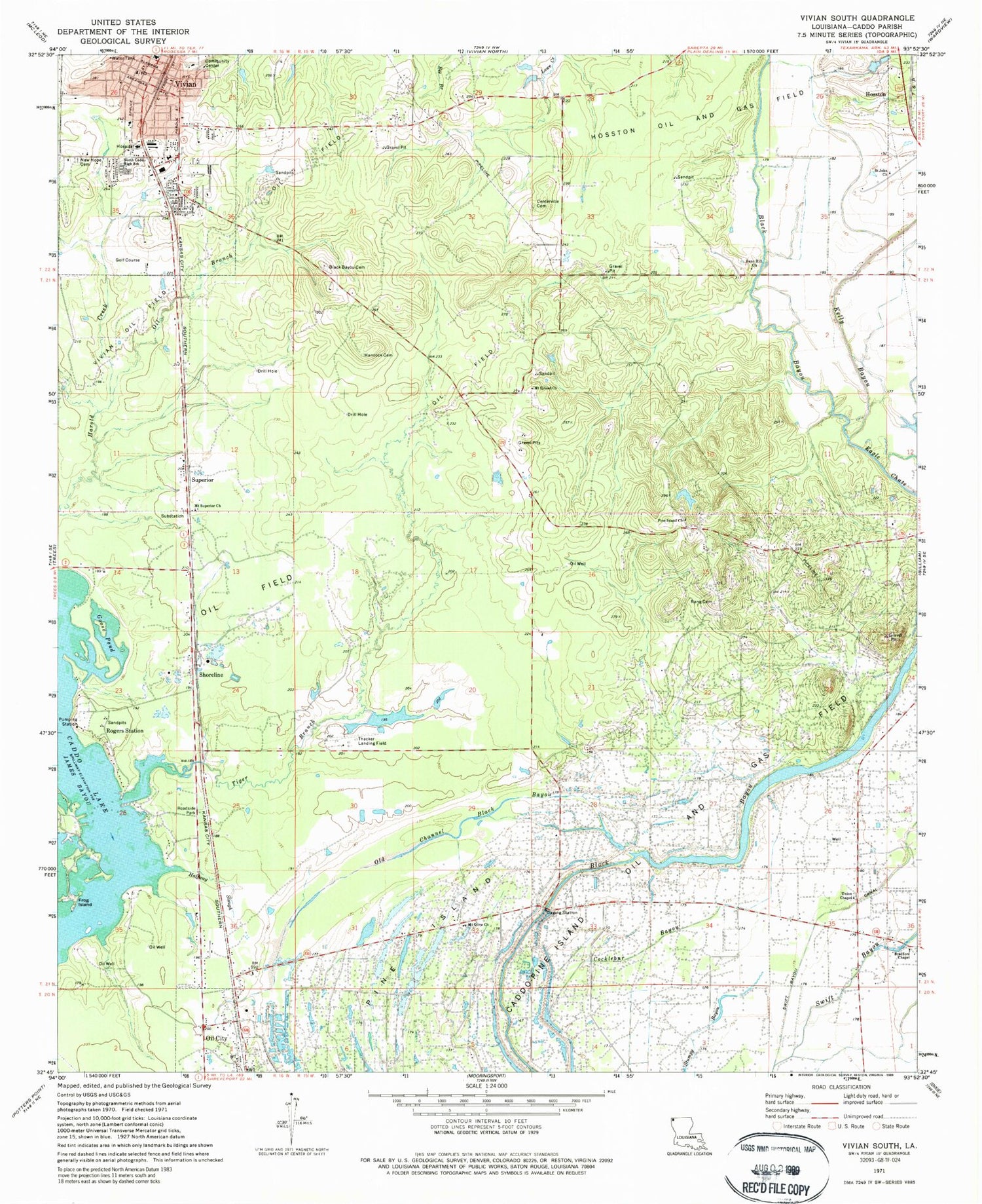
Classic USGS Vivian South Louisiana 7.5'x7.5' Topo Map
Couldn't load pickup availability
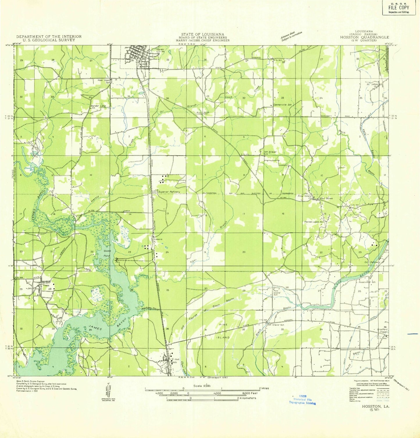
Historical USGS topographic quad map of Vivian South in the state of Louisiana. Map scale may vary for some years, but is generally around 1:24,000. Print size is approximately 24" x 27"
This quadrangle is in the following counties: Caddo.
The map contains contour lines, roads, rivers, towns, and lakes. Printed on high-quality waterproof paper with UV fade-resistant inks, and shipped rolled.
Contains the following named places: Black Bayou, Black Bayou Cemetery, Bradford Chapel, Brent, Caddo, Caddo Parish Fire District 8, Caddo-Pine Island Oil and Gas Field, Centerville Cemetery, Cocklebur Bayou, Eagle Chute, Frog Island, Goose Pond, Halfway Slough, Harrell - Harrison Cemetery, Kelly Bayou, Mail Boxes, Mount Gilead, Mount Gilead Church, Mount Olive Church, Mount Superior Church, Nazarene Church, New Hope Cemetery, New Hope Church, North Caddo Magnet High School, North Caddo Medical Center, Oil Branch, Old Channel Black Bayou, Parish Governing Authority District 1, Pine Island, Pine Island Church, Raines Lease Cemetery, Reno Hill Church, Rogers Station, Rosenwald School, Saint John Church, Shoreline, Superior, Swift Bayou Canal, Thackers Airport, Tiger Branch, Town of Vivian, Union Chapel, Vivian, Vivian Police Department, Vivian Post Office, Ward Two, ZIP Codes: 71061, 71082