MyTopo
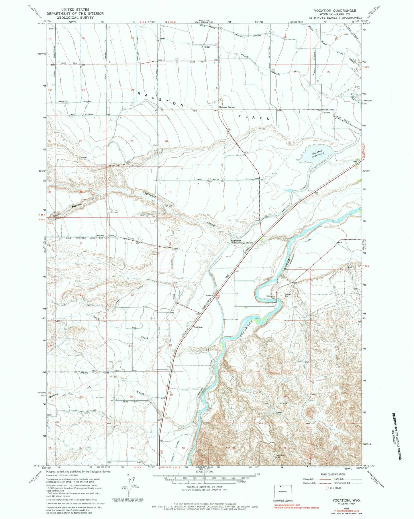
Classic USGS Vocation Wyoming 7.5'x7.5' Topo Map
Couldn't load pickup availability
Historical USGS topographic quad map of Vocation in the state of Wyoming. Map scale may vary for some years, but is generally around 1:24,000. Print size is approximately 24" x 27"
This quadrangle is in the following counties: Park.
The map contains contour lines, roads, rivers, towns, and lakes. Printed on high-quality waterproof paper with UV fade-resistant inks, and shipped rolled.
Contains the following named places: Buck Creek, Eaglenest, Eaglenest Creek, Emma Lanchbury Dam, Emma Lanchbury Reservoir, Garland Canal, Heart Mountain Relocation Center, Iron Creek, Kamms Corner, Lateral H-103, Lateral H-105, Lateral H-79, Lateral H-89, Question Creek, Ralston Census Designated Place, Ralston Lateral, Ralston Reservoir, South Eaglenest Creek, Vocation, Willwood Diversion Dam