MyTopo
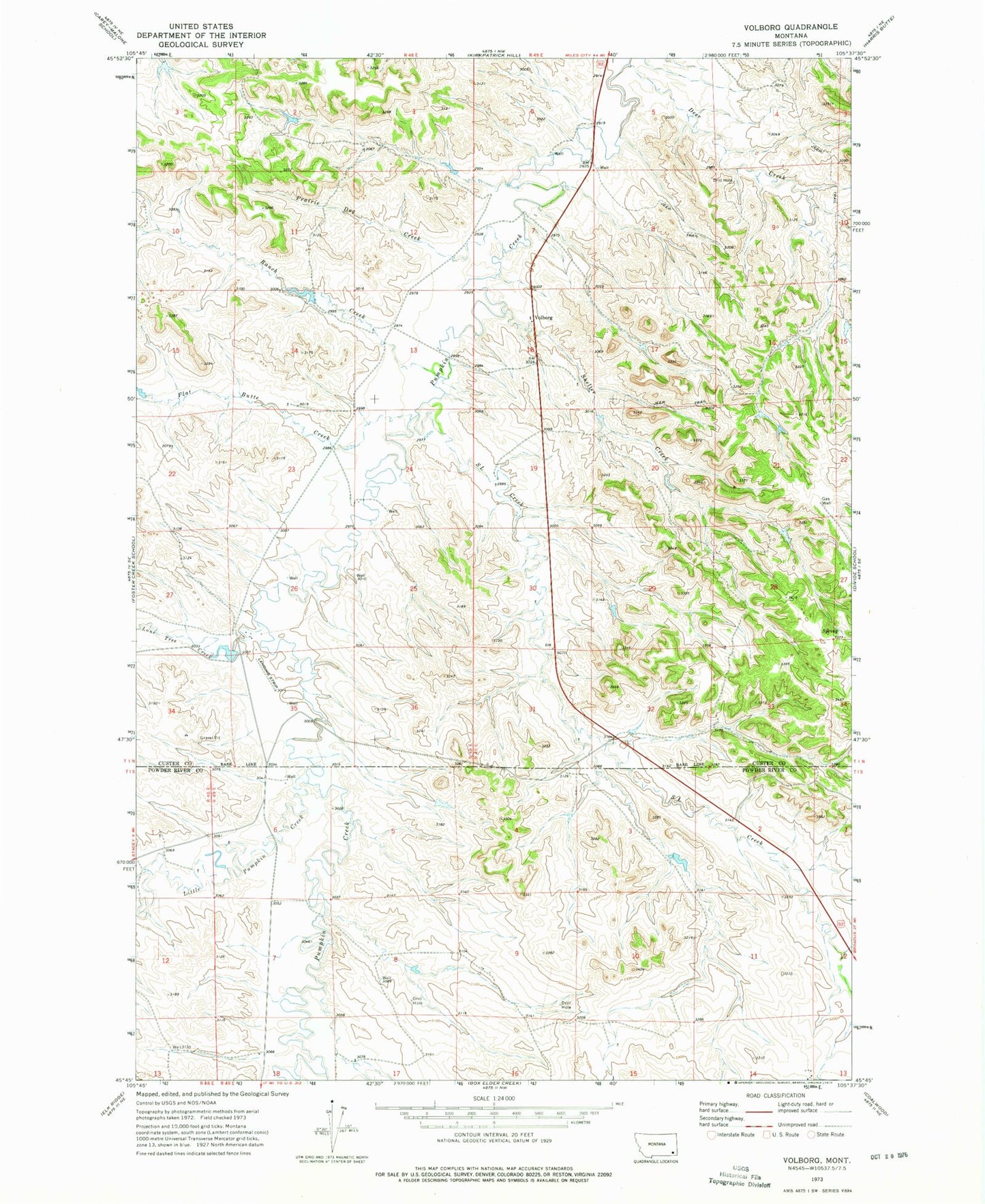
Classic USGS Volborg Montana 7.5'x7.5' Topo Map
Couldn't load pickup availability
Historical USGS topographic quad map of Volborg in the state of Montana. Map scale may vary for some years, but is generally around 1:24,000. Print size is approximately 24" x 27"
This quadrangle is in the following counties: Custer, Powder River.
The map contains contour lines, roads, rivers, towns, and lakes. Printed on high-quality waterproof paper with UV fade-resistant inks, and shipped rolled.
Contains the following named places: 01N48E22ACBB01 Well, 01N49E18BDAA01 Well, 01N49E30DBBC01 Well, 01S48E13ACAB01 Well, 01S48E20DCAC01 Well, 01S49E09CBAD01 Well, 01S49E14ADCD01 Well, 01S49E18ADAC01 Well, Allen Number 6 Dam, Deer Creek, Flat Butte Creek, Little Pumpkin Creek, Lone Tree Creek, Prairie Dog Creek, Ranch Creek, S L Creek, Sand Coulee, Shelter Creek, Volborg, Volborg Post Office