MyTopo
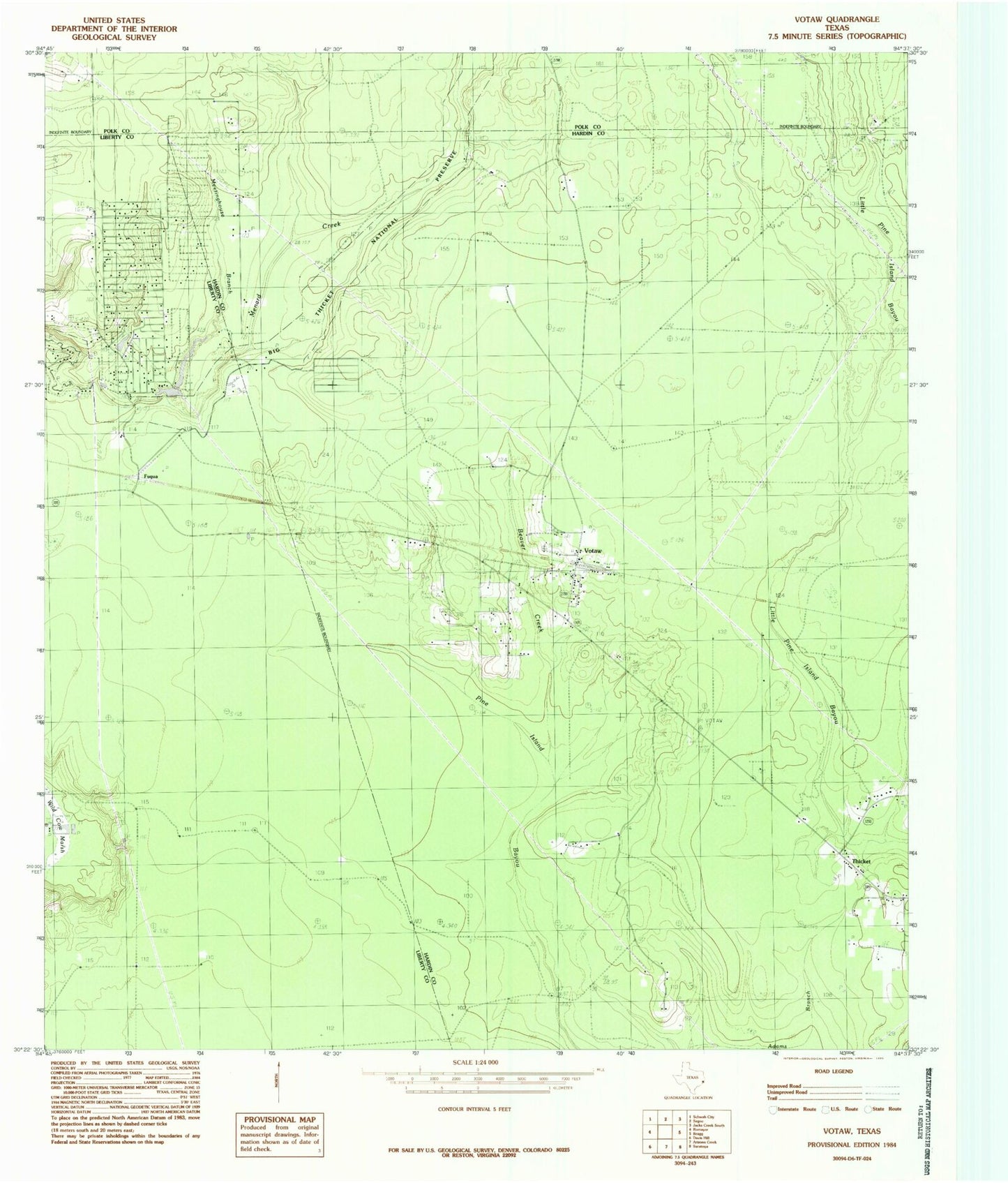
Classic USGS Votaw Texas 7.5'x7.5' Topo Map
Couldn't load pickup availability
Historical USGS topographic quad map of Votaw in the state of Texas. Map scale may vary for some years, but is generally around 1:24,000. Print size is approximately 24" x 27"
This quadrangle is in the following counties: Hardin, Liberty, Polk.
The map contains contour lines, roads, rivers, towns, and lakes. Printed on high-quality waterproof paper with UV fade-resistant inks, and shipped rolled.
Contains the following named places: Beaver Creek, Fuqua, Hoop and Holler, Hoop and Holler Lake Number 1, Hoop and Holler Lake Number 1 Dam, Meetinghouse Branch, Thicket, Thicket Post Office, Votaw, Votaw - Thicket Volunteer Fire Department, Votaw Post Office, Wild Cow Marsh, Woodpecker Volunteer Fire Department, ZIP Codes: 77369, 77376