MyTopo
Classic USGS Vox Kentucky 7.5'x7.5' Topo Map
Couldn't load pickup availability
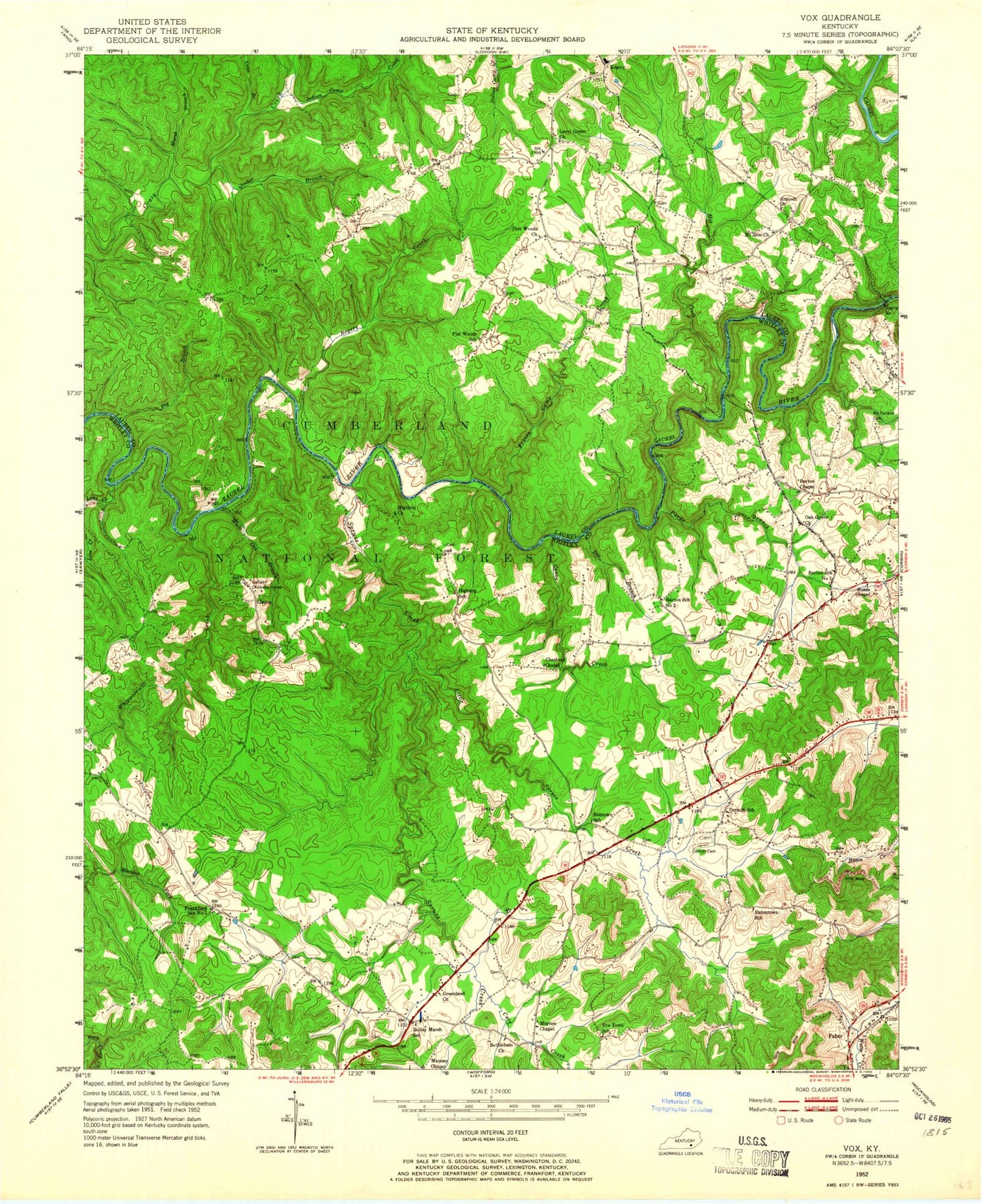
Historical USGS topographic quad map of Vox in the state of Kentucky. Typical map scale is 1:24,000, but may vary for certain years, if available. Print size: 24" x 27"
This quadrangle is in the following counties: Laurel, Whitley.
The map contains contour lines, roads, rivers, towns, and lakes. Printed on high-quality waterproof paper with UV fade-resistant inks, and shipped rolled.
Contains the following named places: Antioch Church, Barton Chapel Church of God, Bethlehem Church, Big Branch, Bobtown School, Cane Branch, Carr Creek, Chestnut Chapel, Conoe Creek, Corinth Cemetery, Corinth School, Dix Branch, Eatontown School, Flat Woods Church, Flat Woods School, Frozen Camp Creek, Galilean Childrens Home, Greenland Baptist Church, Grove, Hightop Church, Hightop School, Holley Marsh School, Indian Camp Creek, Laurel River Lake, Level Green Missionary Baptist Church, Line Creek, Little Spruce Creek, Marsh Branch, Mauney Chapel, Maynes Chapel, McFarland Cemetery, Mill Creek, Mount Zion Church, Oak Grove Church, Parks Branch, Quaker Branch, Rogers Creek, Spruce Creek, Steele Chapel, Tye Town School, Vox, Whippoorwill Creek, White Oak Branch, Barton School Number 1, Barton School Number 2, Frankford School Number 1, Corbin Division, Bobtown Church, Corinth Baptist Church, Corbin Speedway, Oak Grove School, Grove Boat-in Camp, Grove Recreation Area, White Oak Campground, White Oak Boat-in Camp, Frankford Baptist Church, Legal Post Office (historical), Oak Grove Volunteer Fire Department, Woodland Estates, Bartons Mill (historical), Chestnut Grove (historical), Chestnut Grove Cemetery, Hightop Boatramp, Scuffletown, Auger Springs Picnic Area, Flat Woods Boat Ramp


