MyTopo
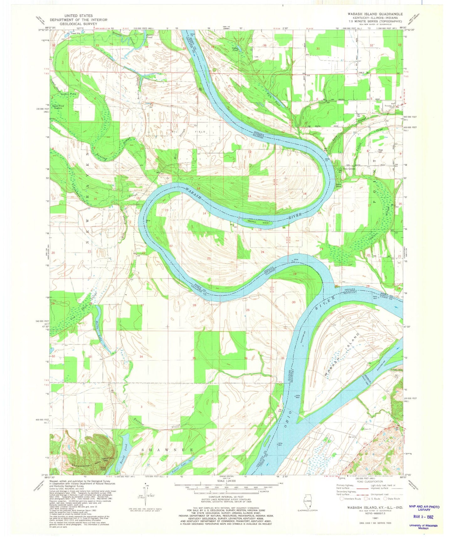
Classic USGS Wabash Island Kentucky 7.5'x7.5' Topo Map
Couldn't load pickup availability
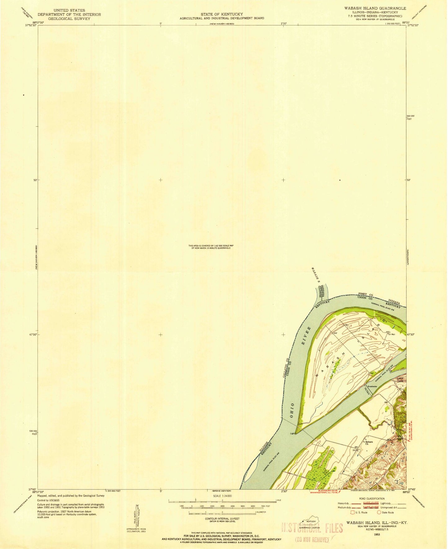
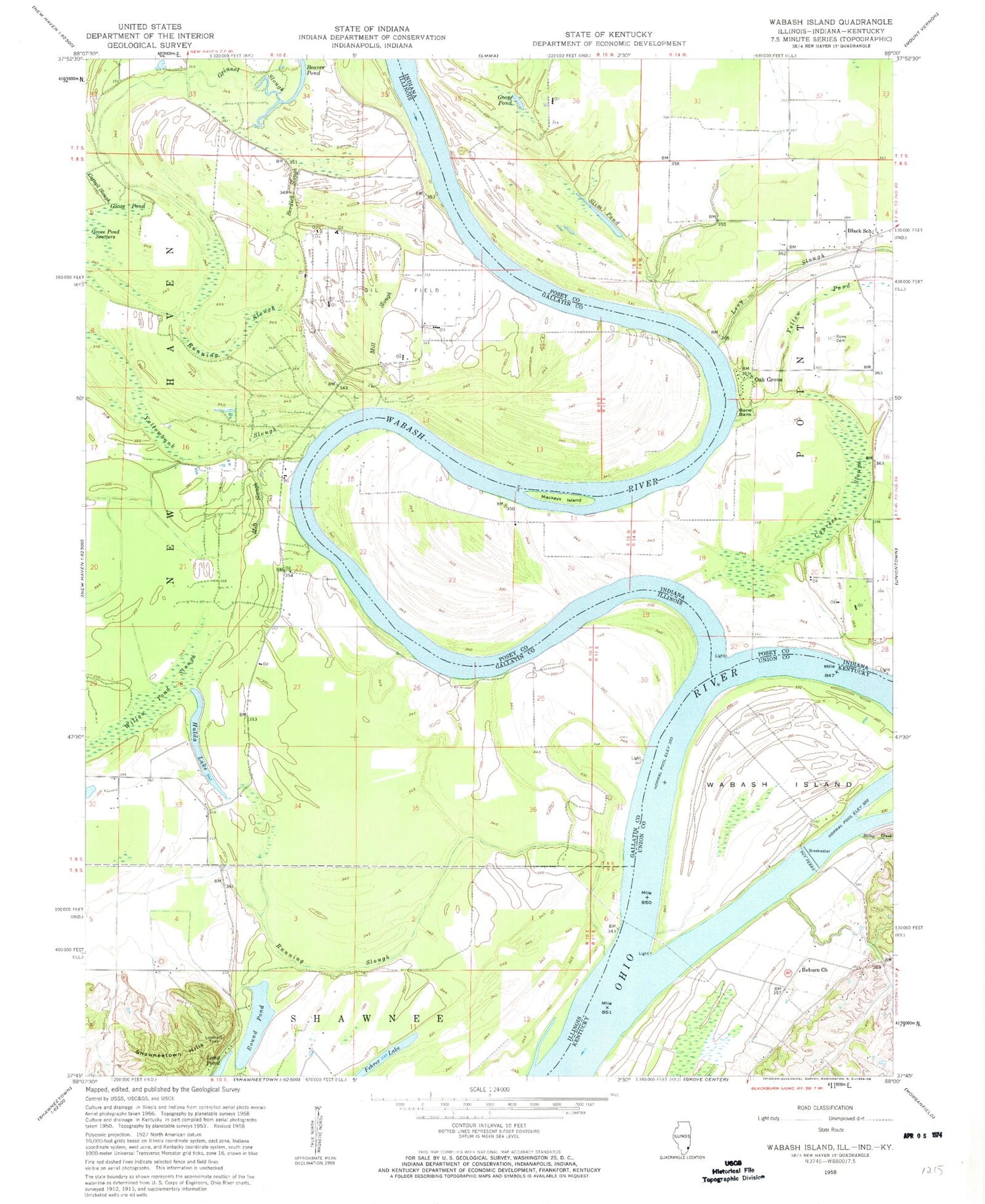
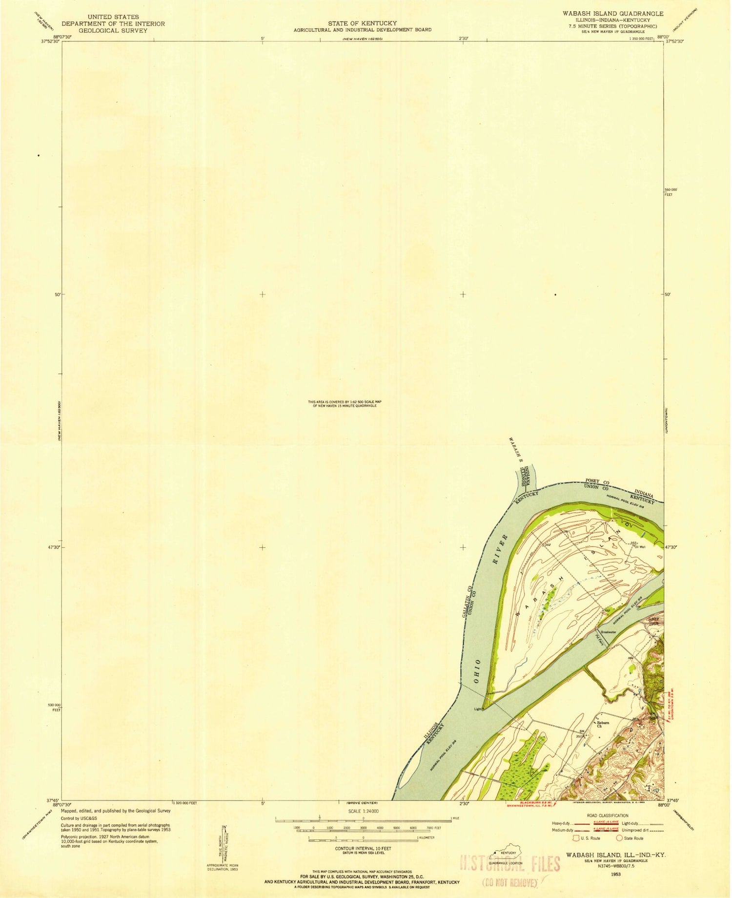
Historical USGS topographic quad map of Wabash Island in the states of Kentucky, Illinois, Indiana. Map scale may vary for some years, but is generally around 1:24,000. Print size is approximately 24" x 27"
This quadrangle is in the following counties: Gallatin, Posey, Union.
The map contains contour lines, roads, rivers, towns, and lakes. Printed on high-quality waterproof paper with UV fade-resistant inks, and shipped rolled.
Contains the following named places: Beaver Pond, Berdick Slough, Black School, Bone Bank, Cypress Slough, Fehrer Lake, Goose Pond, Goose Pond Scatters, Grinnel Slough, Hulda Lake, Levy Slough, Long Pond, Mackeys Island, Mill Slough, Oak Grove, Reburn Church, Reyburn, Round Pond, Rowe Cemetery, Running Slough, Sibley Creek, Slim Pond, Township of New Haven, Wabash Island, Wabash River, Willow Pond Slough, Yellowbank Slough