MyTopo
Classic USGS Wadboo Swamp South Carolina 7.5'x7.5' Topo Map
Couldn't load pickup availability
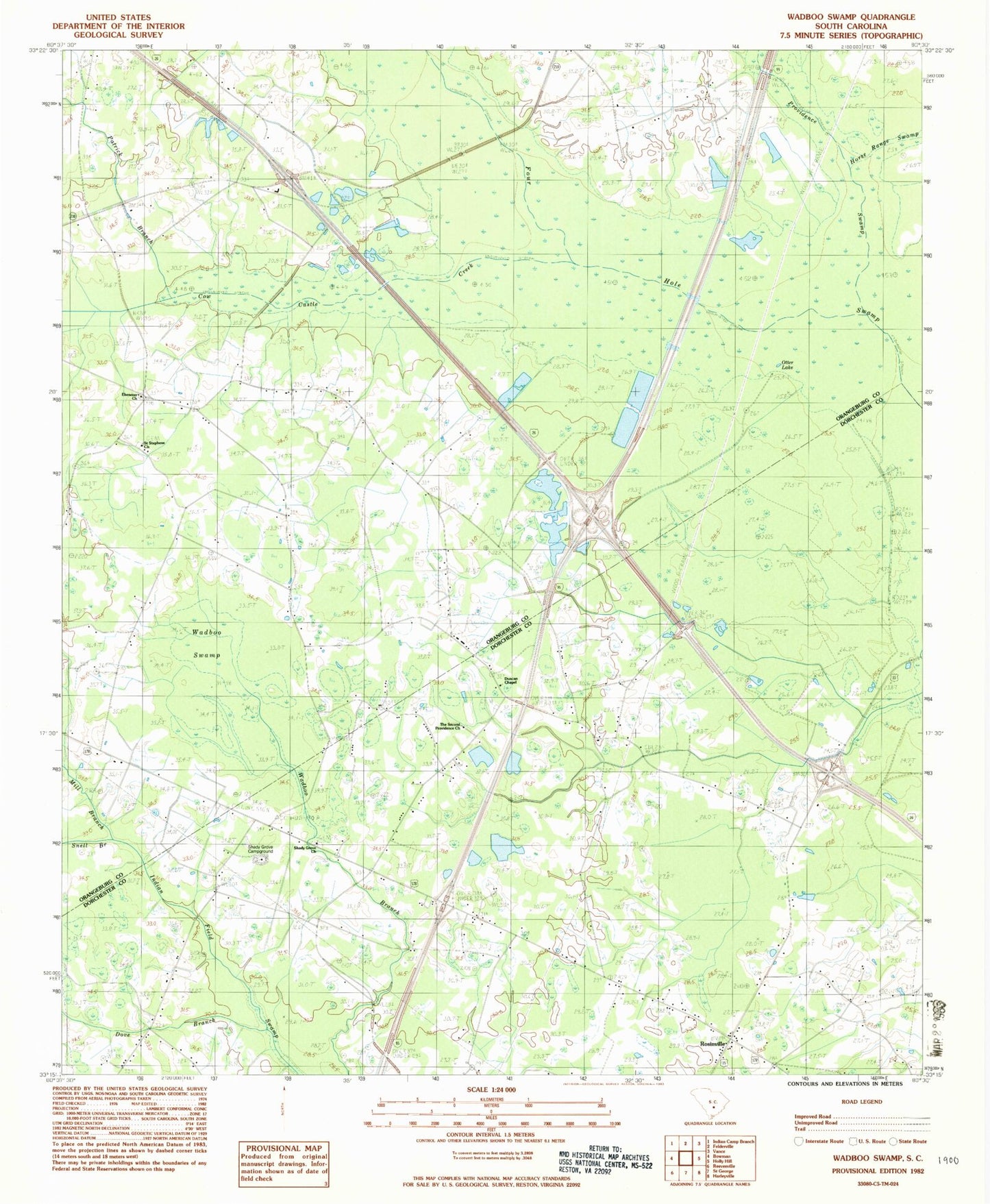
Historical USGS topographic quad map of Wadboo Swamp in the state of South Carolina. Map scale may vary for some years, but is generally around 1:24,000. Print size is approximately 24" x 27"
This quadrangle is in the following counties: Dorchester, Orangeburg.
The map contains contour lines, roads, rivers, towns, and lakes. Printed on high-quality waterproof paper with UV fade-resistant inks, and shipped rolled.
Contains the following named places: Bowman Fire Department Station 2, Brown School, Campmeeting Grounds, Cow Castle Creek, Dawkins Chapel, Duncan Chapel, Duncan Chapel Cemetery, Duncan School, Ebenezer Cemetery, Ebenezer Church, Enterprise School, Hill Branch School, Hill School, Horse Range Swamp, Indian Field Fire Department, Indian Field School, Jaques Dairy, Knight School, Mill Branch, Otter Lake, Patrick Branch, Providence Swamp, Rosinville, Saint Stephens Church, Shady Grove Campground, Shady Grove Church, Snell Branch, Stephens School, The Second Providence Church, Wadboo Swamp, Whetsell