MyTopo
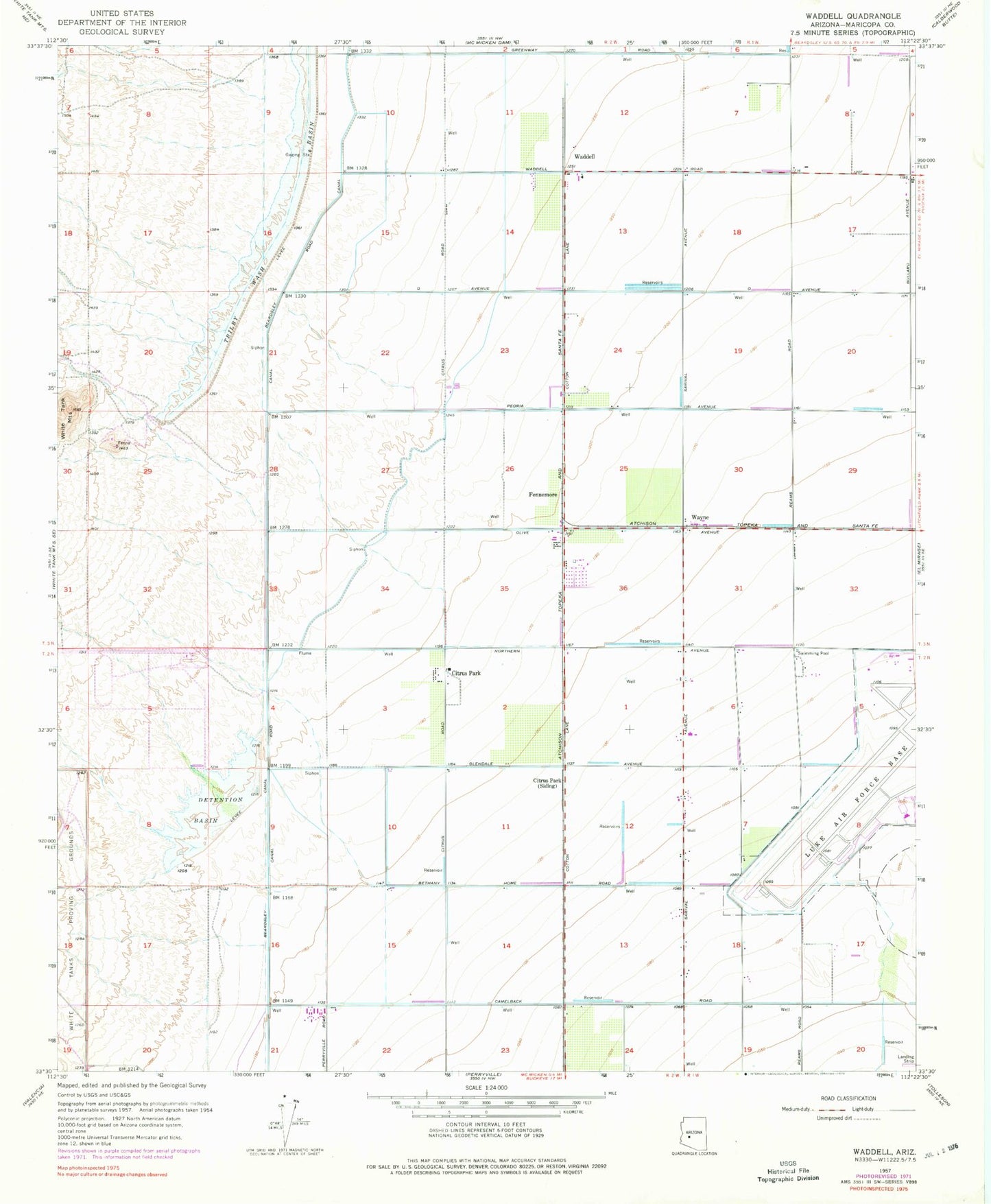
Classic USGS Waddell Arizona 7.5'x7.5' Topo Map
Couldn't load pickup availability
Historical USGS topographic quad map of Waddell in the state of Arizona. Map scale may vary for some years, but is generally around 1:24,000. Print size is approximately 24" x 27"
This quadrangle is in the following counties: Maricopa.
The map contains contour lines, roads, rivers, towns, and lakes. Printed on high-quality waterproof paper with UV fade-resistant inks, and shipped rolled.
Contains the following named places: Ashton Ranch Elementary School, Beardsley Canal Wash, Bedrock Wash, Buckeye Valley Fire District Station 321, Cholla Wash, Citrus Park, Citrus Park Census Designated Place, Cotton Lane Community Church, Countryside Elementary School, Coyner Airstrip, Detention Basin, Diversion Dike Wash, Falcon Golf Club, Fennemore, Fennemore Railroad Station, Luke Air Force Base, Luke Golf Course, Marley Park Elementary School, Mountain View School, North Fork Bedrock Wash, Parkway Christian Church, Perryville Road Wash, Rancho Gabriela Elementary School, Sierra Montana Recreation Center, Sonoran Heights Elementary School, Sunset Hills Elementary School, Surprise Fire Department Station 303, Surprise Fire Department Station 305, Surprise Fire Department Station 307, The Church of Jesus Christ of Latter Day Saints, Waddell, Waddell Post Office, Waddell Substation, Waterfall Wash, Wayne, White Tank Number Three Wash, Wildlife World Zoo, ZIP Codes: 85309, 85340, 85355, 85388


