MyTopo
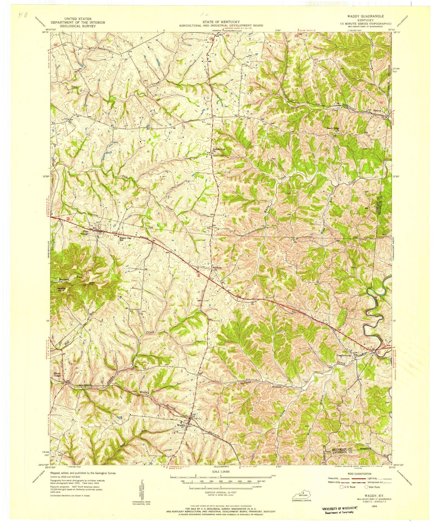
Classic USGS Waddy Kentucky 7.5'x7.5' Topo Map
Couldn't load pickup availability
Historical USGS topographic quad map of Waddy in the state of Kentucky. Map scale may vary for some years, but is generally around 1:24,000. Print size is approximately 24" x 27"
This quadrangle is in the following counties: Anderson, Franklin, Shelby.
The map contains contour lines, roads, rivers, towns, and lakes. Printed on high-quality waterproof paper with UV fade-resistant inks, and shipped rolled.
Contains the following named places: Ashland School, Ballard Branch, Beech Ridge Baptist Church, Beech Ridge Cemetery, Beech Ridge School, Bethel Baptist Church, Bethel Branch, Buffalo Lick Church, Clay Village, Clay Village Post Office, Cold Church, Cross Keys Tavern, Dalton School, Dutch Fork, East 60 Volunteer Fire Department, Gibbs Road, Goose Creek, Graefenburg, Harrisonville Division, Hatton, Hatton Post Office, Hemp Ridge, Hemp Ridge Airport, Hemp Ridge Railroad Station, Hempridge Post Office, Heritage Elementary School, Jeptha Knob, Jepthas Knob Historical Marker, Lawrence Post Office, Lewis and Clark Historical Marker, Little Benson School, Lone Oak School Number Fourteen, Mink Run, North Benson Railroad Station, Peytona, Peytona Post Office, Pleasant View Church, Roberts, Shelby County Poor House, Sulphur Springs School, Tylers Pioneer Station, Waddy, Waddy Branch, Waddy High School, Waddy Post Office, Waddy School, Waddy Volunteer Fire Department, Walnut Grove School, Watts Branch, Wolf Run School


