MyTopo
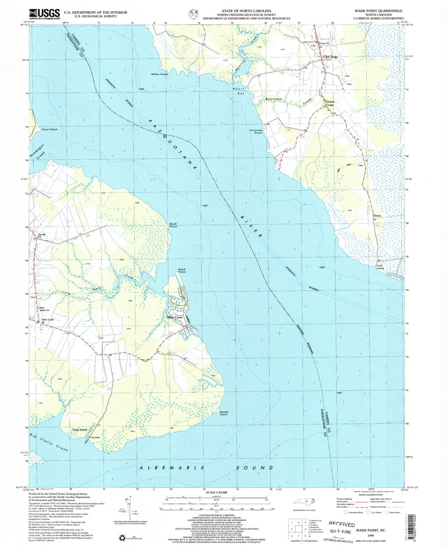
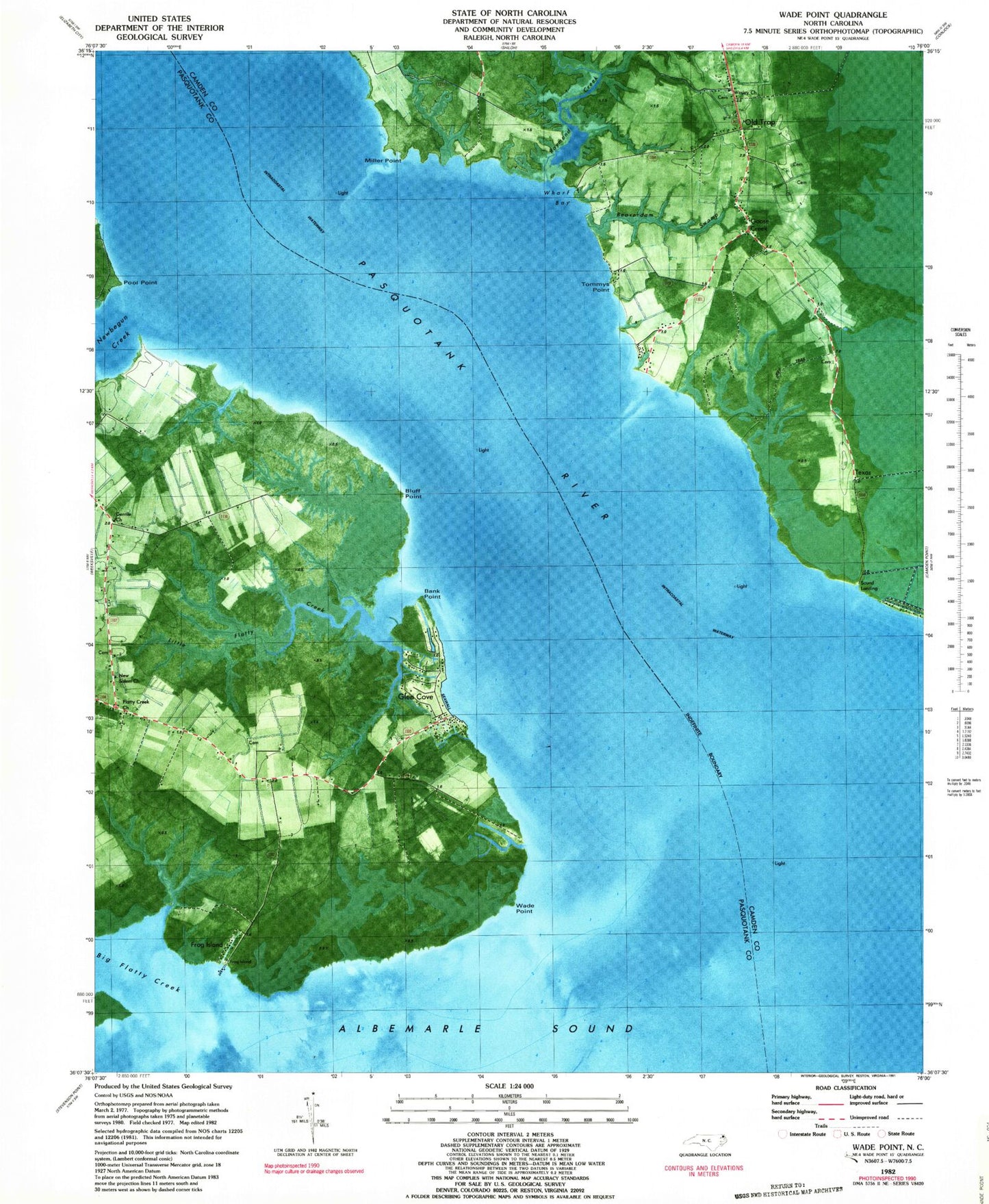
Classic USGS Wade Point North Carolina 7.5'x7.5' Topo Map
Couldn't load pickup availability
Historical USGS topographic quad map of Wade Point in the state of North Carolina. Map scale may vary for some years, but is generally around 1:24,000. Print size is approximately 24" x 27"
This quadrangle is in the following counties: Camden, Pasquotank.
The map contains contour lines, roads, rivers, towns, and lakes. Printed on high-quality waterproof paper with UV fade-resistant inks, and shipped rolled.
Contains the following named places: Bank Point, Banks - Fletcher - Lowry - Morse Cemetery, Beaverdam Swamp, Big Flatty Creek, Bluff Point, Flatty Creek Church, Frog Island, Frog Island Fishing Club, Gentile Church, Glen Cove, Goose Creek, Gray Swamp, Jeep Trail, Keaton Cemetery, Little Flatty Creek, Masequetuc, Meads Corner, Miles Point, Miller Point, New Salem Church, Newbegun Creek, Old Trap, Pasquotank River, Pool Point, Poquoson Point, Pugh and Mitchell Cemetery, Raymond Creek, Sound Landing, Sound Neck, Stephen Delon Family Cemetery, Texas, Tommys Point, Township of Salem, Township of Shiloh, Wade Point, Wades Bluff, Weeksville Volunteer Fire Department Substation, Wesley Church, Wesley United Methodist Church Cemetery, Wharf Bay, Wilson Cemetery


