MyTopo
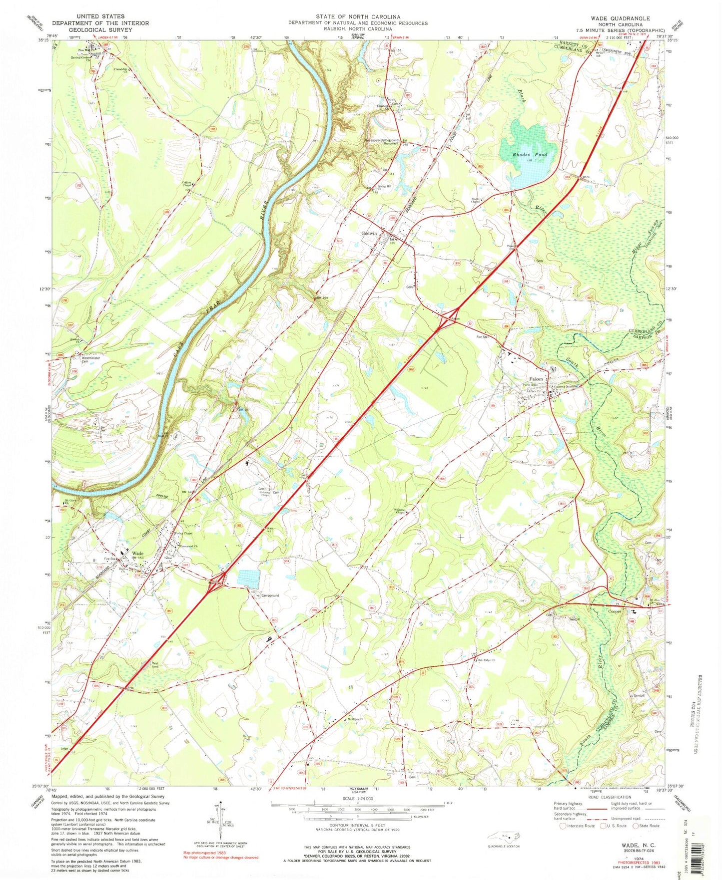
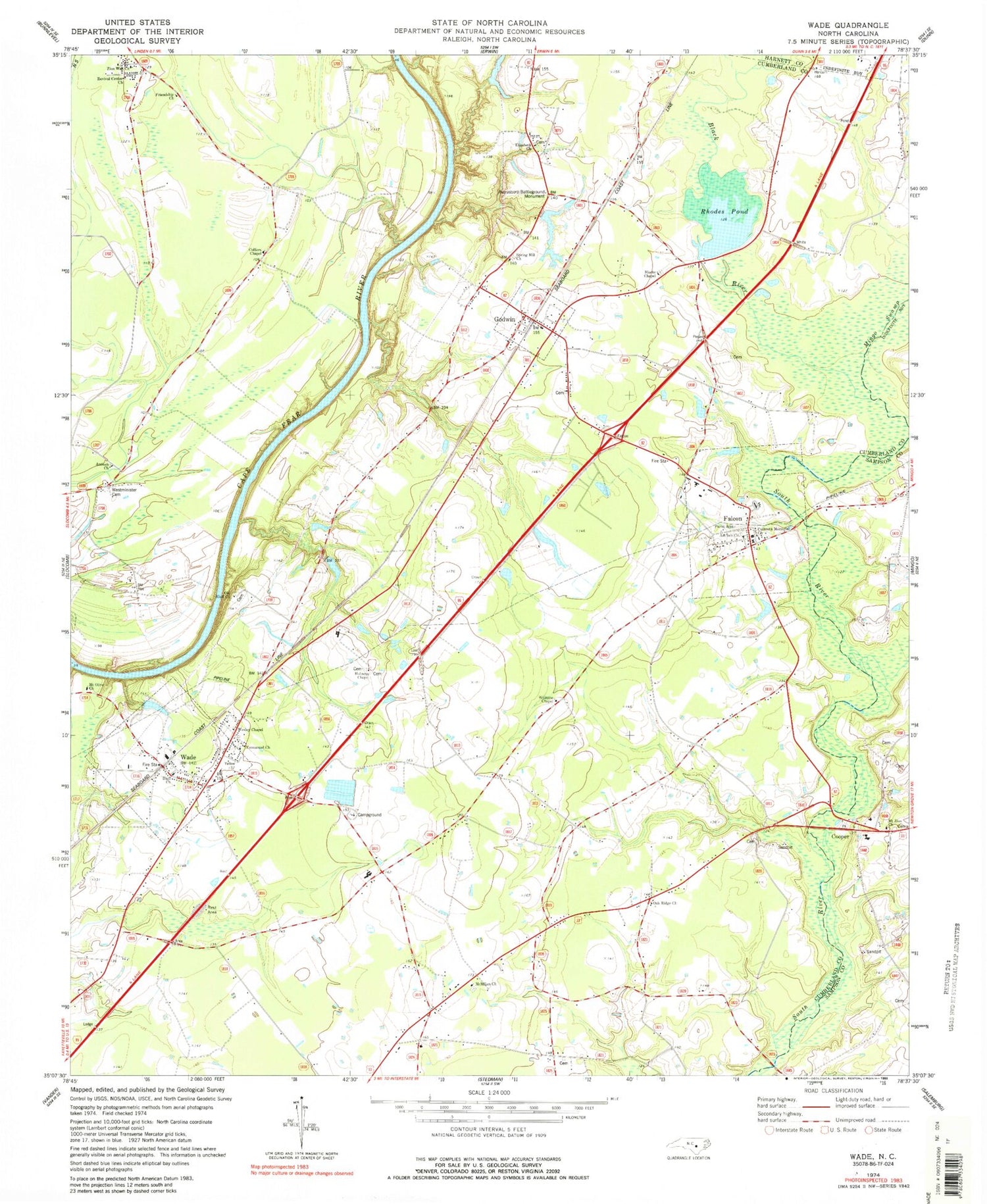
Classic USGS Wade North Carolina 7.5'x7.5' Topo Map
Couldn't load pickup availability
Historical USGS topographic quad map of Wade in the state of North Carolina. Map scale may vary for some years, but is generally around 1:24,000. Print size is approximately 24" x 27"
This quadrangle is in the following counties: Cumberland, Harnett, Sampson.
The map contains contour lines, roads, rivers, towns, and lakes. Printed on high-quality waterproof paper with UV fade-resistant inks, and shipped rolled.
Contains the following named places: Antioch Baptist Church Cemetery, Antioch Church, Averasboro Battleground Monument, Black River, Blacks Chapel, Black's Chapel United Methodist Church Cemetery, Bluff Church, Coharie State Designated Tribal Statistical Area, Colliers Chapel, Cooper, Culbreth Memorial Church, District Number 7 Elementary School, Elizabeth Church, Emmanuel Church, Falcon, Falcon Memorial Cemetery, Falcon Post Office, Friendship Church, Godwin, Godwin - Falcon Fire Department, Godwin Post Office, Grahams Bridge, Holiness Chapel, McMillan Church, Mingo Swamp, Mount Olive Church, Mount Zion Church, New Bridge, Oak Ridge Church, Old Bluff Church, Revival Center Church, Rhodes Pond, Rhodes Pond Dam, Spring Hill Church, Starling Bridge, Town of Falcon, Town of Godwin, Town of Wade, Township of Black River, Wade, Wade Community Fire Department, Wade Post Office, Wesley Chapel, Westminster Cemetery, WIDO-FM (Dunn), Williams Chapel, Williamson Swamp, Zion Wall Church, ZIP Codes: 28342, 28395


