MyTopo
Classic USGS Wadena Iowa 7.5'x7.5' Topo Map
Couldn't load pickup availability
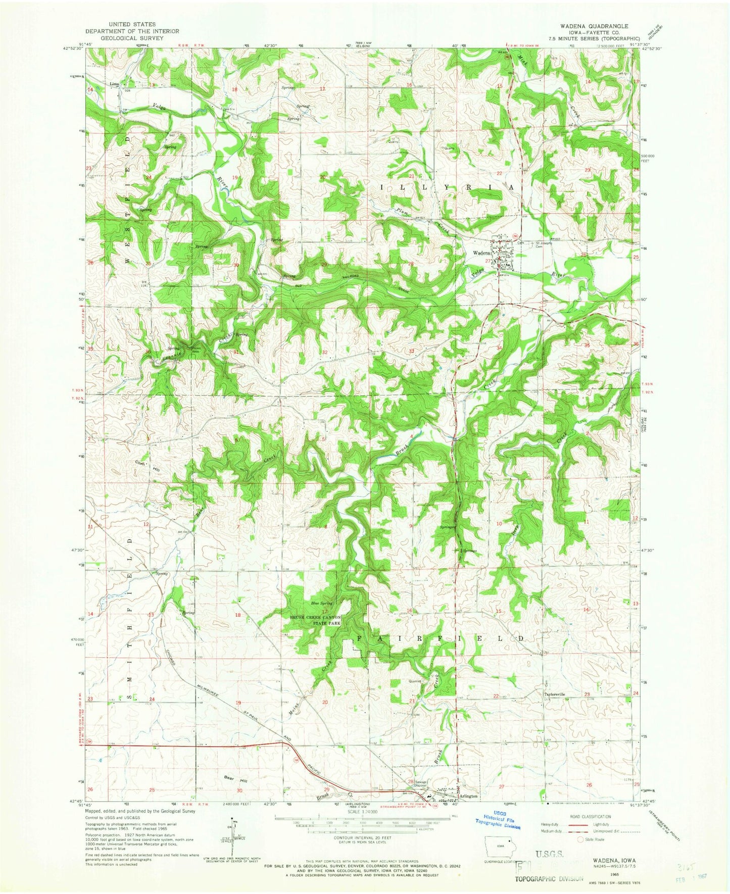
Historical USGS topographic quad map of Wadena in the state of Iowa. Map scale may vary for some years, but is generally around 1:24,000. Print size is approximately 24" x 27"
This quadrangle is in the following counties: Fayette.
The map contains contour lines, roads, rivers, towns, and lakes. Printed on high-quality waterproof paper with UV fade-resistant inks, and shipped rolled.
Contains the following named places: Arlington, Bear Creek, Bear Hill, Blue Spring, Brush Creek, Brush Creek Canyon State Park, City of Wadena, Corn Hill, Corn Hill Cemetery, Corn Hill Post Office, Grannis Creek, Grannis Creek Wildlife Management Area, Lima, Lima Cemetery, Lima Church, Lima Post Office, Mill Grove Post Office, Moine Creek, Plum Creek, Saint Josephs Cemetery, Taylorsville, Taylorsville Cemetery, Taylorsville Post Office, Township of Fairfield, Township of Illyria, Volga River Access, Wadena, Wadena - Illyria Fire Department, Wadena Cemetery, Wadena Christian Academy, Wadena City Hall, Wadena Community Presbyterian Church, Wadena Post Office, Wadena Public Library, ZIP Code: 52169