MyTopo
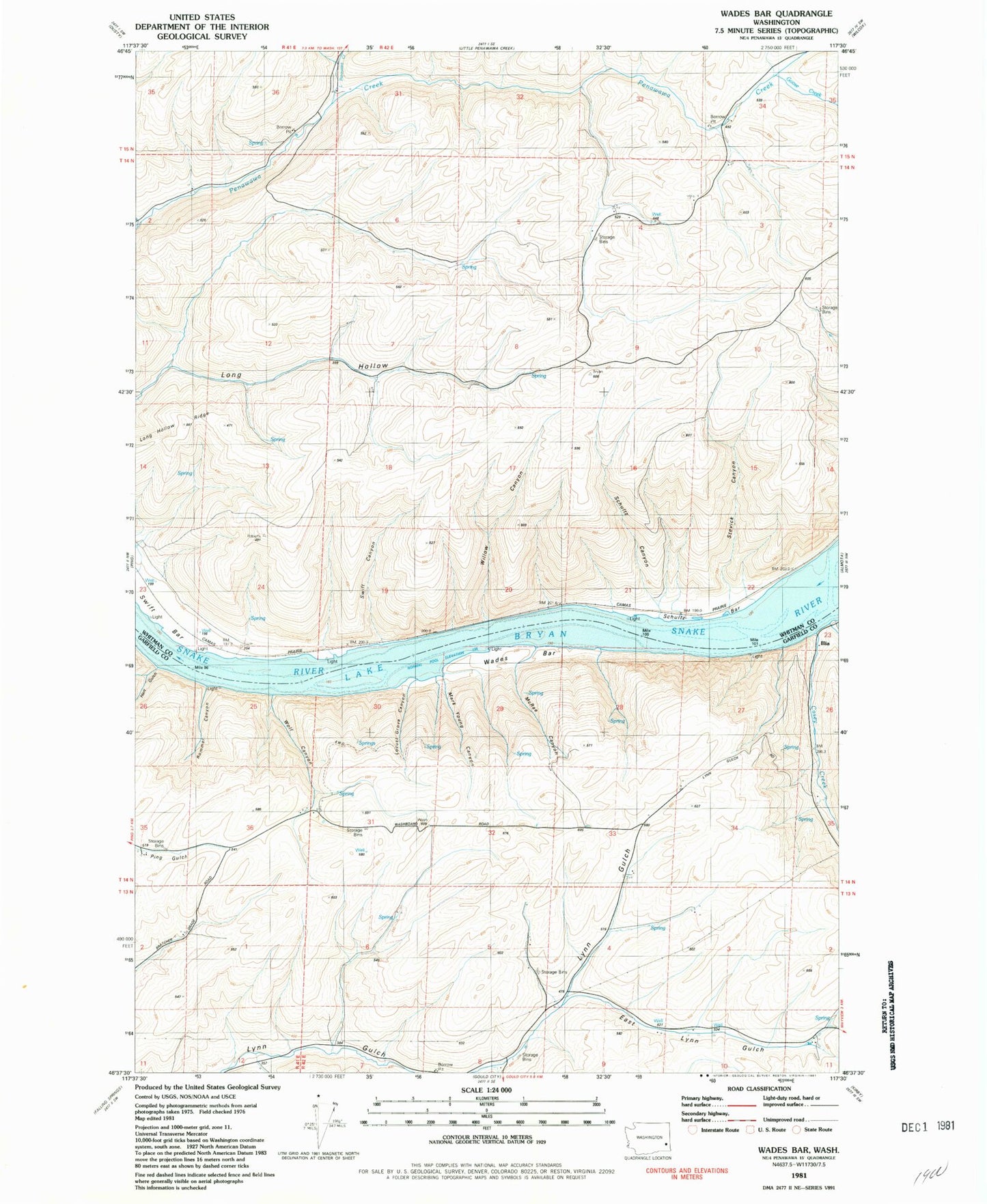
Classic USGS Wades Bar Washington 7.5'x7.5' Topo Map
Couldn't load pickup availability
Historical USGS topographic quad map of Wades Bar in the state of Washington. Map scale may vary for some years, but is generally around 1:24,000. Print size is approximately 24" x 27"
This quadrangle is in the following counties: Garfield, Whitman.
The map contains contour lines, roads, rivers, towns, and lakes. Printed on high-quality waterproof paper with UV fade-resistant inks, and shipped rolled.
Contains the following named places: Casey Creek, East Lynn Gulch, Goose Creek, Hart Gulch, Illia, Little Penawawa Creek, Locust Grove Canyon, Long Hollow Trail, Mark Young Canyon, McRae Canyon, Rommel Canyon, Schnaible Gulch, Schultz, Schultz Bar, Schultz Canyon, Stevick Canyon, Swift, Swift Bar, Swift Canyon, Swift Station, Wades Bar, Willow Canyon, Wolf Canyon