MyTopo
Classic USGS Wading River New York 7.5'x7.5' Topo Map
Couldn't load pickup availability
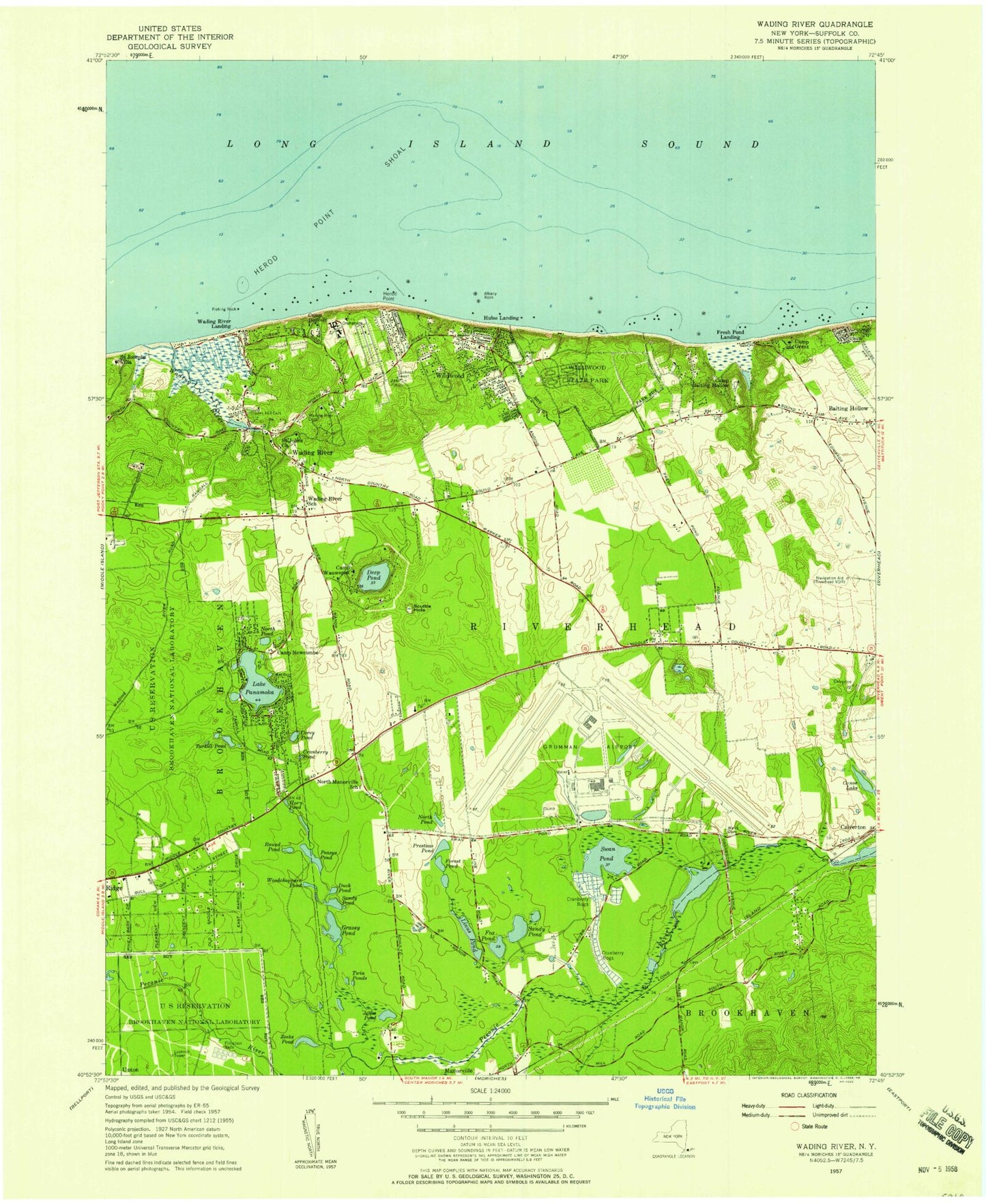
Historical USGS topographic quad map of Wading River in the state of New York. Typical map scale is 1:24,000, but may vary for certain years, if available. Print size: 24" x 27"
This quadrangle is in the following counties: Suffolk.
The map contains contour lines, roads, rivers, towns, and lakes. Printed on high-quality waterproof paper with UV fade-resistant inks, and shipped rolled.
Contains the following named places: Albany Rock, Camp DeWolf, Camp Grant, Camp Wauwepex, Conoe Lake, Corey Pond, Cranberry Pond, Deep Pond, Duck Pond, Fishing Rock, Forest Pond, Fox Pond, Grassy Pond, Herod Point Shoal, Horn Pond, Jones Pond, Linus Pond, McKay Lake, North Pond, North Pond, Oliver's Hill Cemetery, Lake Panamoka, Peasys Pond, Prestons Pond, Round Pond, Saint Johns Church, Saint Josephs Villa, Sandy Pond, Sandy Pond, Scuttle Hole, Swan Pond, Tarkill Pond, Twin Ponds, Wading River, Wading River, Wading River Cemetery, Wells Cemetery, Camp Baiting Hollow, Wildwood, Wildwood State Park, Woodchoppers Pond, Woodcliff Park, Zeeks Pond, Fresh Pond Landing, Hulse Landing, Wading River Landing, Calverton Executive Airpark, Herod Point, Brookhaven National Laboratory, Calverton National Cemetery, Swan Lake Golf Club, Babylon Rod and Gun Club Wildlife Preserve, Brookhaven State Park, Peconic River County Park, Nike Site NY-25C (historical), Nike Site NY-25L (historical), Pauquaconsuk (historical), Camp Newcombe (historical), Jericho Landing, West Landing, Calverton Census Designated Place, Wading River Census Designated Place, Thurms Mobile Homes, Ramblewood Mobile Home Park, Seven Ponds Orchard, Peconic River Herb Farm, Davis Peach Farm, Windy Acre Farm, Baiting Hollow Farm Vineyard, Will Miloski's Poultry Farm, Wading River Post Office, North Shore Public Library, Calverton Links, Great Rock Golf Club, Wading River Fire Department Headquarters, Ridge Fire Department Station 3, Wading River Fire Department Station 2


