MyTopo
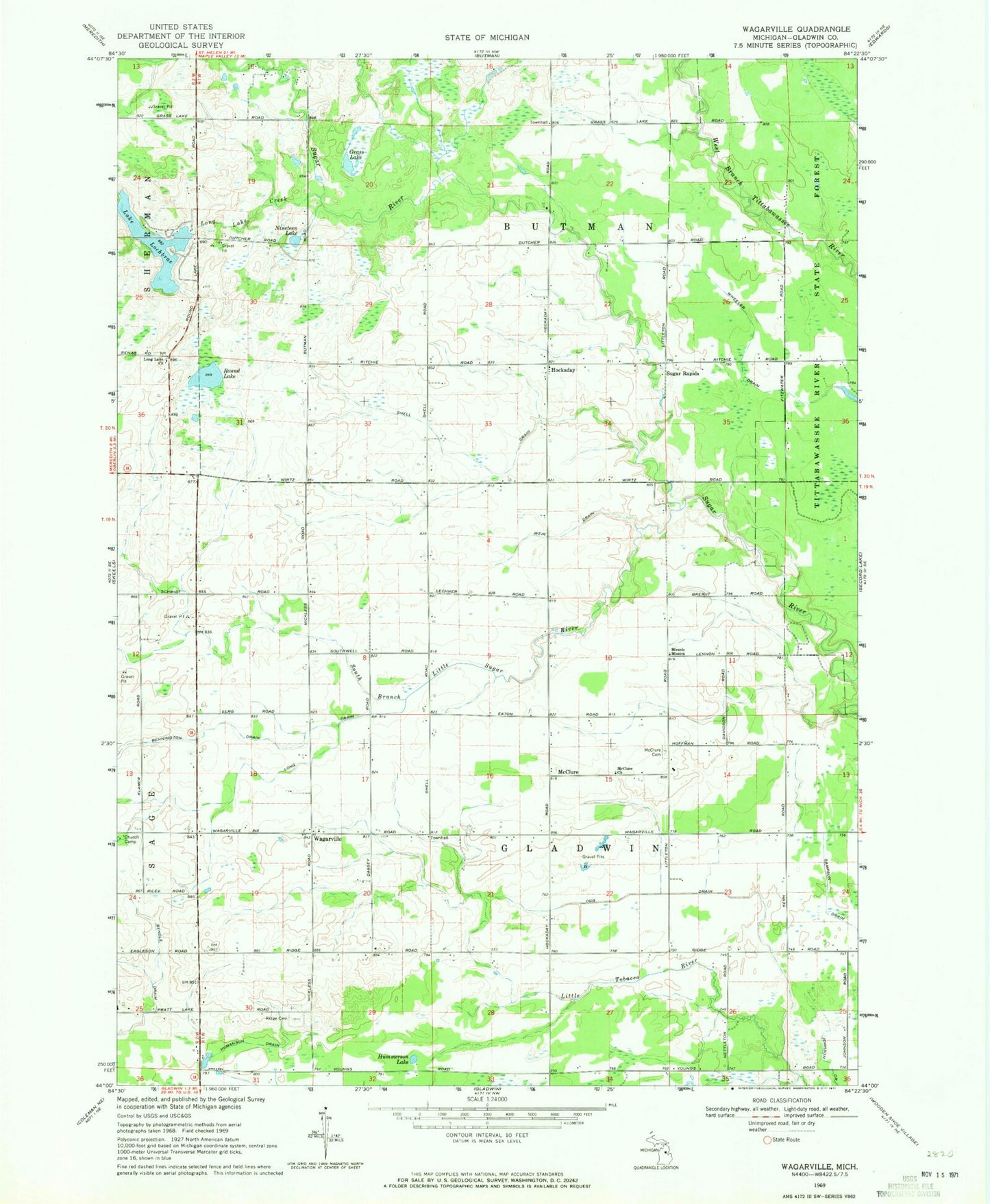
Classic USGS Wagarville Michigan 7.5'x7.5' Topo Map
Couldn't load pickup availability
Historical USGS topographic quad map of Wagarville in the state of Michigan. Map scale may vary for some years, but is generally around 1:24,000. Print size is approximately 24" x 27"
This quadrangle is in the following counties: Gladwin.
The map contains contour lines, roads, rivers, towns, and lakes. Printed on high-quality waterproof paper with UV fade-resistant inks, and shipped rolled.
Contains the following named places: Bendle Drain, Bennington Drain, Butman Township Fire Department, Gladwin Township Hall, Grass Lake, Hockaday, Hockaday Community Church, Hockaday Post Office, Humanson Drain, Hummerson Lake, Jehovah's Witnesses, Lake Lancelot, Lake Lancer, Lake Lochbrae, Long Drain, Long Lake Church, Long Lake Creek, McClure, McClure Cemetery, McClure Church, McClure Post Office, Miracle Mission, New Hope Free Methodist Church, Nineteen Lake, Ogg Drain, Ridge Cemetery, Round Lake, Sacred Heart Cemetery, Shell Drain, South Branch Little Sugar River, Sugar Rapids, Sugar Rapids Post Office, Township of Butman, Township of Gladwin, Wagarville, Wagerville United Methodist Church, Weir Drain, Wheeler Drain, ZIP Code: 48624


