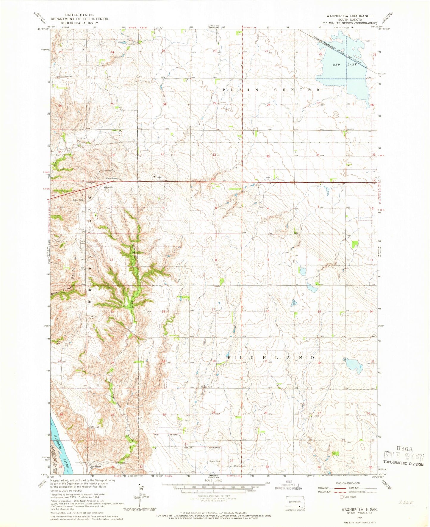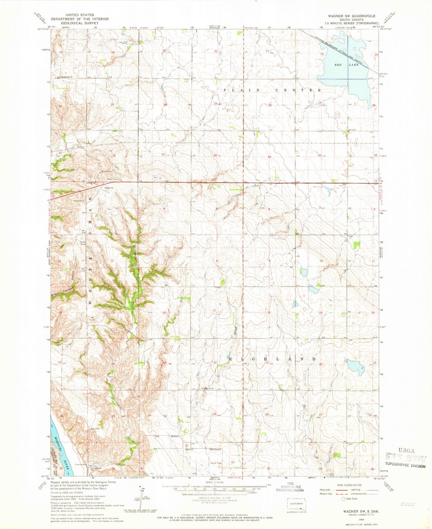
MyTopo
Classic USGS Wagner SW South Dakota 7.5'x7.5' Topo Map
Regular price
$16.95
Regular price
Sale price
$16.95
Unit price
per
Couldn't load pickup availability
Historical USGS topographic quad map of Wagner SW in the state of South Dakota. Map scale may vary for some years, but is generally around 1:24,000. Print size is approximately 24" x 27"
This quadrangle is in the following counties: Charles Mix, Gregory.
The map contains contour lines, roads, rivers, towns, and lakes. Printed on high-quality waterproof paper with UV fade-resistant inks, and shipped rolled.
Contains the following named places: Cedar Church, Cedar Presbyterian Cemetery, Pickstown Air Force Station, Red Lake, Saint Catherine Church, School Number 32, School Number 90, Township of Highland, Yankton Reservation