MyTopo
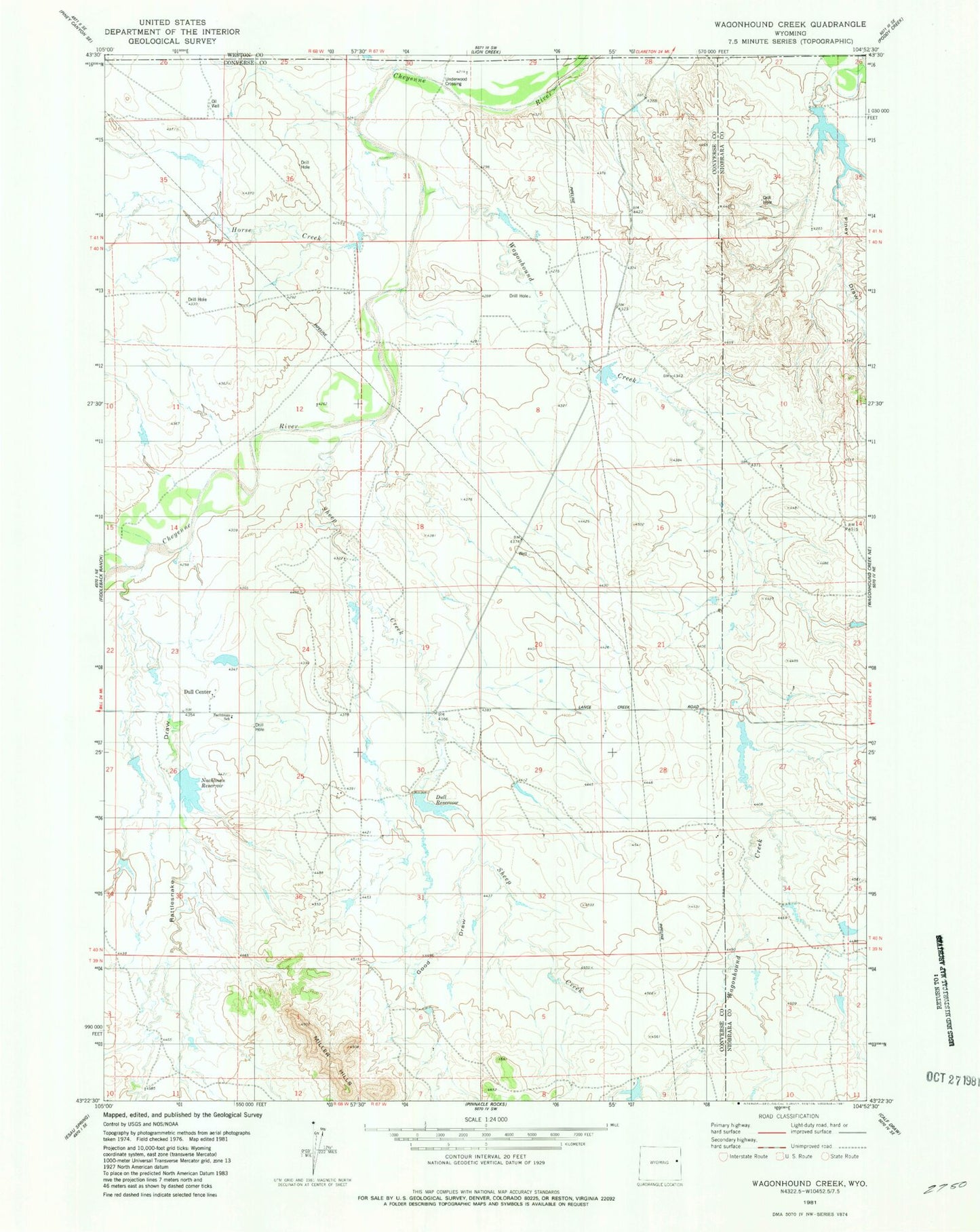
Classic USGS Wagonhound Creek Wyoming 7.5'x7.5' Topo Map
Couldn't load pickup availability
Historical USGS topographic quad map of Wagonhound Creek in the state of Wyoming. Map scale may vary for some years, but is generally around 1:24,000. Print size is approximately 24" x 27"
This quadrangle is in the following counties: Converse, Niobrara, Weston.
The map contains contour lines, roads, rivers, towns, and lakes. Printed on high-quality waterproof paper with UV fade-resistant inks, and shipped rolled.
Contains the following named places: Dull Center, Dull Reservoir, Good Draw, H Nachtman Number 1 Dam, Horse Creek, Irene Ranch, Keyton Creek, Nachtman Ranch, Nachtman Reservoir, Nachtman School, Piney Draw, Rattlesnake Draw, Saddler Ranch, Sheep Creek, Sherwin Dam, Sherwin Reservoir, Underwood Crossing, Wagonhound Creek