MyTopo
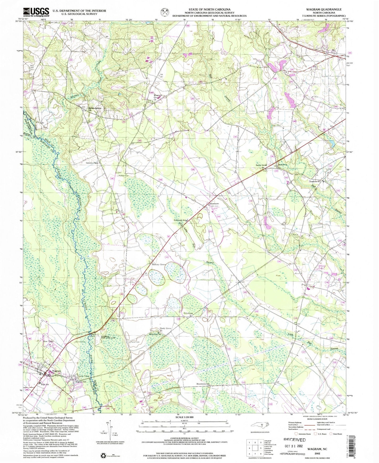
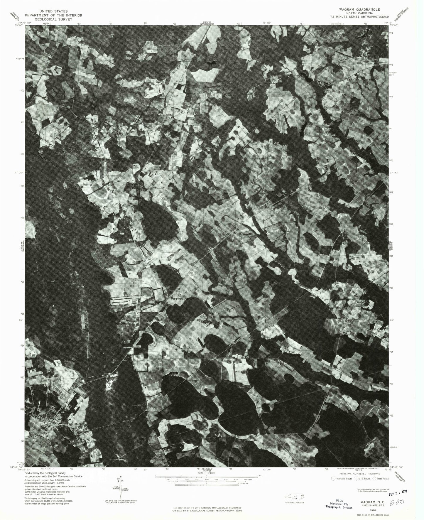
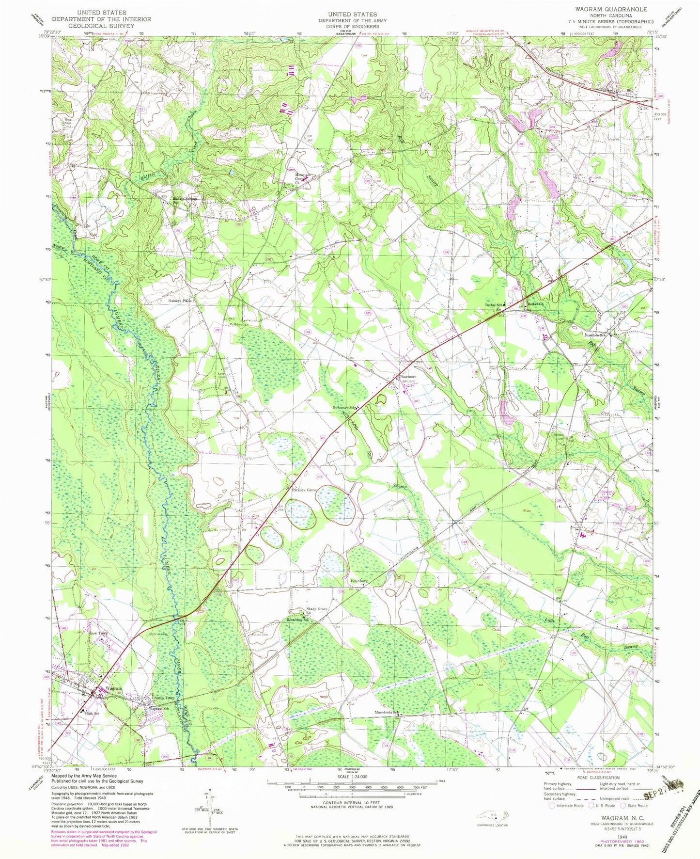
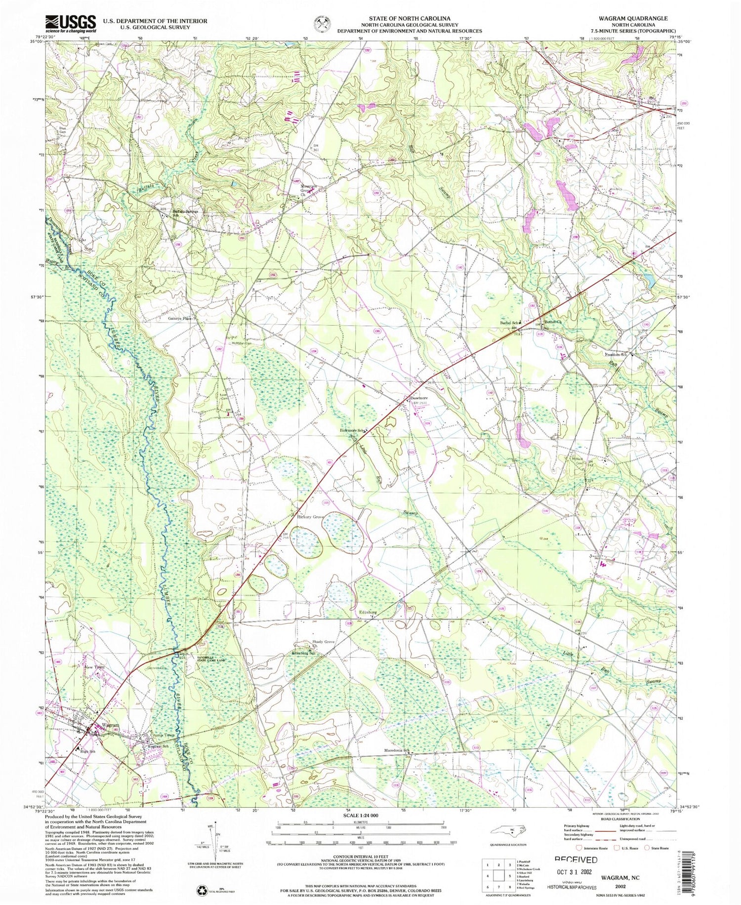
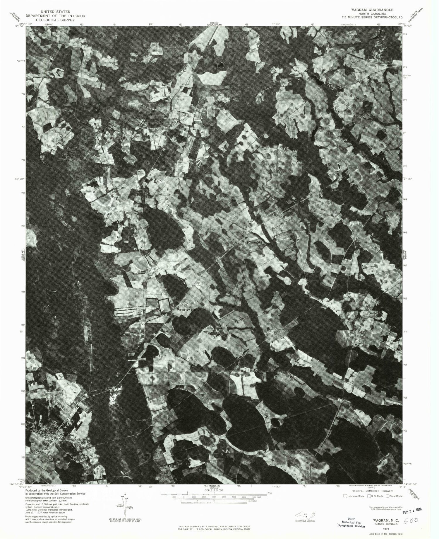
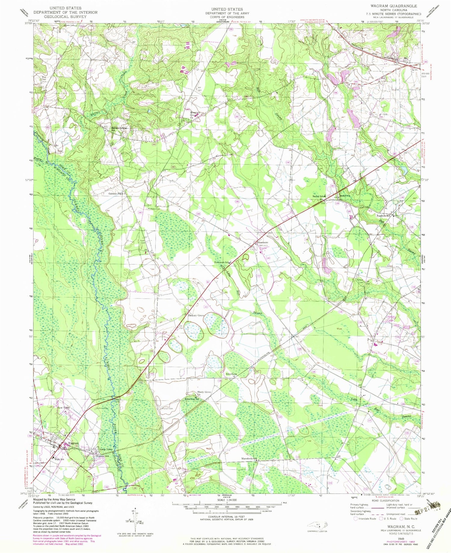
Classic USGS Wagram North Carolina 7.5'x7.5' Topo Map
Couldn't load pickup availability
Historical USGS topographic quad map of Wagram in the state of North Carolina. Map scale may vary for some years, but is generally around 1:24,000. Print size is approximately 24" x 27"
This quadrangle is in the following counties: Hoke, Scotland.
The map contains contour lines, roads, rivers, towns, and lakes. Printed on high-quality waterproof paper with UV fade-resistant inks, and shipped rolled.
Contains the following named places: Bethel Church, Bethel School, Blue Cemetery, Bowmore, Bowmore Census Designated Place, Bowmore School, Brown Cemetery, Buffalo Creek, Buffalo Springs School, Crump Town, Drowning Creek, Earl Hendrix Dam, Edenburg School, Edinburgh, Freedom School, Gaineys Place, Gilchrist Cemetery, Hendrix Farms, Hickory Grove, Hoke Livestock Farms, Love Cemetery, Macedonia School, McMillan Cemetery, McNeill Cemetery, Mountain Grove Church, New Town, North Scotland Volunteer Fire Department, Purcell Cemetery, Raeford Livestock Farms, Shady Grove Church, South Hoke Elementary School, Town of Wagram, Township of Blue Springs, Wagram, Wagram Police Department, Wagram Post Office, Wagram School, Watery Branch, West Hoke Elementary School, West Hoke Fire Department, Wrights Pond, Wrights Pond Dam
