MyTopo
Classic USGS Wags Pinnacle Wyoming 7.5'x7.5' Topo Map
Regular price
$16.95
Regular price
Sale price
$16.95
Unit price
per
Couldn't load pickup availability
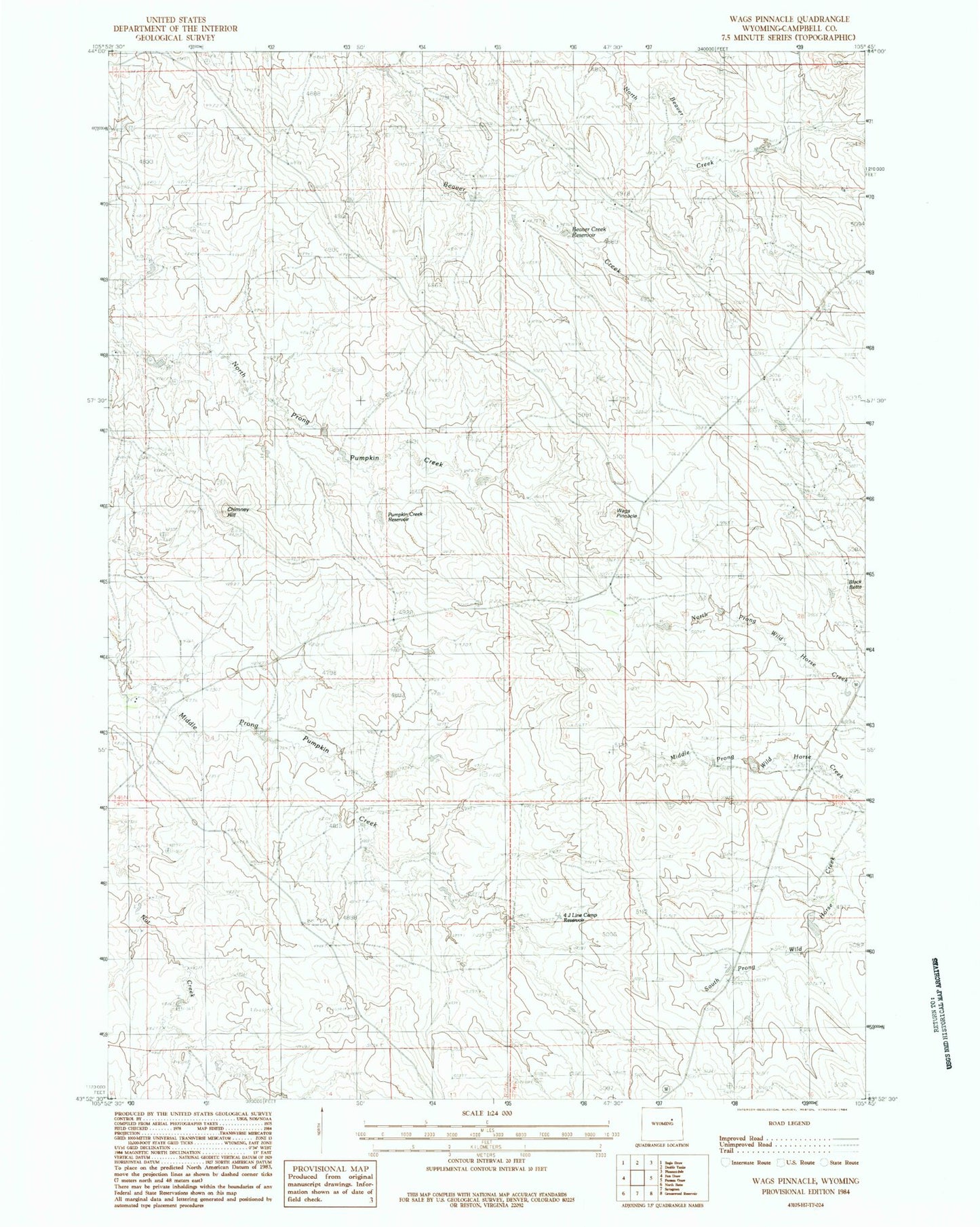
Historical USGS topographic quad map of Wags Pinnacle in the state of Wyoming. Map scale may vary for some years, but is generally around 1:24,000. Print size is approximately 24" x 27"
This quadrangle is in the following counties: Campbell.
The map contains contour lines, roads, rivers, towns, and lakes. Printed on high-quality waterproof paper with UV fade-resistant inks, and shipped rolled.
Contains the following named places: Auld Ranch, Beaver Creek Reservoir, Chimney Hill, Four-4 Line Camp Reservoir, Howell Ranch, Innes Dam, Innes Ranch, Innes Reservoir, Jordan Ranch, Pumpkin Creek Reservoir, Rassback Ranch, Schlautmann School, Wags Pinnacle, Wagstaff Ranch, Wild Horse Slope