MyTopo
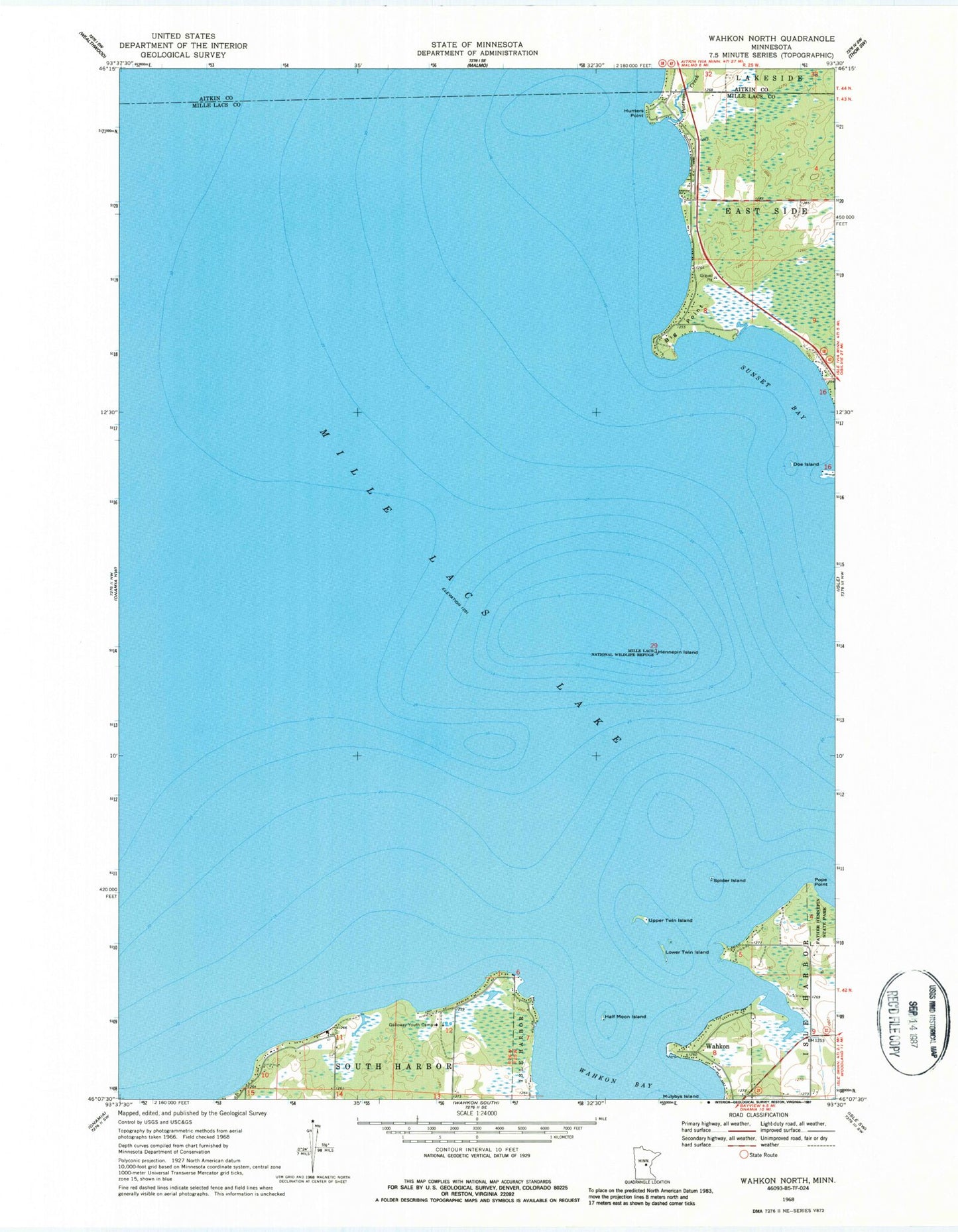
Classic USGS Wahkon North Minnesota 7.5'x7.5' Topo Map
Couldn't load pickup availability
Historical USGS topographic quad map of Wahkon North in the state of Minnesota. Map scale may vary for some years, but is generally around 1:24,000. Print size is approximately 24" x 27"
This quadrangle is in the following counties: Aitkin, Mille Lacs.
The map contains contour lines, roads, rivers, towns, and lakes. Printed on high-quality waterproof paper with UV fade-resistant inks, and shipped rolled.
Contains the following named places: Big Point, Doe Island, Galloway Youth Camp, Half Moon Island, Hazelglade Resort Seaplane Base, Hennepin Island, Hunters Point, Lower Twin Island, Mille Lacs National Wildlife Refuge, Peterson Creek, Pope Point, Spider Island, Sunset Bay, Township of South Harbor, Upper Twin Island, Wahkon Bay