
MyTopo
Classic USGS Wahoo Peak Idaho 7.5'x7.5' Topo Map
Regular price
$16.95
Regular price
Sale price
$16.95
Unit price
per
Couldn't load pickup availability
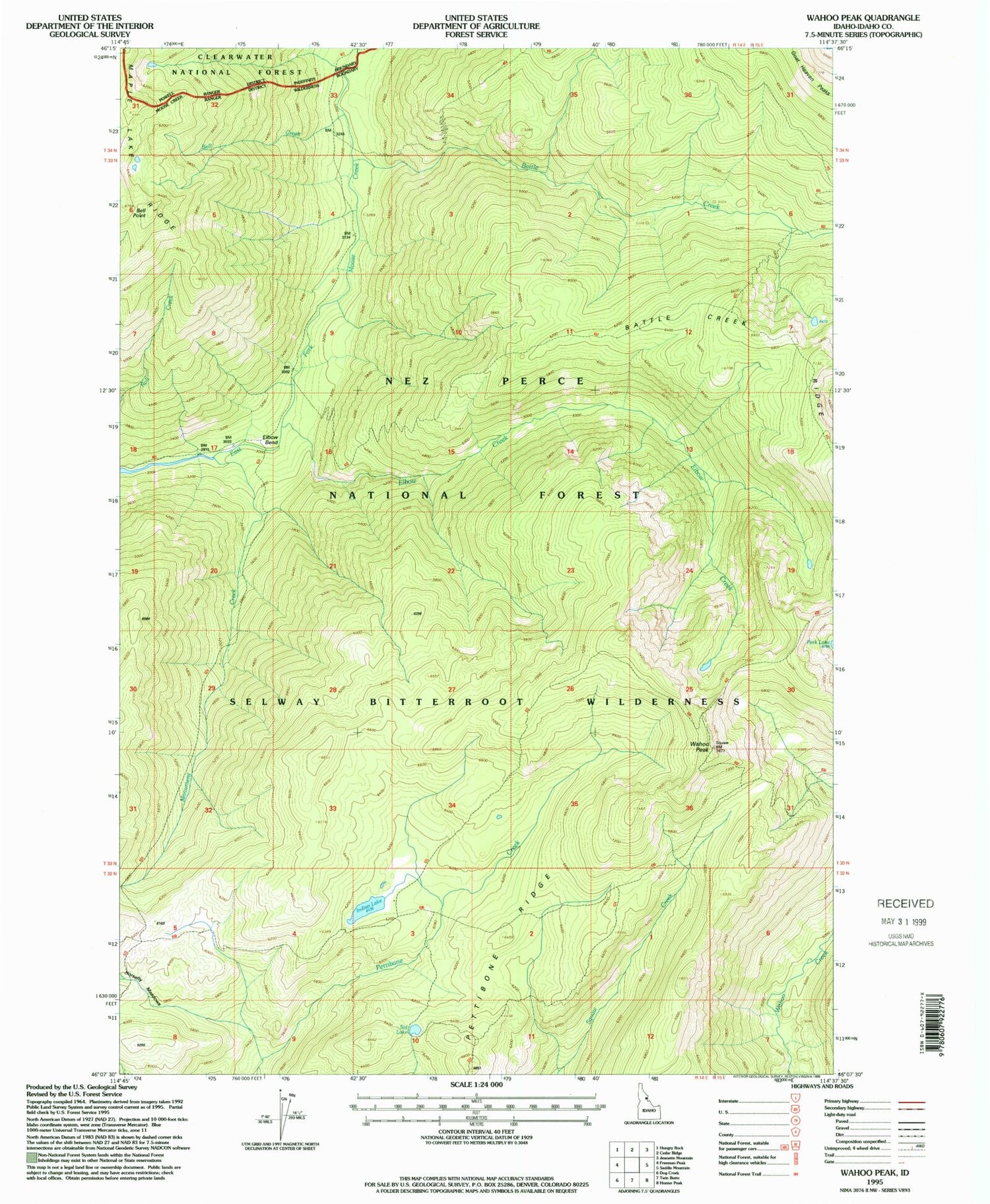
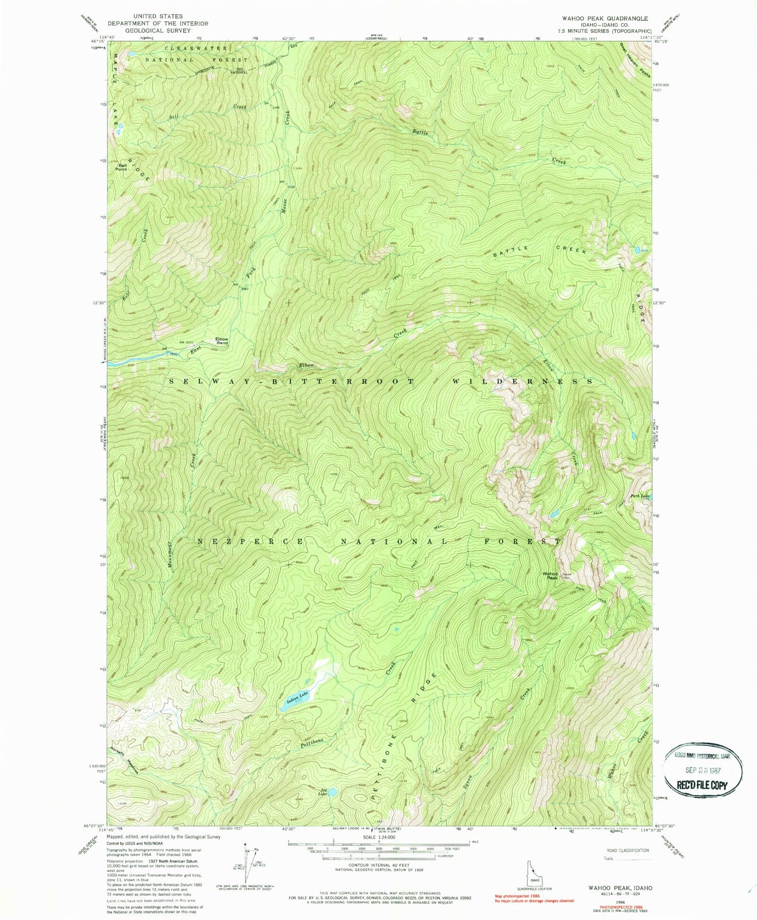
Historical USGS topographic quad map of Wahoo Peak in the state of Idaho. Map scale may vary for some years, but is generally around 1:24,000. Print size is approximately 24" x 27"
This quadrangle is in the following counties: Idaho.
The map contains contour lines, roads, rivers, towns, and lakes. Printed on high-quality waterproof paper with UV fade-resistant inks, and shipped rolled.
Contains the following named places: Battle Creek, Bell Creek, Bell Point, Cedar Creek, Elbow Bend, Elbow Creek, Goat Heaven Peaks, Horsefly Meadows, Indian Lake, Monument Creek, Pettibone Ridge, Selway-Bitterroot Wilderness, Sid Lake, Wahoo Peak


